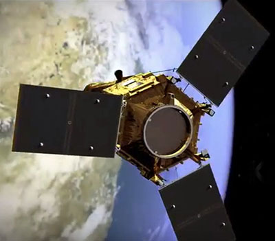
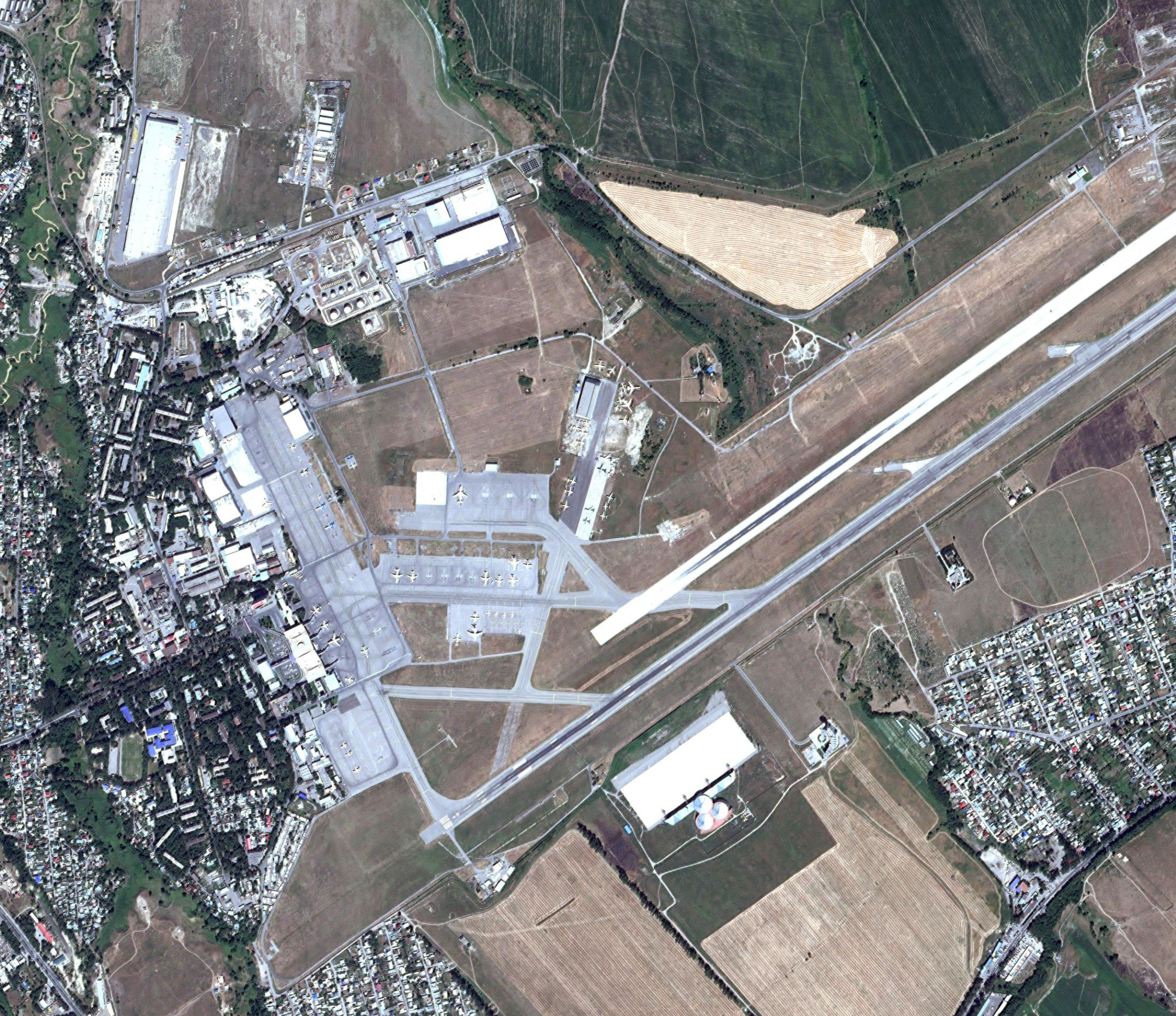
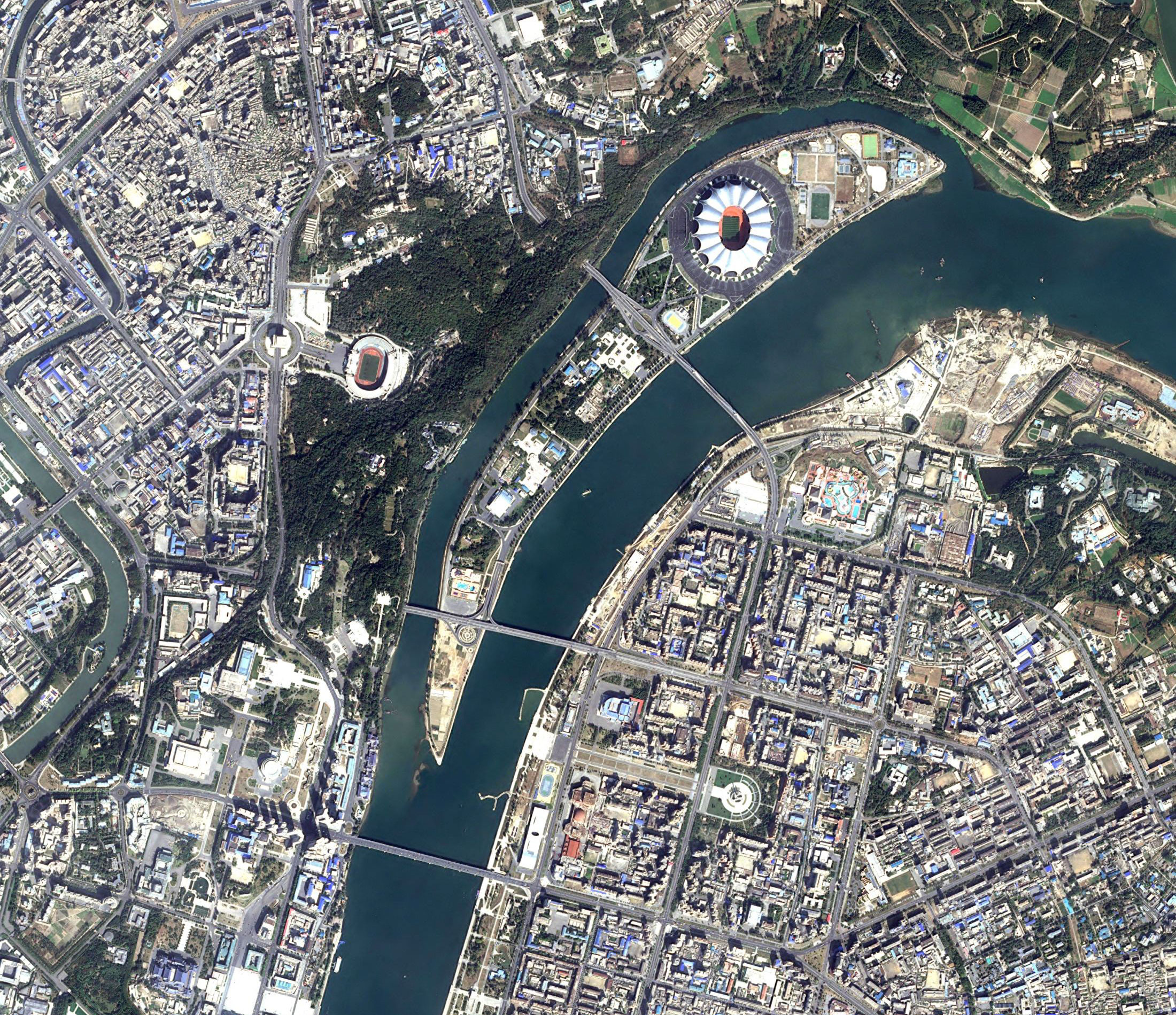
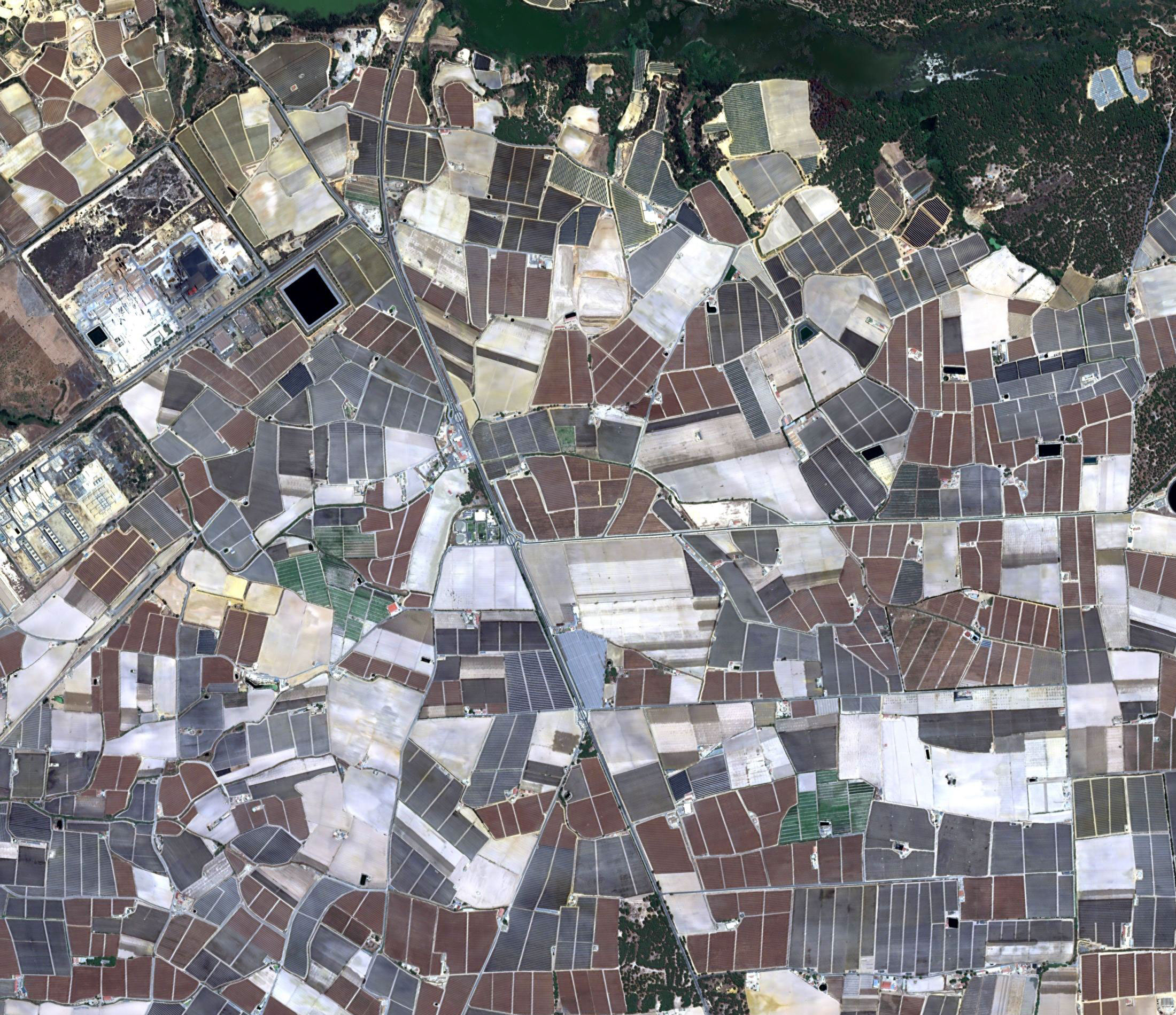
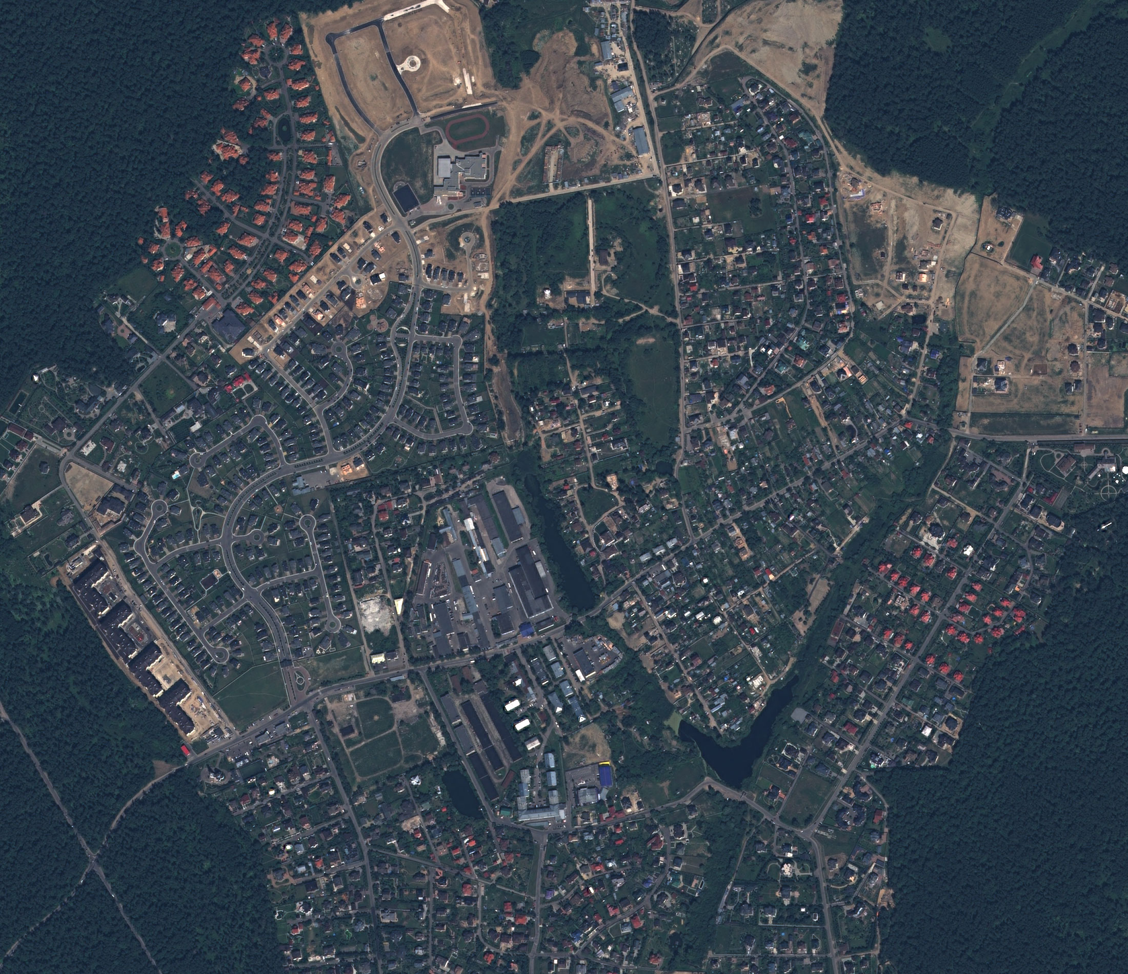
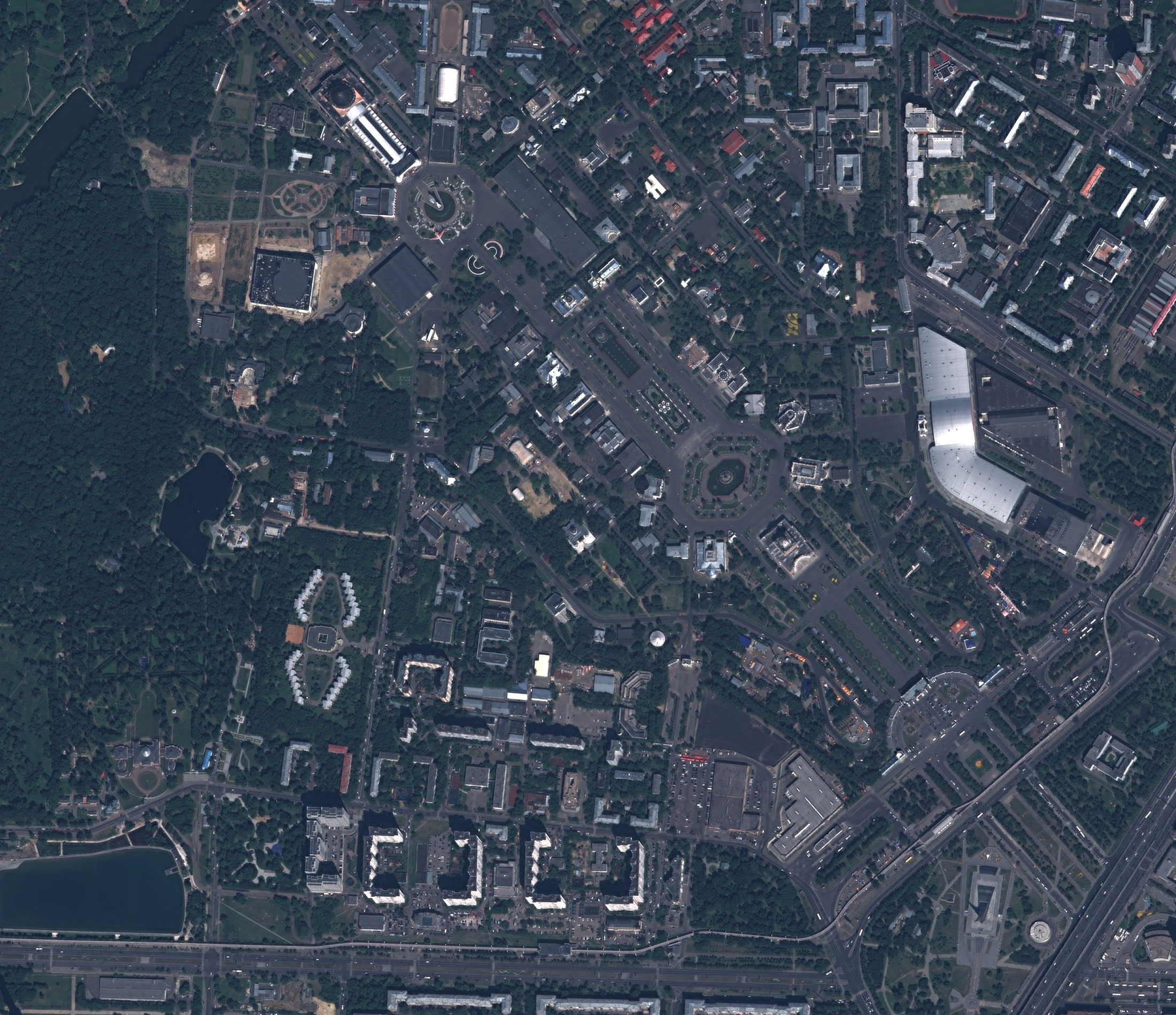
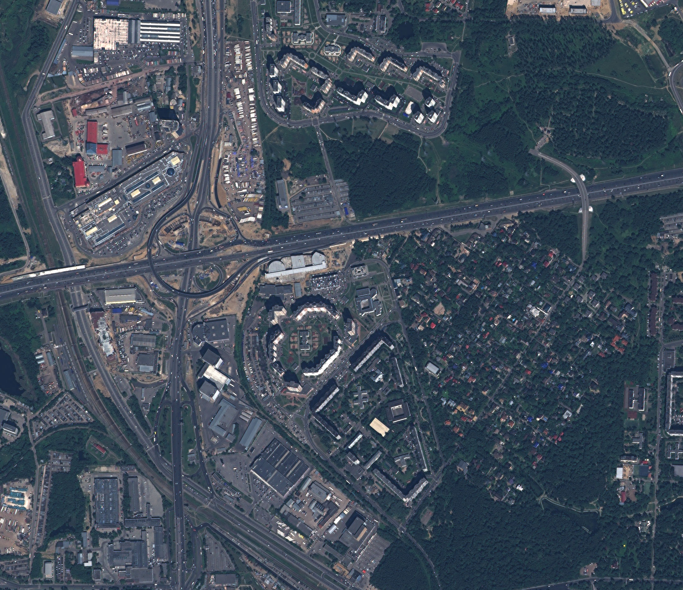
KazEOSat-1 (Kazakhstan Earth Observation Satellite) is the first Kazakh satellite of remote sensing of the Earth, created by the order of Government of the Republic of Kazakhstan by the European company "Airbus Defence and Space" on the basis of satellite platform "Leostar-500-XO".
Technical characteristics of the spacecraft imaging systemKazEOSat-1 satellite
| Type of shooting | Optical |
|---|---|
| Shooting modes | Mono and stereo |
| Number of channels | 5 |
| Channel set | PAN+RGB+NIR |
| Permission on the ground PAN, m | 1 |
| Permission on the ground MS, m | 4 |
| Capture width | 20 |
| CE90 binding accuracy, m | 15 |
| Method of obtaining a stereo pair | Within a single orbit |
| Dynamic range, bits/pixel | 12 |
Characteristics of the space satellite
| Operator | Kazakhstan Gharysh Sapary |
|---|---|
| Operating country | Kazakhstan |
| Launch date | 30.04.2014 |
| Mission completion date | Mission active |
| Mass of the spacecraft | 820 |
| Orbit type | Sun-synchronous |
| Orbital altitude | 759 |
| Re-shooting period, days | 3 |
| Service life | 7 |
| Type of shooting to order | Archive/New tasking |
| Availability of samples | Yes |
Description of the satellite KazEOSat-1 satellite
The KazEOSat-1 satellite was created to carry out the tasks of land observation, geospatial mapping and to monitor natural resources, environmental change and support various applications in civil and commercial activities.It was launched on 29 April 2014 and was launched by a Soyuz-2.1a launcher from the Baikonur launch site.
The satellite operates in a sun-synchronous orbit (SSO), which ensures that observations are regularly repeated over the same area of the Earth under continuous light conditions.
Kazeosat-1 is capable of receiving images with a resolution of up to 1 m, allowing for detailed mapping and monitoring of objects on the Earth's surface.
The satellite operates in several spectrum ranges, including visible, infrared and ultraviolet ranges, which allow for the collection of a variety of ground surface and atmospheric data.
KazEOSat-1 is a feature of its ability to obtain and transmit data quickly, making it a useful tool for disaster monitoring, crisis management and other important tasks.
KazEOSat-1 is developed by Airbus Defence and Space.