The South Korean


In development of the new device was invested 286.6 billion Korean won or 252 million dollars. In total, South Korea plans to place five satellites with similar functionality in orbit.
Kompsat - 3A, identical to Kompsat-3, launched on 26.03.2015.
The KompSat-3 spacecraft consists of a payload-an AEISS (Advanced Earth Imaging Sensor System) camera and a satellite platform that takes it into space. The height of The KompSat-3 spacecraft is about 3.5 m with a diameter of 2.0 m in the withdrawal configuration. With the deployed solar panels and x-band antennas, the height and length are respectively about 4.7 and 6.9 m. the mass of the KompSat-3 spacecraft in the refueled state is about 1000 kg.
Technical characteristics of the spacecraft KompSat-3, 3A:
| Name of the spacecraft | KompSat-3,3A |
|---|---|
| Country | South Korea |
| Developer | KARI, EADS Astrium |
| Operator | KARI |
| Launch vehicle | Rokot-KM |
| Launch date |
KompSat-3 17.05.2012 KompSat-3A 26.03.2015 |
|
Orbit: height, km inclination, degree circulation period, min number of turns per day time at the equator, hour |
Solar-synchronous daytime 685 98,1 98.5 14.6 13:30 |
|
Platform: shooting equipment deflection angle, deg, deg |
– AEISS 45 |
| Period of active existence, years | 4 |
| Follow-up period, day | 3 |
| Power, W | 1300 |
| Size of spacecraft, m×m | 3.5×2.0 |
| Mass of spacecraft, kg | 1000 |
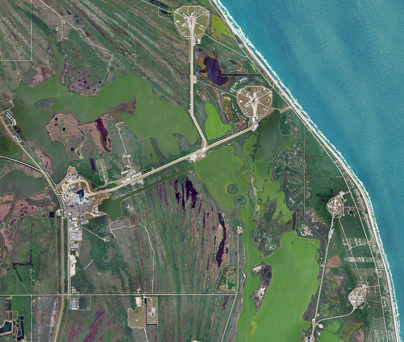
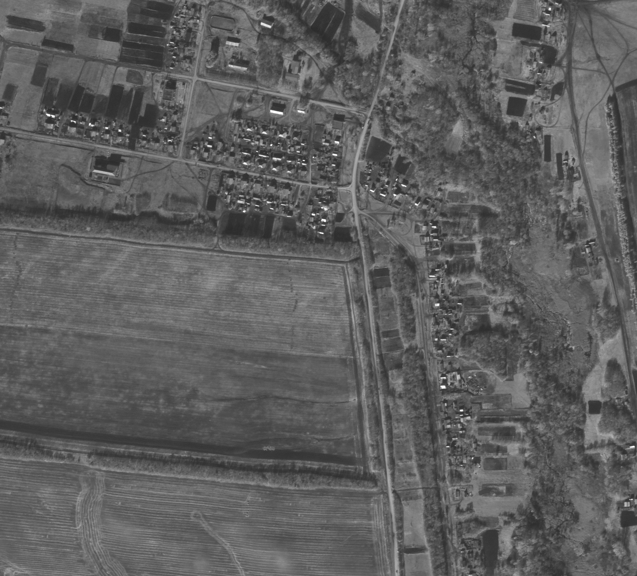
According to the Ministry of science and technology of South Korea, the satellite will provide the opportunity to obtain accurate weather data, information on atmospheric fronts and weather over the ocean. The authorities also say that the device can be used for monitoring in case of natural disasters,as well as environmental monitoring.
Technical characteristics of onboard survey equipment
| Name of spacecraft | KompSat-3 | KompSat-3A |
|---|---|---|
| Name of shooting equipment | MSC | |
| Focal length, m | 8,6 | |
| Diameter of the main mirror, cm | 80 | |
| Relative aperture | 1:12 | |
| Spectral ranges, microns |
Panchromatic 0.45-0.90 Blue 0.45-0.52 Green 0.52-0.60 Red 0.63-0.69 NIR 0.76-0.90 |
|
| Pan element size, microns | 8,75 | |
| Number of PAN elements, microns | 17,5 | |
| The number of elements of MS, mcm | 6000 | |
|
Terrain resolution |
0,5 2,0 16,8 |
0,4 1,6 12 |
| Data transfer rate, Mbit / sec | 320 | |
| Memory capacity, Gbit | 64 and 96 | |
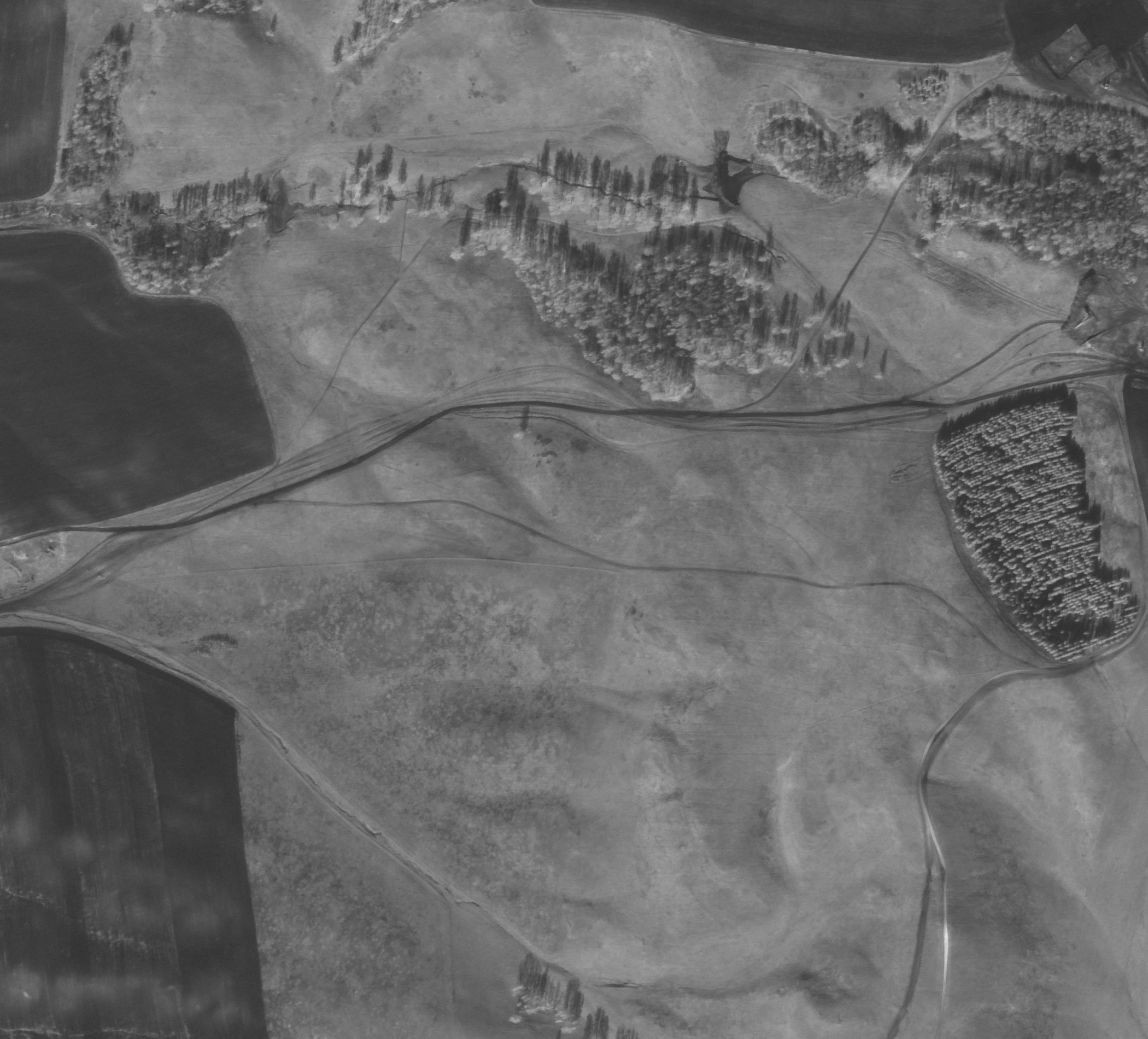
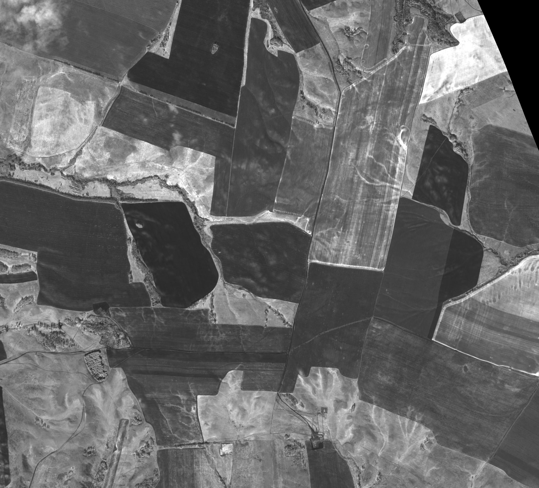
The main cases of using data obtained from the spacecraft KompSat-3, 3A:
- creating and updating topographic maps and plans up to 1: 5,000 scale.
- creation of digital elevation models (DEM) of high accuracy.
- engineering surveys for the construction of infrastructure transportation and production of oil and gas.
- implementation of forest management works, inventory and assessment of forests.
- inventory of agricultural land, creation of land use plans.
- creation of city plans and schemes of territorial planning of municipal districts.
- inventory and monitoring of transport, energy and information communications.
- observations of natural disasters.
- control over the use of natural resources.
- conducting research in various fields.
- solution of applied problems.
For a preliminary calculation of the cost of covering the territory you need, space images from satellites KompSat-3, 3A and alternative send the terms of reference or the coordinates of the site by e-mail: innoter@innoter.com we Will be glad to answer your questions by phone: +7 (495) 245-04-24