Landsat-8 is assembled by Orbital Sciences Corporation under contract from NASA on the basis of its own Orbital LEOSt platform. To optimize the accuracy of determining the orientation of the satellite, three high-precision astrodetectors (ar-3, two of which operate in active mode), a scalable inertial guidance system SIRU (Scalable Inertial Reference Unit), GPS receivers and two triaxial magnetometers are used. Improved performance of the target instruments reduces radiometric distortion compared to previous Landsat satellites, and the use of more advanced CCD devices improves signal-to-noise ratio and image quality. The instruments measure 4096 different levels of reflected light, while the ETMP onboard camera on the Landsat-7 satellite could measure 256 different levels.
Three ground stations located in Sioux falls (South Dakota), Svalbard (Norway) and Gilmore Creek (Alaska) are used to receive data from the LDCM satellite. The global Landsat data archive contains coverage of almost the entire surface of the Earth, with some regions, including the entire territory of Russia, filmed repeatedly. Every day, these stations receive up to 400 images of the Earth's surface, which are available to users within 24 hours.
Technical characteristics of Landsat-8 spacecraft
| Name of the spacecraft | Landsat-8 |
|---|---|
| Country | USA |
| Developer | Orbital Sciences Corporation (OSC) (USA; ex. General dynamic information systems); aerospace (USA) |
| Operator | NASA, USGS (USA) |
| Launch vehicle | Atlas 5 |
| Launch date | 11.02.2013 |
|
Orbit: height, km inclination, degree circulation period, min number of turns per day crossing time of the equator, hours |
Solar-synchronous 705 98.2 98.9 14.6 10:05 |
| Period of active existence, years | 5 |
| Power, W | 4300 |
| Mass of spacecraft, kg | 2623 |
| Follow-up period, day | 16 |
Technical characteristics of Landsat-8 survey equipment:
| Name of the imaging system | OLI and TIRS |
| Spectral ranges, microns |
Panchromatic: 0.50 to less than 0.68 Purple: 0.43-0.45 Blue: 0.45-0.52 Green: 0.53-0.60 Red: 0.63-0.68 Near IR: 0.85–0.89 IR: 1.36-1.39, 1.56-1.66, 2.10-2.30 Thermal IR: 10.40-12.50 |
| Number of line elements | 6000 (OLI; 18000 PAN), 1500 (TIRS) |
| Dynamic range, bit | 12 |
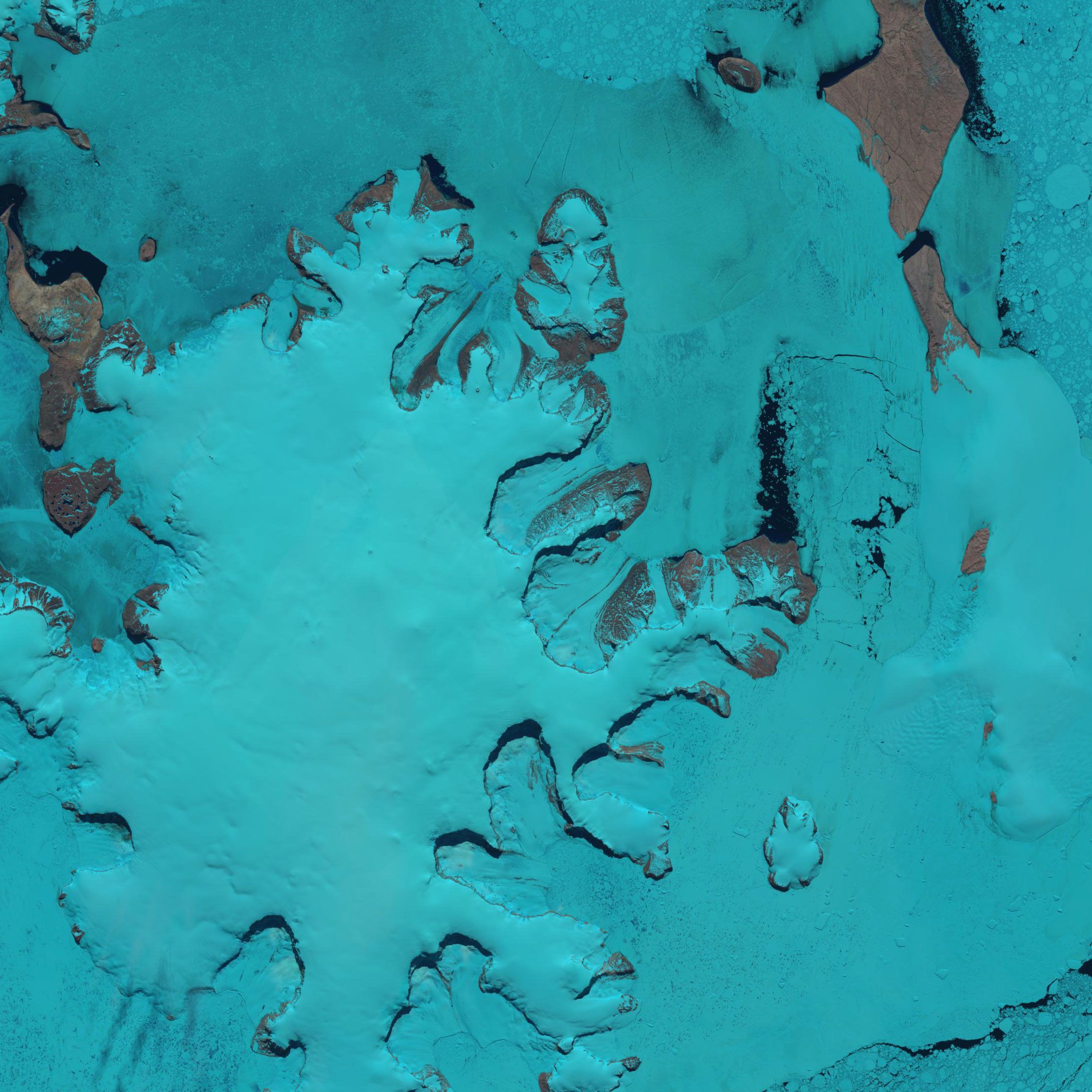
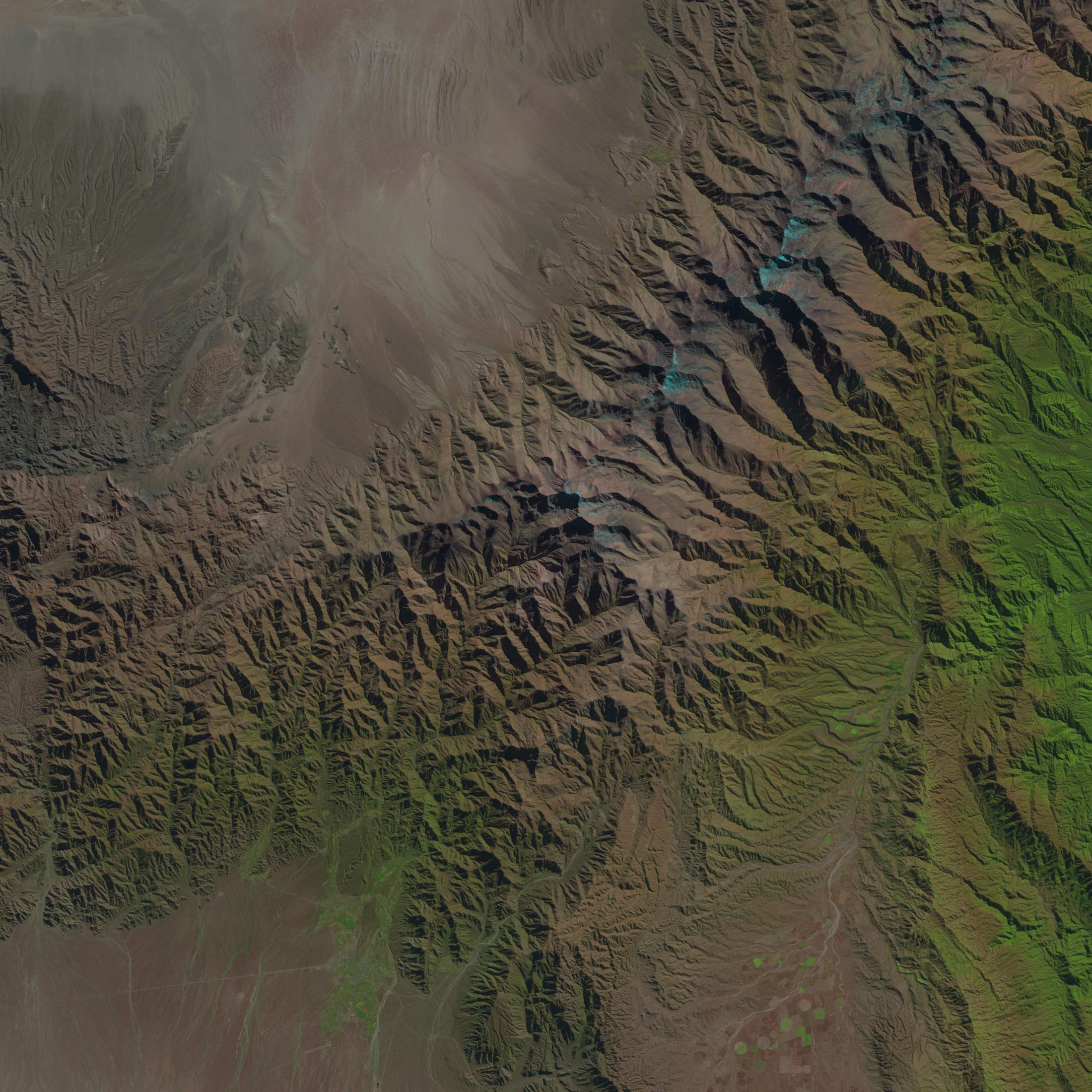
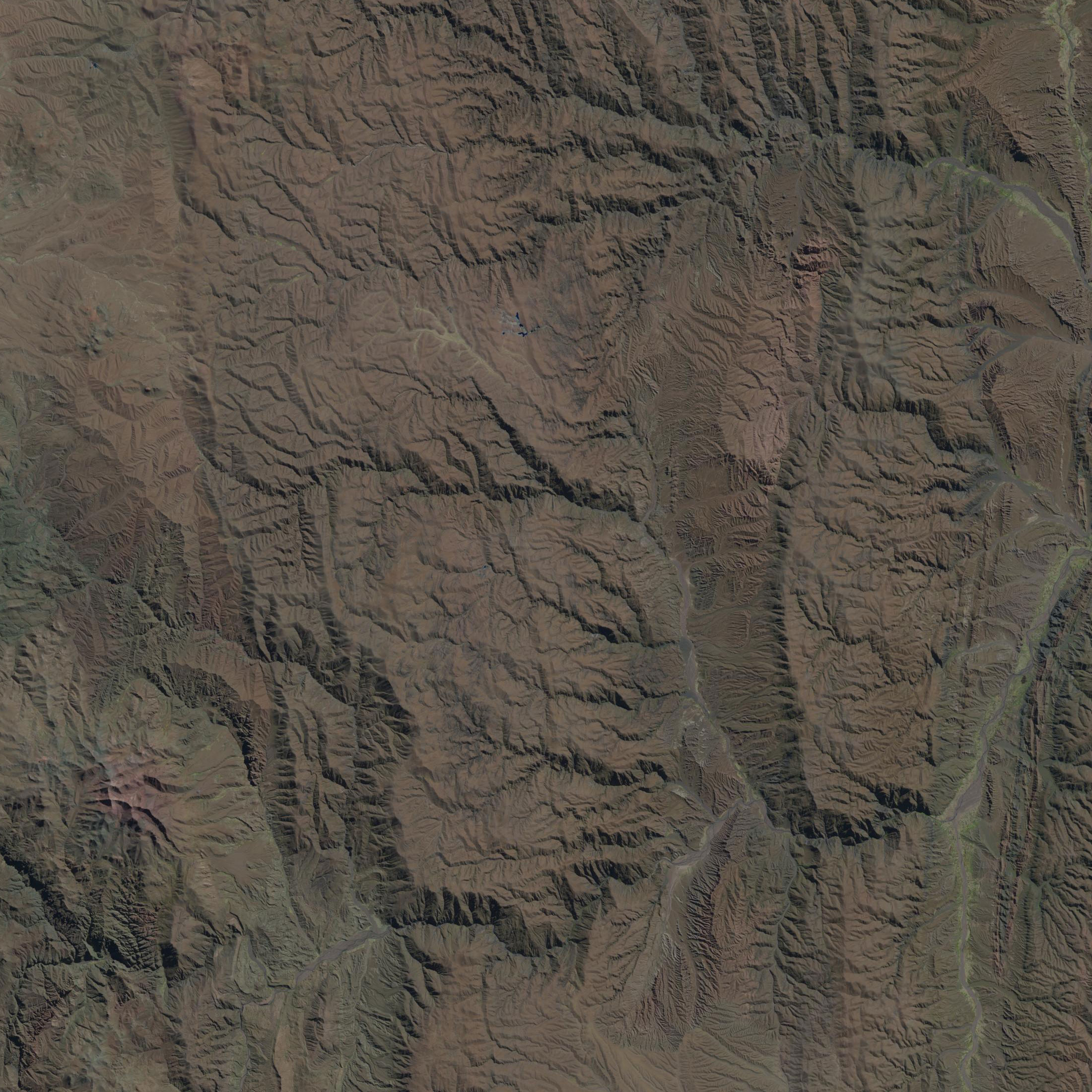
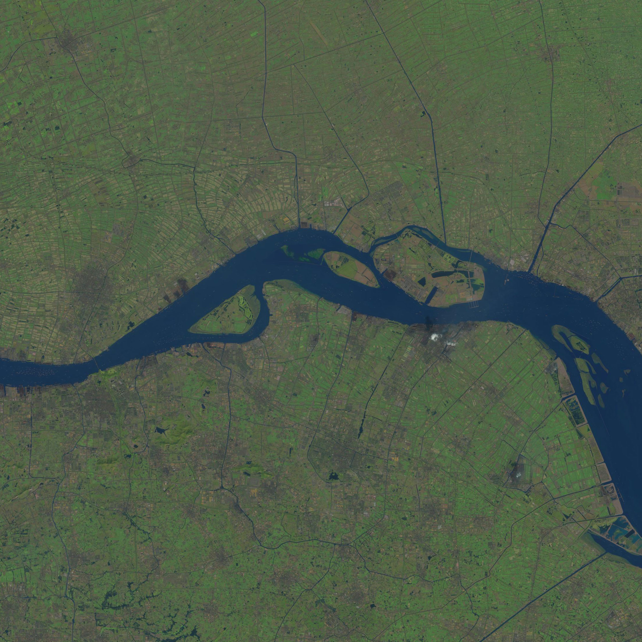
| Spatial Resolution, m | 15 (PAN), 30 (VNIR, SWIR), 100 (TIR) |
| Shooting bandwidth, km | 185 |
| Data transfer rate, Mbit / sec | 265(OLI), 26,2(TIRS) |
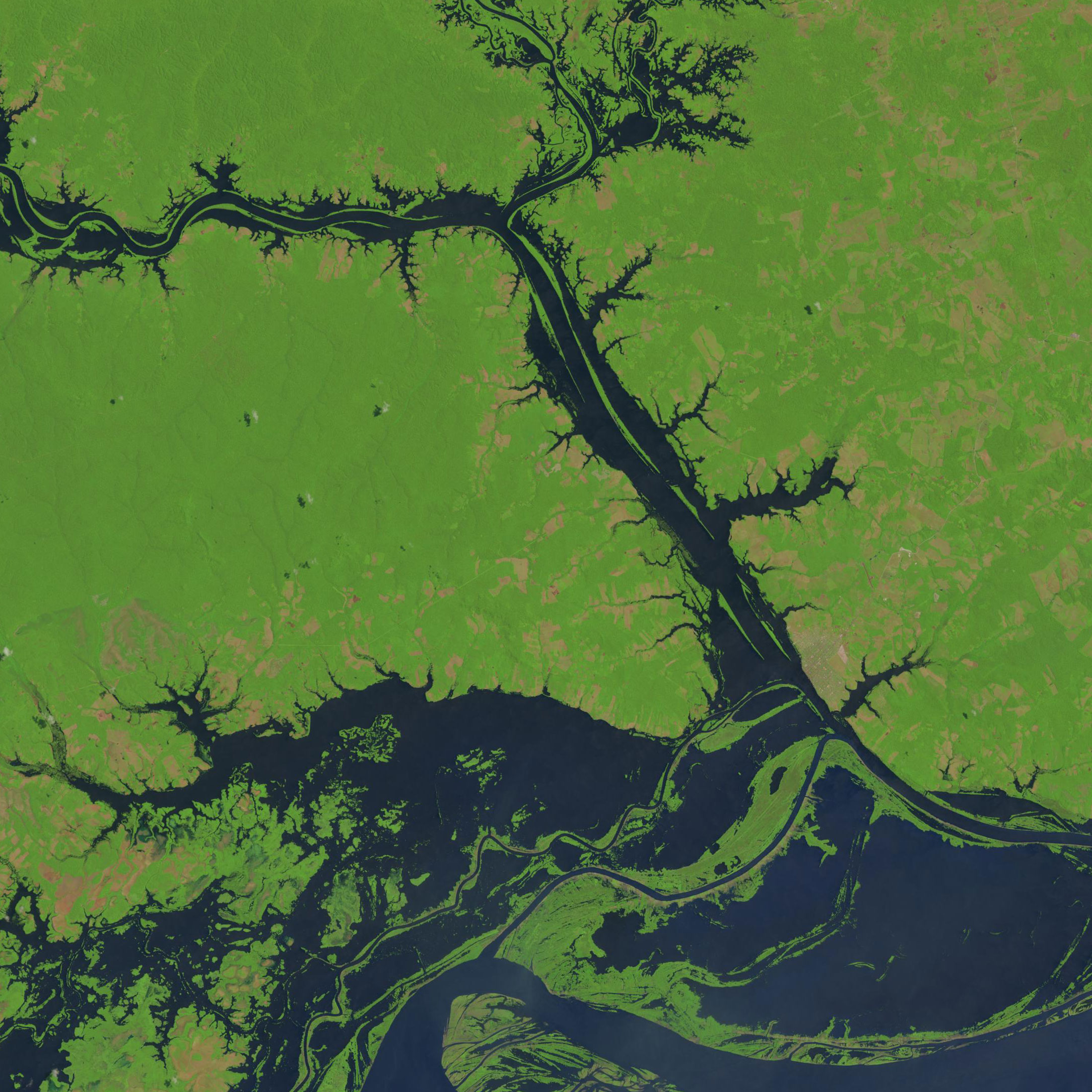
Main areas of using data obtained from Landsat-8 spacecraft:
- updating the topographic sub-basis for the development of projects of territorial planning schemes of the subjects of the Federation.
- justification of prospective areas for oil and gas exploration, forecasting and identification of oil and gas traps, potential assessment of their oil and gas potential.
- monitoring and forecasting of waterlogging and desertification, salinization, fires, floods, floods, etc.
- prevention and liquidation of emergency situations.
- environmental monitoring.
- Collection and preservation of multispectral images of medium resolution (30 meters per point) for at least 5 years.
- Maintain geometry, calibration, coverage, spectral characteristics, image quality and data availability at a level like previous Landsat satellites.
- Free distribution of Landsat-8 images.
To order satellite imagery on the territory you are interested in, please contact the customer service Department of the company "Innoter" by e-mail: innoter@innoter.com. We will be glad to answer your questions by phone: +7 (495) 245-04-24