Pleiades is an optical satellite constellation that consists of 2 twin satellites – Pleiades-1A and Pleiades-1B, launched on 6 December 2011 and 2 December 2012 respectively. Pleiades proved very high resolution product (50 cm) with a 20 km swath.
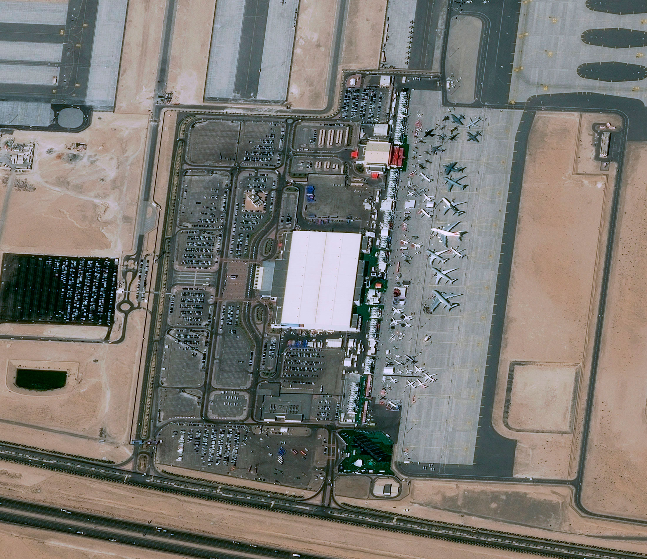
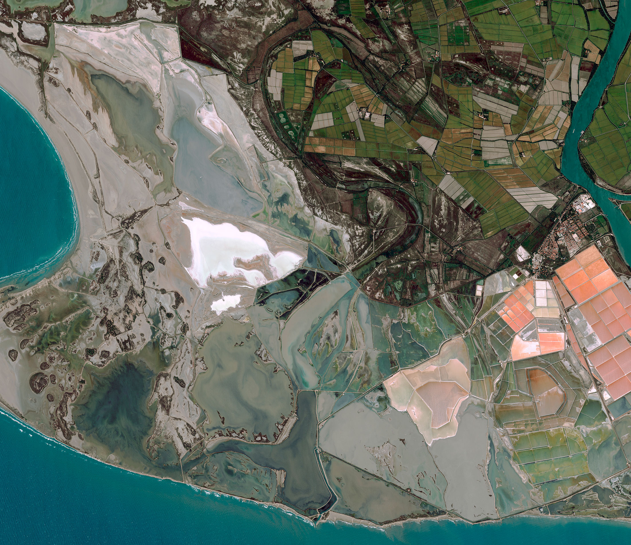
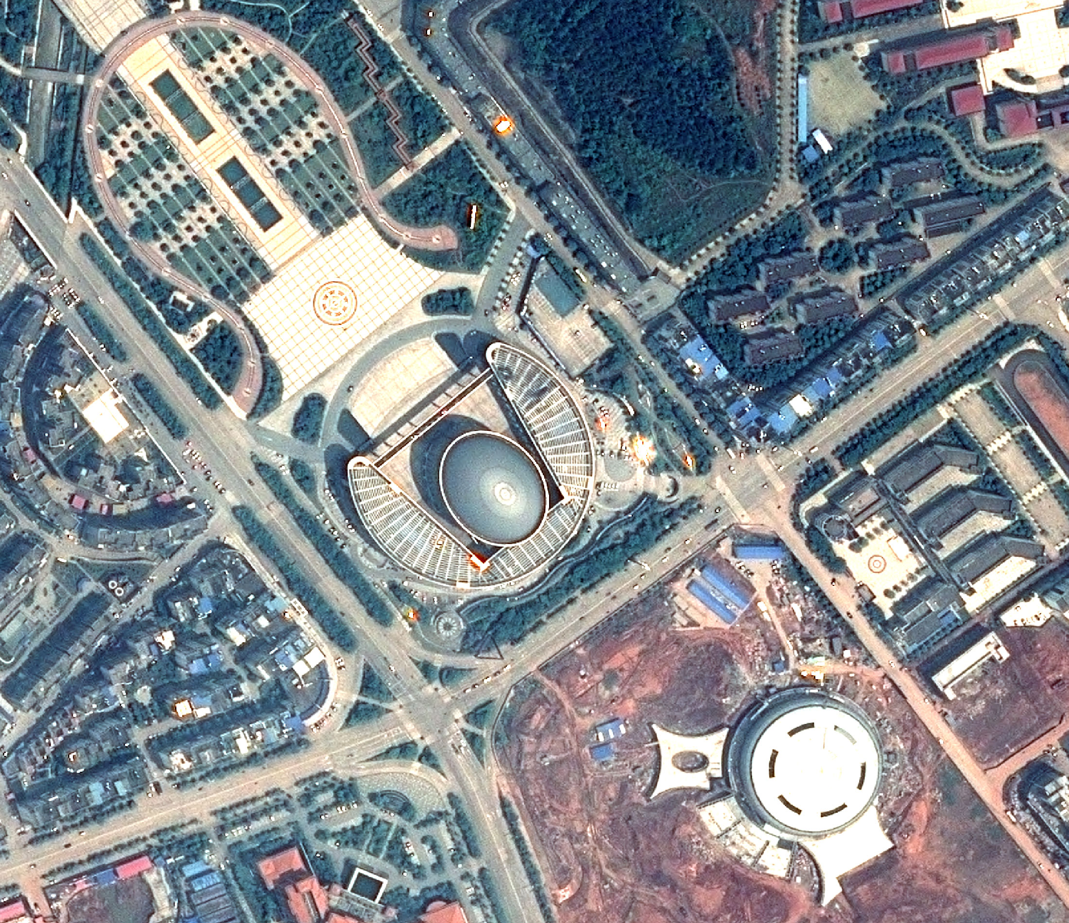
Since the spring of 2012, users around the world receive new data that differs by a wide swath (20 km), high-precision location — less than 4.5 m (CE90) without using ground control points, and the ability to automatically obtain orthorectified products for 30 minutes.
Image acquisition is tailored closely to requirements, whatever the scenario (small targets close together, large areas up to 100km×100km, stereo or tri-stereo acquisitions, or linear features such as coastlines, borders or pipelines).
To continue the Pleiades mission, Airbus Defense and Space 2020-2021. plans to launch 4 ultra-high resolution optical satellites, which will have significantly improved technical characteristics, compared with the currently operating satellites.
Spacecraft design and mission details
| Name | Pleiades |
|---|---|
| Country | France |
| Developer | EADS Astrium |
| Launch vehicle | Soyuz STA with Fregat upper stage |
| Launch date |
1A: December 17, 2011 1B: December 2, 2012 |
| Launch site | Guiana Space Centre-ELS |
| Date of deactivation | - |
|
Orbit: Type Altitude, km Inclination, deg. |
Sun-synchronous 705 98,2° |
| Mission duration, years | 5 |
| Revisit frequency, days | 1 (depends on the latitude of an area being surveyed) |
| Mass, kg | 1015 |
Specifications
| Sensor bands |
Panchromatic: 470-830 nm Blue: 430-550 nm Green: 500-620 nm Red: 590-10 nm Near-IR: 740-940 nm |
|---|---|
| Sensor resolution (at nadir), m |
PAN: 0,5 MS: 2 |
| Swath width, km | 20 |
| Horizontal accuracy (CE90%) | 4,5 m without GCPs |
| File format | GeoTIFF, DIMAP |
| Stereo option | Yes (“triplet” mode is also available) |
Conditions of placing an order
Airbus offers a wide range of products and services from Pleiades satellites. The unique ability of satellites to conduct daily re-surveys is ideal for solving tasks related to monitoring. The minimum order area for a new survey is 100 sq. km, and for the archive – 25 sq. km. The feature of the Pleiades data is the possibility of conducting a 5-km survey for specific areas of interest or for obtaining a 500-meter-wide survey strip from the archive.
Applications:
- creating and updating topographic and special maps up to the scale of 1: 2000;
- inventory and control of infrastructure facilities’ construction for the transportation and production of oil and gas;
- forest management, inventory and assessment of forests;
- inventory of agricultural land, creation of land use plans, precision farming;
- updating of the topographical basis for the development of master plans for urban development, territorial planning schemes of municipal districts;
- inventory and monitoring of the state of transport, energy, information communications;
- a wide range of environmental issues.
For cost calculation of the Pleiades imagery for your area of interest, send technical description of your proposal to: innoter@innoter.com. For consultations contact by the phone: +7 495 245-04-24