
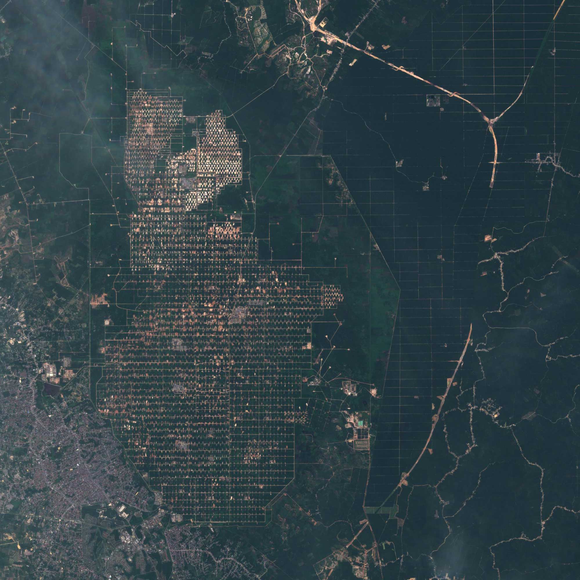
The increased bandwidth of the survey, along with the high repeatability of surveys, allows you to track rapidly changing processes, such as changes of vegetation during the growing season. Sentinel-2 data provides GMES services related to land management, agricultural production and forestry, as well as monitoring of natural disasters and humanitarian operations. The uniqueness of the Sentinel-2 mission is due to the combination of large territorial coverage, frequent re-surveys and systematic obtaining of full coverage of the entire Earth by multispectral survey of medium resolution.
Technical characteristics of the spacecrafts Sentinel‑2A, 2B:
| Name of the spacecraft | Sentinel-2A, 2B |
|---|---|
| Developer | EADS Astrium Satellites (France) |
| Operator | European Space Agency (ESA) |
| Launch vehicle | РН Vega (France) |
| Launch date |
June 23, 2015 (Sentinel-2A), March 7, 2017 (Sentinel-2B) |
|
Orbit: height, km inclination, degree |
Solar-synchronous 786 98,5 |
| Mass of spacecraft, kg | 1200 |
| Estimated period of operation (years) | 7 |
Technical characteristics of the shooting equipment Sentinel‑2A, 2B:
| Shooting mode | Hyperspectral | ||
| Spectral ranges, microns |
0.490 0.560 0.665 0.842 |
0.705 0.740 0.783 0.865 1.610 2.190 |
0.443 0.945 1.375 |
| Spatial resolution, m | 10 | 20 | 60 |
| Radiometric resolution, bits per pixel | 12 | ||
| Shooting bandwidth, km | 290 | ||
| Frequency of shooting per day | 10 | ||
Main areas of using data obtained from sentinel‑2A, 2B spacecrafts:
- monitoring of agricultural crops.
- inventory of agricultural land, creation of land use plans, precision agriculture.
- monitoring of emergency situations.
- inventory and assessment of forest condition.
- wide range of tasks in the field of environmental protection.
For preliminary calculation of the cost and selection of coverage on the territory of interest to you by satellite images Sentinel-2A, 2B send the terms of reference or the coordinates of the site by e-mail: innoter@innoter.com we will be glad to answer your questions by phone: +7 (495) 245-04-24