



Search the site
ERDAS IMAGINE
ERDAS IMAGINE provides true value, consolidating remote sensing, photogrammetry, LiDAR analysis, basic vector analysis and radar processing into a single product.
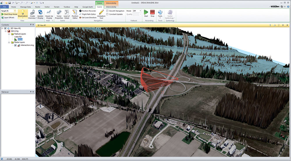
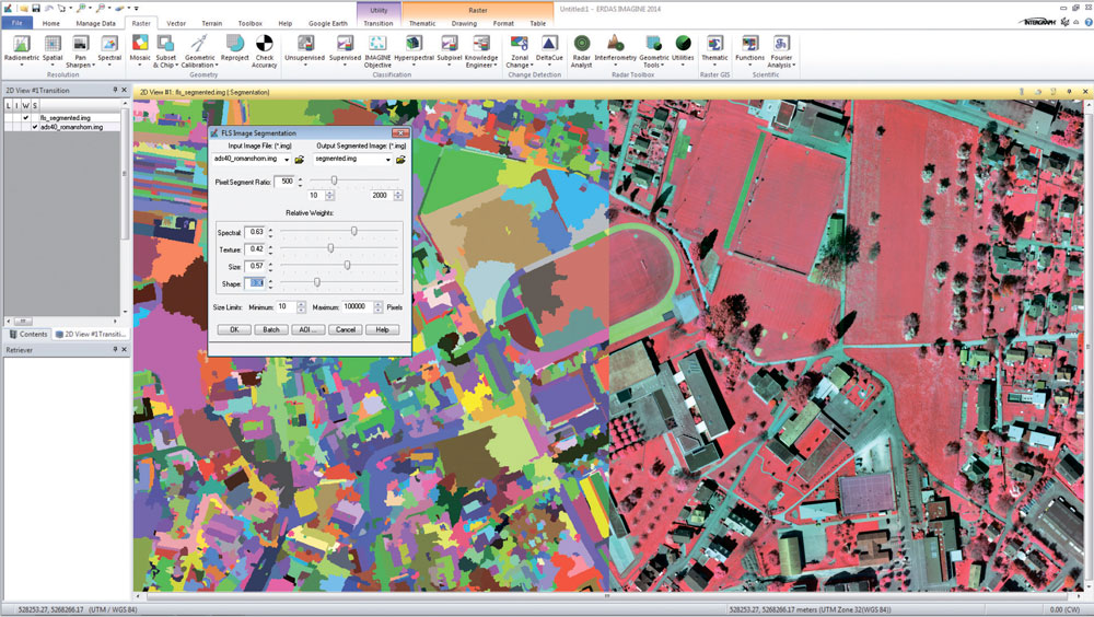
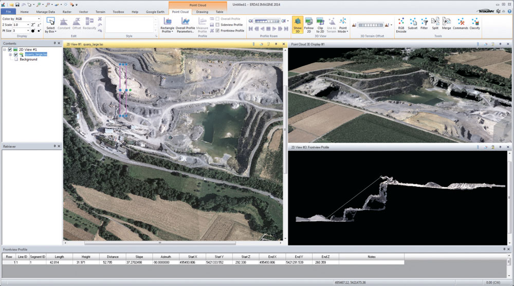
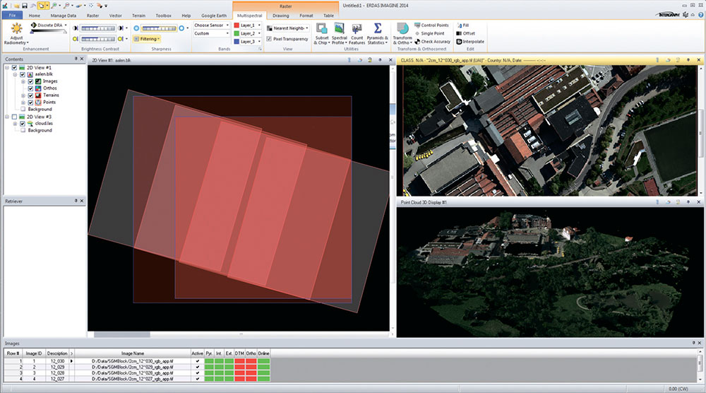
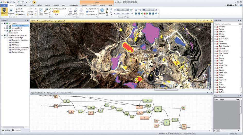
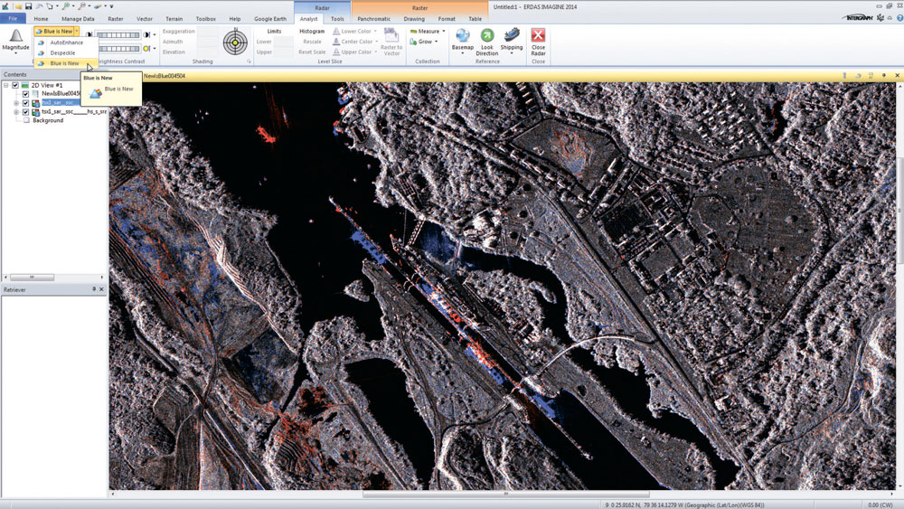
The Hexagon company offers many solutions in one, incorporating the following standards, enterprise capabilities and products:
ERDAS IMAGINE is available in three options – Essintials, Advantage, Professional.
For cost calculation and consultations contact us by the phone: +7 495 245-04-24 or send us an e-mail to: innoter@innoter.com
- image analysis, remote sensing, GIS;
- support for optical panchromatic, multispectral and hyperspectral imagery, radar and LiDAR data;
- user-friendly ribbon interface;
- multi-core and distributed processing;
- spatial modelling with raster, vector and point cloud operators, as well as real-time results preview;
- high-perfomance terrain preparation and mosaicking;
- a variety of change detection tools;
- ERDAS ER Mapper algorithm support
- ability to convert more than 190 image formats into all major file formats: GeoTIFF, NITF, CADRG, JPEG, JPEG2000, ECW and MrSID;
- comprehensive OGC web services, including Web Processing Service (WPS), Web Coverage Service (WCS), Web Mapping Service (WMS) and Catalog Services for the Web (CS-W)
ERDAS IMAGINE is available in three options – Essintials, Advantage, Professional.
| Функциональные возможности | Essentials | Advantage | Professional |
| Geographically connect files across viewers | • | • | • |
| Compress into MrSID, ECW, and JPEG2000 formats | • | • | • |
| Use more than 190 different image and GIS data formats | • | • | • |
| Rapidly display and roam through imagery vectors and LiDAR |
• |
• | • |
| Create and edit shapefiles | • | • | • |
| Create and print maps in more than 1000 different projected coordinate systems |
• |
• | • |
| Display and analyze Esri® Geodatabases |
• |
• | • |
| 2D, 3D, and profile viewing of point clouds | • | • | • |
| Virtual mosaic of imagery | • |
• |
• |
| Polynomial-rectify images | • | • | • |
| Batch processing | • | • | • |
| Parallel batch processing | • | • | |
| Orthorectify images | • | • | |
| Advanced image mosaicking into a single image or image tiles | • | • | |
| RGB-encode, edit, filter, merge, and split point cloud data | • | • | |
| Interpolate surfaces | • | • | |
| Perform spatial, radiometric, and spectral enhancement | • | • | |
| Analyze radar images | • | • | |
| Perform advanced multispectral image classification and point cloud classification | • | ||
| Perform graphical spatial modeling | • | ||
| Extract information from hyperspectral imagery | • |
For cost calculation and consultations contact us by the phone: +7 495 245-04-24 or send us an e-mail to: innoter@innoter.com

Need satellite imagery or help choosing the right data?
Describe your task, area of interest, and desired outcome. We will check data
availability, assess new acquisition options, and propose the optimal solution in terms of timelines, cost,
and quality.
Discuss the project
clients who trust us
25+ years in the geodata market







