of geospatial solutions
Sat-Sun: Non-working days
After the recent announcement of the implementation of High Definition (HD) technology by Maxar Technologies, which demonstrated how it visually enhances satellite imagery, we have received numerous inquiries about what exactly this technology does to the image and how an enhanced image differs from the original. In this article, we will provide additional insight into the mentioned technology and the difference between the actual resolution of an image and artificially enhanced resolution.
First, let's discuss the algorithms used for creating new pixel sizes, known as resampling. Resampling algorithms are mathematical models that use a predefined approach to process original pixels into a different size, although this is an oversimplified description of the process. Many of these algorithms existed when the industry was in its infancy, and many were available in commercial off-the-shelf geospatial tools and open-source software. Spatial professionals have long understood that each algorithm has strengths and weaknesses with specific use cases. Of course, not all professionals follow best practices for these algorithms, leading to misuse and false perception of smaller pixel sizes.
What Maxar has done with HD technology significantly advances the science of resampling, balancing maximizing information in original pixels with the need to mitigate artifacts such as noise typically introduced by resampling algorithms. As a result, we have an industry-leading technology specifically designed for use on Maxar's high spatial resolution imagery to create synthetic pixels that resemble original pixels.
Original vs Synthetic Resolution of Satellite Imagery
Before comparing original and synthetic resolutions, let's define what each means.
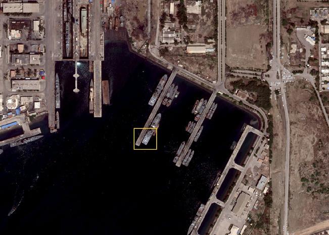
Original resolution refers to the pixel size of the image directly from the satellite. The quality of original resolution data depends directly on satellite altitude and the characteristics of optics (or camera lenses) and sensors.
Referring to synthetic resolution, we mean an image with original resolution that is processed to adjust the pixel size from the original pixel. This process can increase or decrease the size of original pixels using various tools to meet customer requirements.
There are many different approaches to creating synthetic resolution. Simple approaches (e.g., cubic or Lanczos) interpolate original resolution data from one image to create a new pixel, while more complex methods combine different images to create a new image. Sometimes these approaches are also called "super-resolution." Each approach has different levels of quality for the resulting images. Some algorithms use a straightforward approach to add pixels and provide color to a newly created pixel using sampling of surrounding pixels, while other algorithms use a more complex mathematical model to adjust pixel sizes. In most cases, these models are usually not intended for wide use. The visual element shown below conveys a basic understanding of an image with original resolution undergoing processing to create a product with smaller pixel sizes.
When to Use Original or Synthetic Resolution?
Most clients require images with original resolution when they want to run their own algorithms and tools to extract information or have specific use cases that require the original pixel size. For example, more experienced analysts prefer to do their own sharpening and fine-tuning and want their pixels to be as clean as possible.
Users of synthetic pixels seek the best visual quality and do not attempt to run their own raster processing tools. Such clients aim to streamline workflows and prefer more image processing to enhance visual effects to help identify smaller objects on the ground.
However, no matter how small the pixel size, the original resolution of the image will determine the level of information that can be obtained from the final processed image. Data that does not exist in the original resolution image cannot be created on its own.
Maxar Technologies' Approach Using HD Technology
Over the years, Maxar has developed numerous innovations that provide higher quality visual perception. For example, the AComp algorithm enhances visual quality by improving haze and other atmospheric influences on the image, providing a clear view of objects on the ground.
Maxar has developed HD technology specifically for its satellites and ground systems to maximize visual quality with well-defined details. The approach intelligently increases pixel counts using a complex mathematical model tuned to specific image requirements, resulting in superior visual quality compared to algorithms designed for general use across all raster datasets.
Does HD Actually Make Images Better?
Let's compare the initially acquired 30 cm resolution image with its enhanced HD version at 15 cm resolution.
To quantitatively assess the quality of HD technology beyond visual comparisons, Innoter specialists utilized machine learning (ML) algorithms, ensuring unbiased results. We initiated the testing process of HD images compared to their originally collected resolution to determine if this would assist the HD algorithm in identifying more objects in our images. Preliminary results showed that the ML algorithm significantly improves the average accuracy of object detection when run on HD images compared to native resolution.
We also used the GeoHIVE crowdsourcing platform to quantitatively assess the quality of HD. We asked a wide range of users to identify streetlights, looking at both originally collected images and images processed with HD. Users on GeoHIVE had a 50% error rate when using the originally collected images, but after processing the same images with HD, the error rate dropped to 10%.
Start your project with the best foundation
HD is an incredibly powerful algorithm that intelligently increases pixel count. While we do not emphasize novelty, it is important to understand that the originally collected image resolution remains unchanged. Instead, HD delivers maximum quality and value from the highest resolution and most accurate satellite grouping.
Sat-Sun: Non-working days