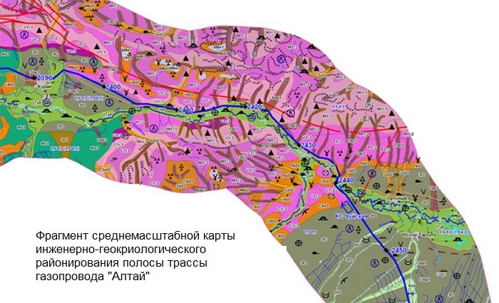
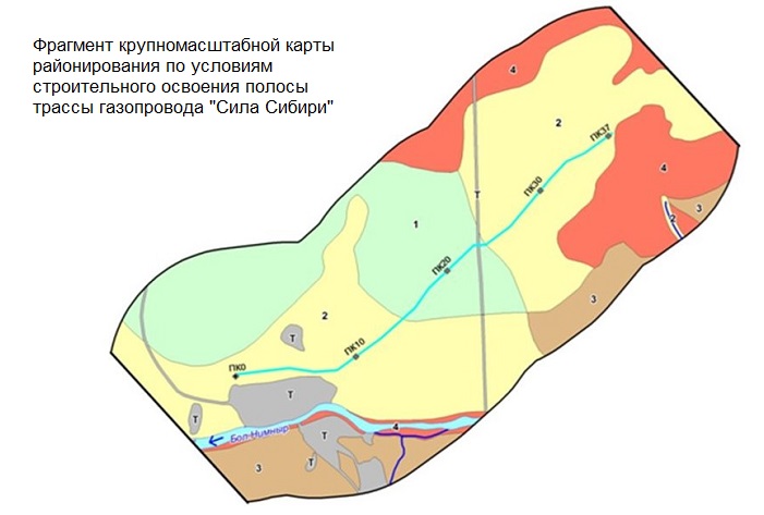
Stages of creating maps of engineering-geological zoning at scales of 1:100000 – 1:200000 and smaller
Principles of Engineering-Geological Zoning
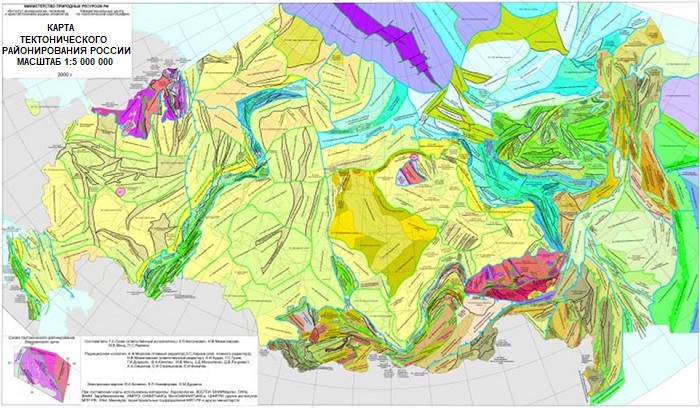
The principles of engineering-geological zoning establish subordinate units: region - area - district - site. Regions are distinguished by structural-tectonic features, including structures of first, second, and subsequent orders, and their large parts. Areas within one region are defined by geomorphological features, and can also be divided into first, second, and subsequent order areas. Covering deposits may consist of complexes of different genesis. A district is a part of an area with uniform structure, consisting of specific lithological and petrographic complexes. Parts of districts, differing in hydrogeological conditions and the presence of ancient and modern anthropogenic processes, are divided into sub-districts and sites.
Zoning should be based on morphological features reflecting the spatial variability of engineering-geomorphological conditions, influenced by the interaction of regional and zonal relief-forming factors.
Within one taxonomic unit, all boundaries of units of the next higher rank should be based on features of the same order. The classification feature may vary from one zoning stage to another. Each group between the identified taxonomic units should be based on a specific classification feature.
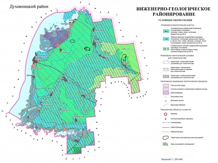
The foundation for compiling engineering-geomorphological zoning maps is the principle of mapping genetically homogeneous surfaces or relief edges. The main mapped objects are individual morphogenetic elements, relief forms.
Usually, the following genetic categories of relief are shown:
- Endogenic – tectonic, volcanic, pseudo-volcanic, structurally-denudation-armor forms of preparation.
- Exogenic – complex-denudation, gravitational, deluvial, fluvial, karst, suffosion, permafrost, glacial, aeolian, lacustrine, marine.
- Anthropogenic – denudation, accumulative.
Smaller-scale engineering-geomorphological taxa are identified by mapping forms and elements of relief of different genesis, indicating the nature of manifestation and intensity of modern exogenous processes. These taxa can serve as the basis for identifying districts in hydrogeological and engineering-geological zoning. Groups of genetically homogeneous relief forms are distinguished, for example, structurally-denudation, gravitational, fluvial, glacial, karst, anthropogenic, etc.
The degree of territory differentiation in zoning is related to the nature of its study, the complexity of engineering-geological conditions, and the scale of research. During small- and medium-scale studies (1:100,000 and smaller), all taxonomic units up to engineering-geological districts are distinguished; on zoning diagrams at scales of 1:50,000 – 1:25,000, it is usually possible to identify areas, districts, sub-districts, and on large-scale diagrams (1:10,000 and larger) – districts, sub-districts, and most importantly – sites.
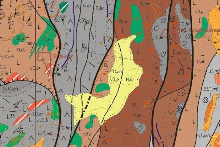
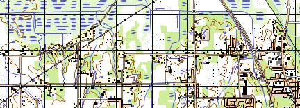
Fig. Fragment of a geological map at a scale of 1:200,000