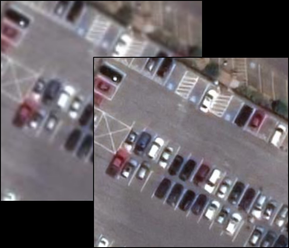
Maxar is a leader in the satellite imagery market, distinguished by its precise satellite constellation in orbit offering the highest resolution (30 cm). Enhancements like HD technology further improve their high-quality image products. HD technology, a patented innovation owned by Maxar, enhances visual clarity by refining edges and reconstructing details, reducing visual clutter and pixelation that can distract or complicate interpretation by both human eyes and computer vision algorithms.

After applying HD technology, a 30 cm HD image (on the right) is produced from initial 50 cm resolution imagery (on the left). HD imaging provides enhanced clarity, aiding clients in identifying finer details and making more informed decisions. The 30 cm HD does not replace the originally acquired 30 cm images but provides an additional way to derive quality and utility from them.
HD technology is available as an upgrade to major image products (View-Ready and Map-Ready Imagery), foundational image mosaics (Vivid, Metro, and Dynamic), and in SecureWatch.
When business solutions require detecting small features on the ground, improved visual perception is crucial. HD technology effectively increases pixel count and enhances smaller ground details. Clearer visualization allows for more efficient and timely decision-making based on satellite imagery, saving money and time on subsequent field visits.
Advantages of HD Technology
HD can be applied to imagery across the entire Maxar satellite constellation, resulting in 30 cm HD images derived from original 50 cm satellite imagery and an unprecedented 15 cm HD product from their own 30 cm imagery. HD technology ensures:
- Faster project deliveries by utilizing the full Maxar constellation, providing more than one option to meet 30 cm pixel size requirements.
- Expanded inventory of 30 cm imagery by processing an additional 1.6 million square kilometers of 50 cm imagery to HD each day.
- Enhanced clarity for machine learning algorithms to extract more meaningful information.
Application of HD Technology
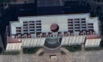
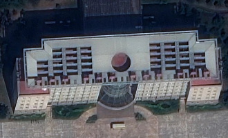
The image below of Xiadiancun, China, was captured at a native 30 cm resolution — the highest spatial resolution available from commercially orbiting satellites. Explore this image closely; observe the building facades, window frames, or metal structure above the entrance.
If you are interested in more information, send your inquiries to email: innoter@innoter.com.


