Until the end of the year buying space images photogrammetric processing (orthophototransformation of digital image: by RPC coefficients and public matrix ALOS with grid spacing of 30 meters, with color correction of the resulting image, in a given coordinate system) as a gift*!!!
There is also a special offer for the creation of Digital Terrain Models and Digital Surface Models – prices are reduced by HALF**

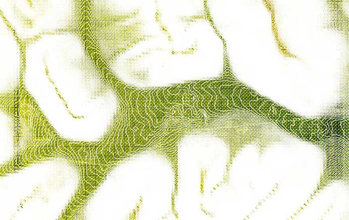
Example of digital terrain model (DTM), Magadan region
To order satellite images and calculate the cost of covering the territory you need, please call: +7 495 245-0424 or e-mail: innoter@innoter.com.
* The area of the order of space survey less then 1 000 sq. km. At the order over 1 000 sq. km – 50 RUB/sq. km
** The area of creation of DTM and DSM is not more than 10 000 sq. km.
