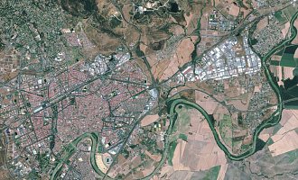
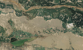
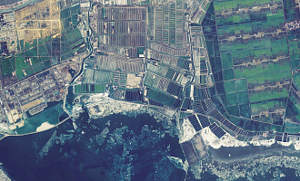
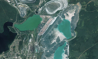
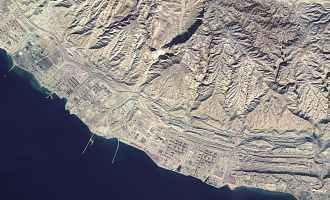
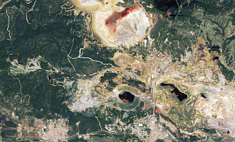
As it was announced by the press office of Roscosmos, the Russian outer space apparatus for Earth remote sensing Kanopus-V (a.k.a Canopus-B) №3, 4 launched on 1st February of 2018 had been successfully flight-tested.
Canopus-V serves on the orbital network for Earth remote sensing of the Russian Federal Space Agency Roscosmos. The complex is used to obtain multi-zonal images of the Earth’s surface in the interests of providing information to the entities of Roscosmos, the Ministry of Emergencies, the Ministry of Natural Resources, the Federal Service for Hydrometeorology and Environmental Monitoring, the Russian Academy of Sciences, as well as other departments and commercial consumers.
"Canopus" high resolution satellites is designed to monitor technological and natural emergency situations based on the results of operational observations of the Earth's surface, to detect forest fire outbreaks, major pollutant releases into the natural environment, to monitor hydro-meteorological phenomena, to update of topographic maps and monitor global and small-scale changes of forest and land cover.
For cost calculation of the Canopus-V imagery for your area of interest, send technical description of your proposal to: innoter@innoter.com. For consultations contact by the phone: +7 495 245-04-24

