



Search the site
Products
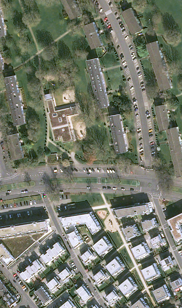
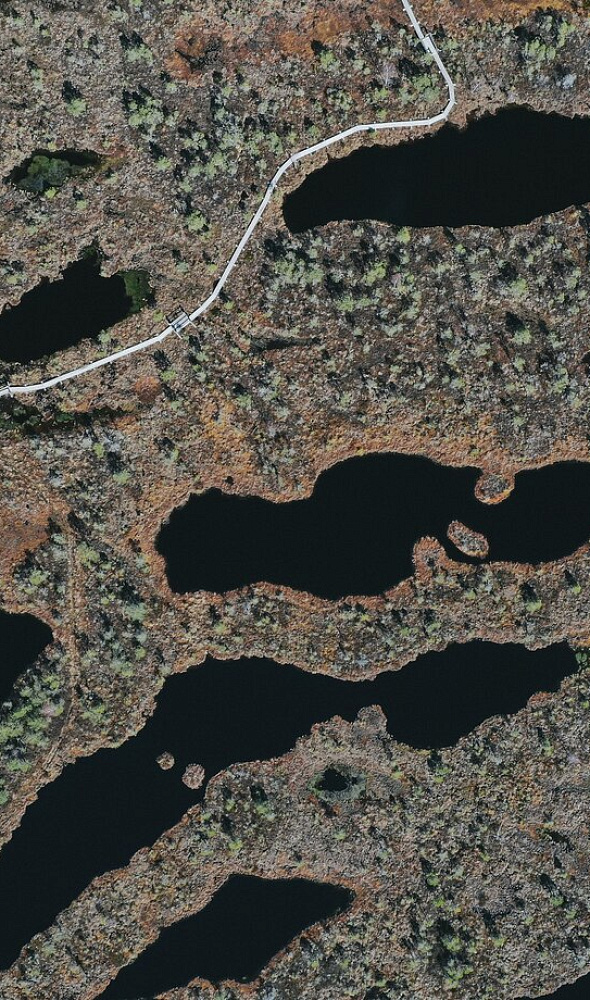
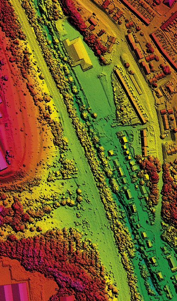
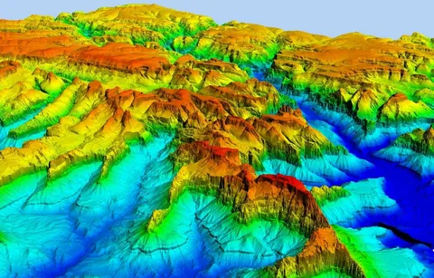
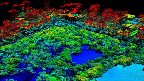
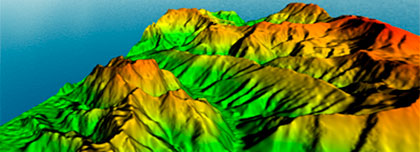
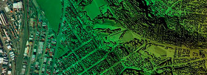
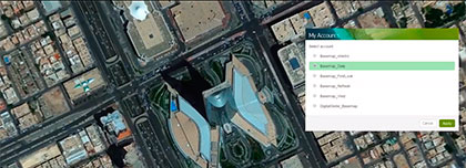
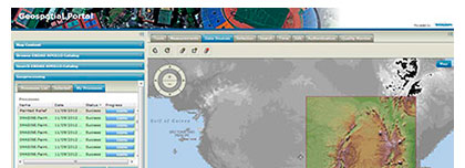
The Innoter company provides the aerospace imagery from remote sensing optoelectronic and radar satellites, aerial survey, survey from unmanned aerial vehicles (UAV), topographic maps and plans, thematic maps, DTMs and DSMs, GIS and geoportals developing, software for data processing, etc.
Innoter products






Need satellite imagery or help choosing the right data?
Describe your task, area of interest, and desired outcome. We will check data
availability, assess new acquisition options, and propose the optimal solution in terms of timelines, cost,
and quality.
Discuss the project
clients who trust us
25+ years in the geodata market






