Contact

Cartographic and interpretation expertise

01

About the project

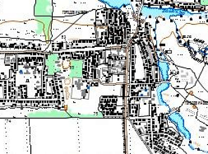
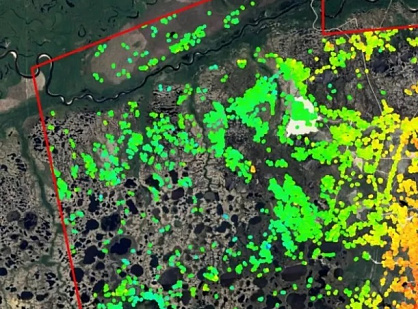
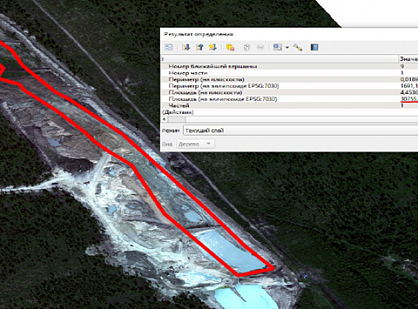
A visual interpretation of space images within the cadastral section was carried out in order to determine the presence of objects and their parts, characteristics.

Industry Forensic expertise
Customer

Department of the Ministry of the Internal Affairs of the Russian Federation

End date 12/29/2017
02

Project goal

A visual interpretation of space images within the cadastral section was carried out in order to determine the presence of objects and their parts, characteristics.

03

Completed works

Previously, the staff of Innoter LLC compiled, received, processed and delivered archived images from the ultra-high resolution QuickBird spacecraft that meet the following technical requirements: color version; spatial resolution 0.5 m; processing level: OrthoReady Standard; UTM projection, ellipsoid, and WGS-84 coordinate system.

At the next stage, visual interpretation of space images within the cadastral section was carried out in order to determine the presence of objects and their parts, characteristics.

At the final stage, an expert opinion was drawn up on the state of the area within the cadastral area.

04

Result

The result of the project was the conclusion of the deciphering-cartographic examination, which was transferred to the customer.

Need satellite imagery or help choosing the right data?

Describe your task, area of interest, and desired outcome. We will check data availability, assess new acquisition options, and propose the optimal solution in terms of timelines, cost, and quality.
clients who trust us
25+ years in the geodata market
Request a call back
Back to page top
Мы используем Яндекс.Метрика и собственные Сookies для обеспечения наилучшего опыта работы на нашем сайте, персонализации сайта для наших пользователей и аналитики. Продолжая использовать сайт вы соглашаетесь с условиями Пользовательского соглашения.