Creating orthophotomaps on the territory of the pipeline route
Creating orthophotomaps on the territory of the pipeline route
01
About the project
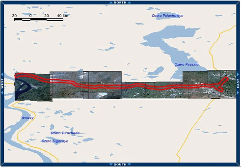
Creation of orthophotomaps using remote sensing data on the territory of the pipeline route with a total area of 320 sq. km., located in the Krasnoyarsk Territory.
Industry
Oil and gas
Customer
Express Geo LLC
End date
09/30/2016
02
Project goal
Creation of orthophotomaps using remote sensing data on the territory of the pipeline route with a total area of 320 sq. km., located in the Krasnoyarsk Territory.
03
Completed works
Digital information was viewed, compiled and processed from the WorldView-2, WorldView-3, GeoEye-1 spacecraft with a spatial resolution of 0.5 m at the nadir. Archive images were selected in compliance with the required shooting mode - a set of images - a panchromatic channel and 4 multispectral ranges (RGB + NIR). Projection - UTM, ellipsoid and WGS84 coordinate system.
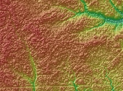
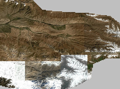
Then, based on the data obtained, orthophotomaps were created in accordance with the requirements of the technical specifications. Orthorectification of space imagery was performed in the UTM, WGS-84 projection using RPC coefficients and the SRTM-90 public digital elevation model. The finished orthophotomap was provided with a single array (without cutting) with a bit width of 8 bits in natural colors (RGB).
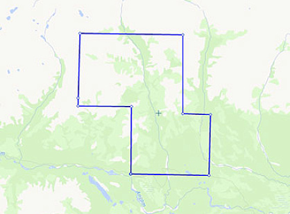
Area coverage scheme, Krasnoyarsk Krai, Russia, area: 320 km2
Схема покрытия территории, Красноярский край, РоссияПлощадь: 320 км2
04
Result
As a result of fulfilling its obligations under the contract, Innoter LLC provided the customer with the necessary data of remote sensing data, as well as orthophotomaps with a given accuracy to the territory of the pipeline route.
Need satellite imagery or help choosing the right data?
Describe your task, area of interest, and desired outcome. We will check data
availability, assess new acquisition options, and propose the optimal solution in terms of timelines, cost,
and quality.
Fast feedback during business hours
We will select the best data for your task
Confidentiality guaranteed
Discuss the project
clients who trust us
25+ years in the geodata market
Мы используем Яндекс.Метрика и собственные Сookies для обеспечения наилучшего
опыта работы на нашем сайте, персонализации сайта для наших пользователей и аналитики.
Продолжая использовать сайт вы соглашаетесь с условиями
Пользовательского соглашения.
Request a call
Leave your contact details — we will get back to you during business hours, clarify the task and suggest suitable data or services.
Write to e-mail
Send a message, technical specification or task description. We will review your request and reply to the specified e-mail.
Fill in the order form
Describe the area, object and imagery requirements. We will check archive availability, the possibility of a new acquisition and offer a suitable option.