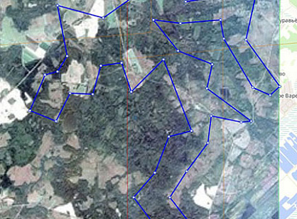
A new survey with the WorldView-2, WorldView-3, WorldView-4 and GeoEye-1 spacecraft was ordered for the areas specified by the customer with a total area of 7,402 km².
At the same time, the requirements of the customer to the characteristics of the space survey set forth in the terms of reference were strictly observed:
-
Completeness: natural color image with a resolution of 0.5 meters;
-
Processing Level: Ortho Ready Standard;
-
The maximum allowable percentage of cloudiness in the area of interest is 15%;
-
Shooting angle from nadir – up to 30°;
-
UTM projection, ellipsoid and WGS84 coordinate system.
After that, basing on the obtained data, orthophotomaps were created. At the same time, the planned accuracy of the orthophotomap on the territory provided by the planned high-altitude points and the matrix of heights with the required accuracy was RMS = 1.5 meters. The plan-altitude points and the matrix of heights provided the customer.
The creation of orthophotomaps was carried out in the local coordinate system using transition keys, also provided by the customer.
The finished orthophotomaps were delivered with a bit width of 8 bits in natural colors, with orthophotomap cutting into fragments of no more than 500 MB.
According to the results of photogrammetric works, a report was made in electronic form and on paper.