Sat-Sun: Non-working days
Customer
Large international telecommunication company
Project's objective
Creation of digital surface models (DSM) for the territory of the Samara region with a total area of 54,250 sq. km, as well as more accurate DSM for 10 cities in the above-mentioned region. DSM was created for the customer to solve problems of assessing the terrain, orienting on the terrain, performing design and exploration work, ensuring the construction and reconstruction of infrastructure networks, determining the coordinates of objects, calculating routes, calculating radio network covers, displaying network elements, and solving other tasks in the interests the company.
Creation of a digital vector map base in the format of the GIS “MapInfo” and / or the GIS “NEVA” together with a single classifier of objects.
Work description
The creation of the DSM is carried out, as a rule, based on aerial, ground-based photography and space imagery, remote sensing data from both foreign spacecraft and Russian civilian vehicles, as well as compiling them from cartographic materials. Additionally, catalogs of coordinates and heights of geodetic points and points of the survey network are used; special maps and plans of departmental organizations; reference materials.
According to the technical task, the customer required several types of DSM, namely:
-
City Model of the 2nd level of accuracy (CM-2) – manufactured for cities and settlements, regional centers; cities with a low level of construction; certain territories of large cities with low population density and suburbs;
-
Regional Model of the 3rd level of accuracy (RM-3) – manufactured for the central regions with high density of population and buildings; regions with actively developing infrastructure.
At the preparatory stage of work, the staff of Innoter LLC selected all the necessary materials to produce DSM, including satellite images of super high and high resolution from WorldView-2, WorldView-3, GeoEye, TripleSat, Kompsat-3, Pleiades satellites – to create accurate DSM (GM-2); Landsat-8 – to create a DSM (RM-3).

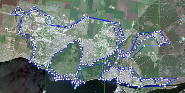
Coverage scheme of Tolyatti
The first step was the creation of orthophotomaps on the areas of work, considering all the requirements for this type of work.

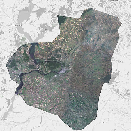
General orthophotomap on the Samara oblast
The next step was the creation of DSM, satisfying the following basic requirements:
-
reliably and with the appropriate DSM accuracy to display the state of the terrain, its characteristic features;
-
Comply with the current state of the area and the relevance of a DSM declared in a specific order, which is agreed with the Customer when ordering a specific DSM;
-
ensure the completeness of the object composition in accordance with these requirements;
-
provide a definition with the appropriate DSM accuracy of three-dimensional coordinates;
-
elements of the content of a DSM should use a single object classifier, which should be supplied with the DSM.

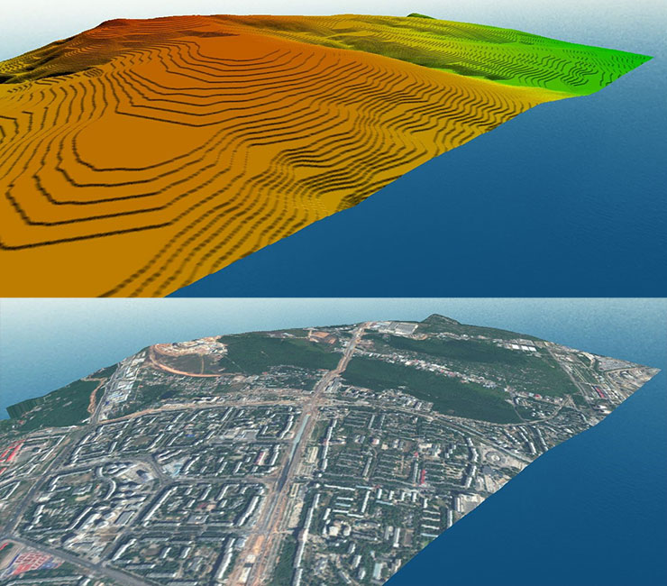
An example of combining the DTM and satellite imagery in the area of work.

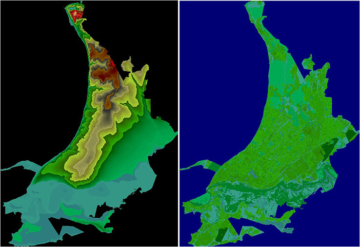
General view of the DTM (left) and DSM (right) on the city of Samara
At the final stage, DSMs were converted to the formats required by the customer. DSM has been adapted to the format of the radio network planning system and the mobile telephone network planning system of the required standard. A digital vector base map was created in the GIS “MapInfo” format together with a single object classifier.
Results
The final set of delivery included: orthorectified images on the territory of interest, digital surface models converted to the formats needed by the customer, digital vector map in the GIS “MapInfo” format. The obtained geo-information products allowed the customer to perform all the tasks before him on the analysis and assessment of the terrain in order to plan the design and survey works.
Need for consultation?
Fill the form and we will contact you
