01
About the project
| Industry | Land use and territory management, Mapping |
|---|---|
| Customer | Confidential |
| End date | 08/01/2022 |
| Industry | Land use and territory management, Mapping |
|---|---|
| Customer | Confidential |
| End date | 08/01/2022 |
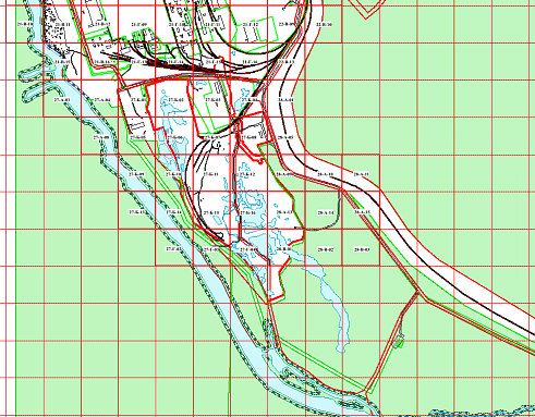
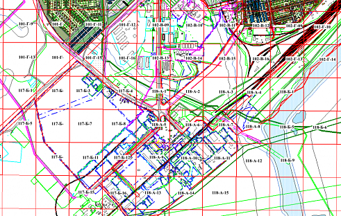
762 digital map sheets in the local coordinate system (USK-89), prepared in AutoCAD;
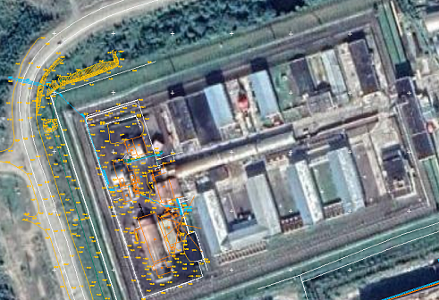
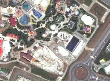
117 digital raster images with georeferencing files, prepared in MapInfo;
50 digital layers prepared in MapInfo;
Transformation parameters from USK-89 to MSK-89 (Zone 2).
Based on the provided parameters for the transition from USK-89 to MSC-89, the coordinates were recalculated in MapInfo.
As a result of the services provided, the following materials were delivered to the Client:
117 digital raster images with georeferencing files prepared in MapInfo (a set of DAT, ID, IND, MAP, and TAB files for each layer);
50 digital layers prepared in MapInfo (a set of DAT, ID, IND, MAP, and TAB files for each layer);
The key factors behind the successful completion of projects of this kind are GEO INNOTER LLC’s proprietary methodology and the professionalism of our specialists.