Aist-2D
- Satellite type:
- Optoelectronic
- Spatial resolution:
- High (from 1 m to 2.5 m)
- Country:
- Russia
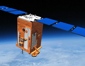
Aist-2D

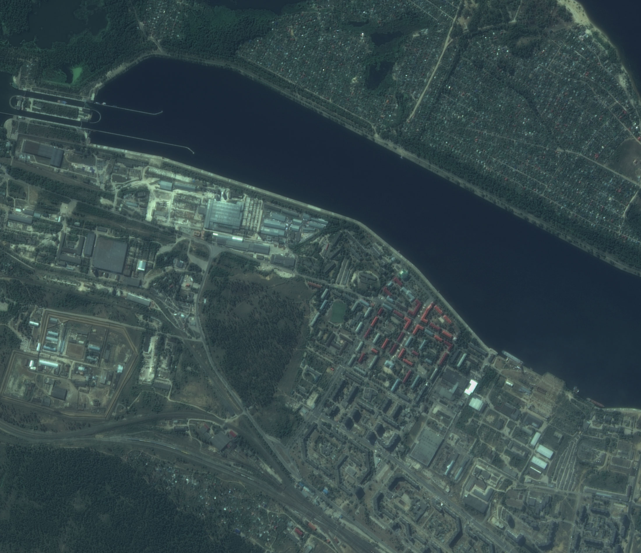
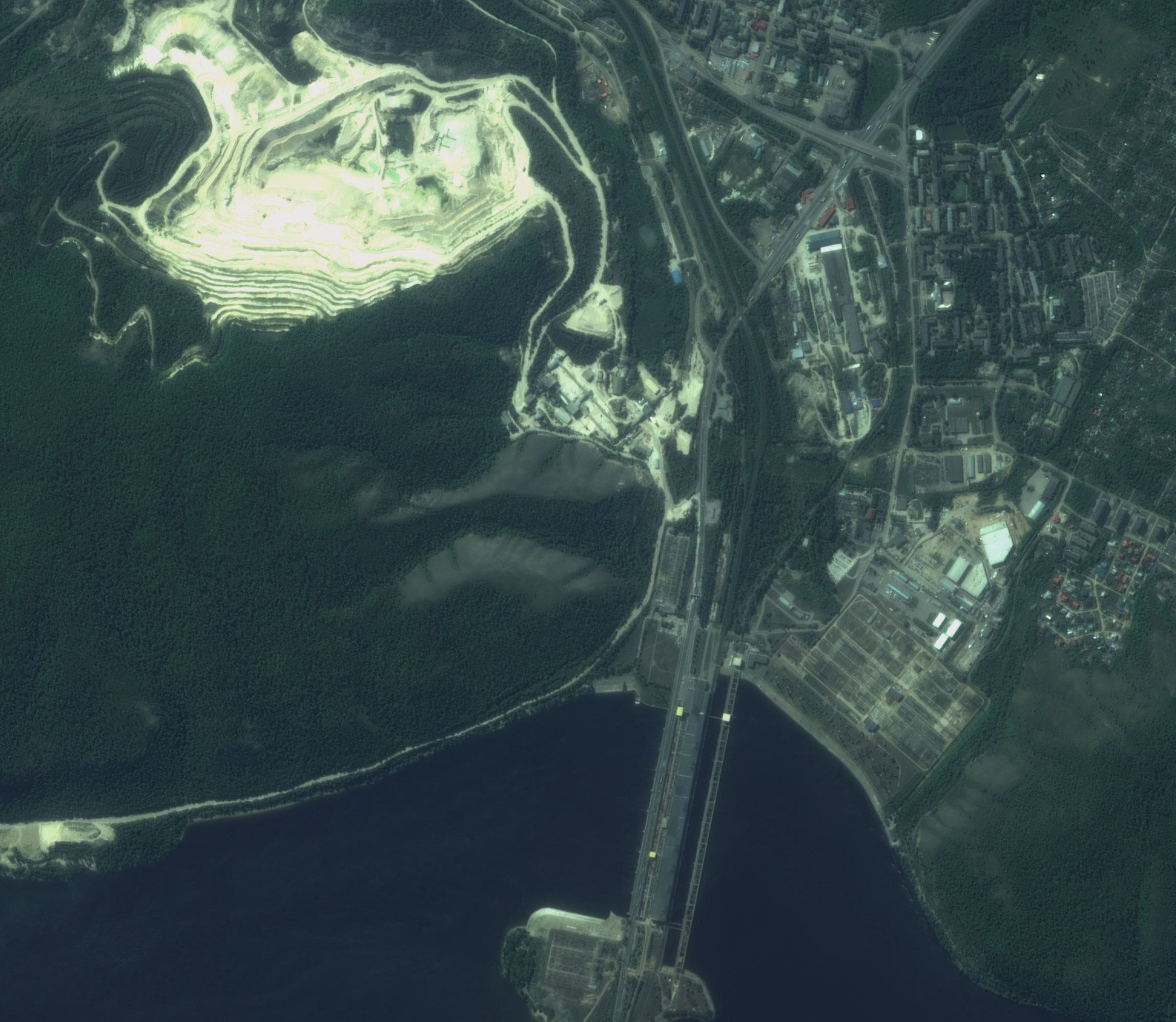
Technical characteristics of the spacecraft imaging systemAist-2D
Characteristics of the space satellite
| Operating country | Russia |
|---|
Fill out the order form
Detailed description
The satellite payload includes the “Aurora” optoelectronic equipment, the infrared optoelectronic system and the “BiRLK” experimental radar (SAR) of P-band (jointly developed by the RSC Progress and the Volga State University of Telecommunications and Informatics) and scientific equipment developed by specialists SSAU.
Spacecraft design and mission details
|
Name |
Aist-2D |
|---|---|
|
Country |
Russia |
|
Developer |
RSC Progress and Samara State Aerospace University (SSAU) |
|
Operator |
RSC Progress |
|
Launch vehicle |
Soyuz-2.1a/Volga |
|
Launch date |
28 April 2016 |
|
Launch site |
Vostochny Cosmodrome |
|
Date of deactivation |
- |
|
Orbit: Type |
Sun-synchronous |
|
Mission duration, years |
3 |
|
Image transmission, Mbit/s |
150 |
|
Mass, kg |
531 |
Specifications
|
Scanning mode |
Panchromatic |
Multispectral |
Infrared |
|---|---|---|---|
|
Spatial resolution (at nadir), m |
1,48 |
4,4 |
122,5 |
|
Swath width, km |
39,7 |
39,7 |
47 |
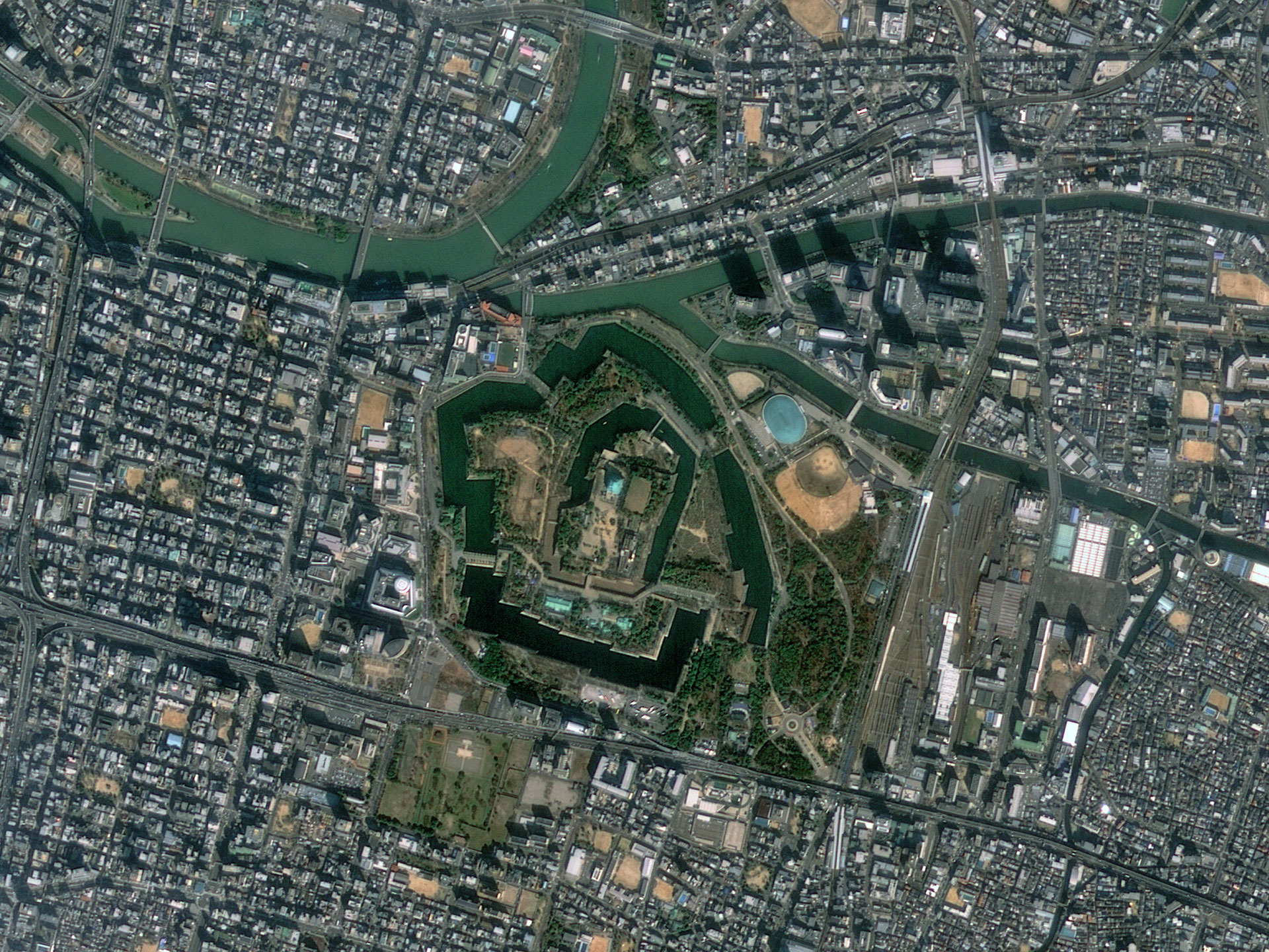
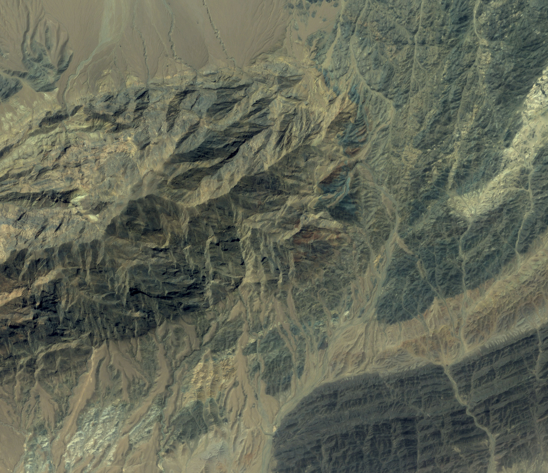
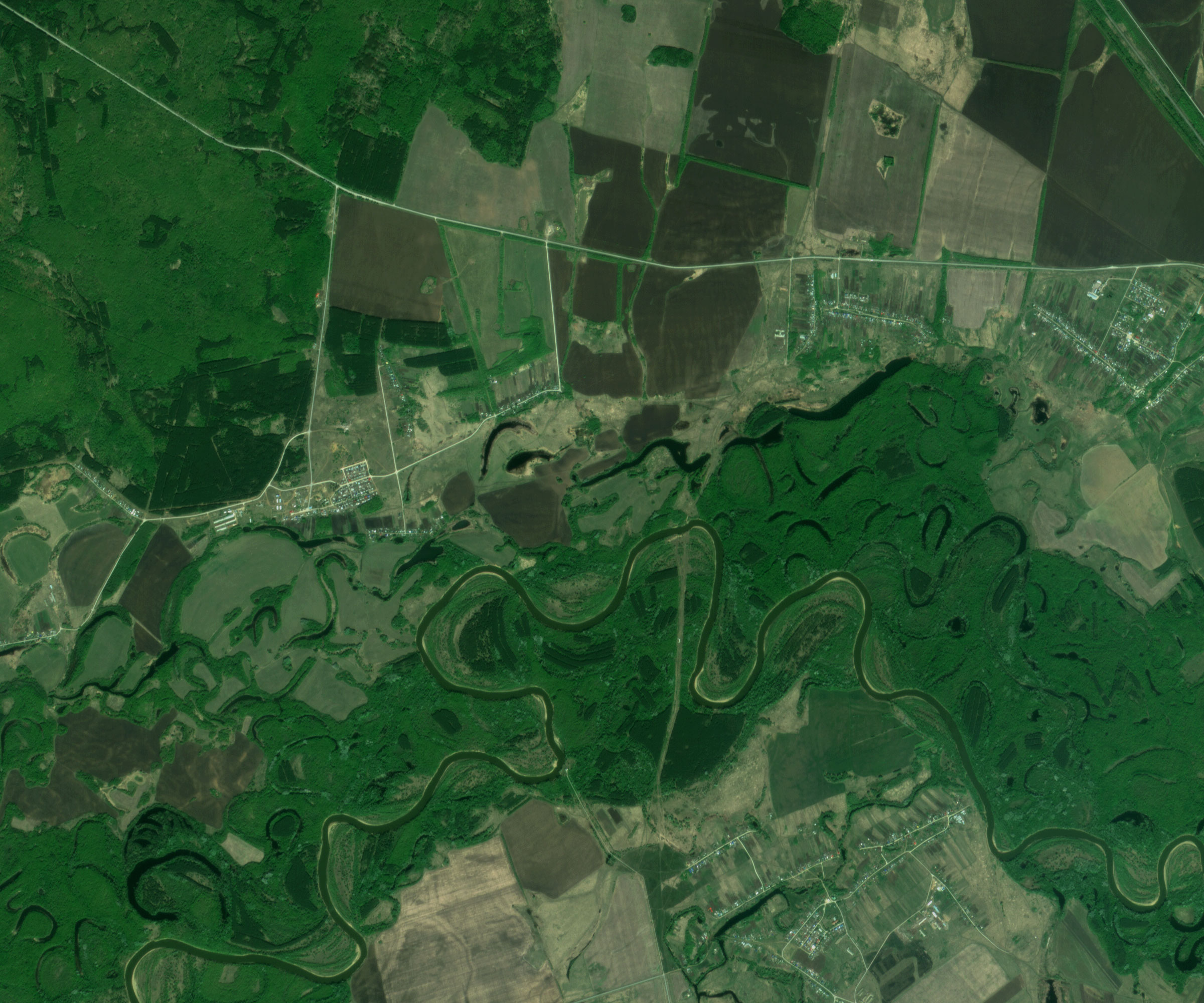
Applications:
- creating and updating topographic maps and plans of 1: 50 000 scale;
- solving a wide range of tasks in cartography;
- monitoring of agriculture, forestry and fisheries;
- production of crop forecasts and productivity maps;
- monitoring of emergency situations, hydrology;
- detection of contaminated areas, fires, etc.
- conducting research in various fields.
For cost calculation of the Aist-2D imagery for your area of interest, send technical description of your proposal to: innoter@innoter.com. For consultations contact by the phone: +7 495 245-04-24