WorldView-1, launched on the 18th of September 2007, is the first of DigitalGlobe’s next-generation satellites – the most agile satellites ever flown commercially. The high capacity, panchromatic imaging system features half-meter resolution imagery. Alongside with DigitalGlobe, such companies as Ball Aerospace, Eastman Kodak, ITT Industries and BAE systems took part in the WorldView-1’s development.
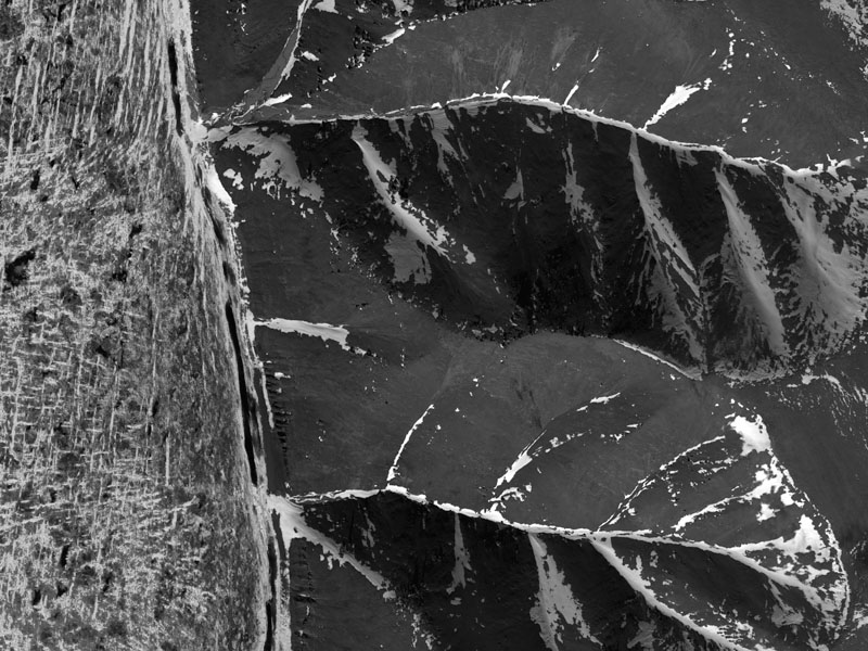
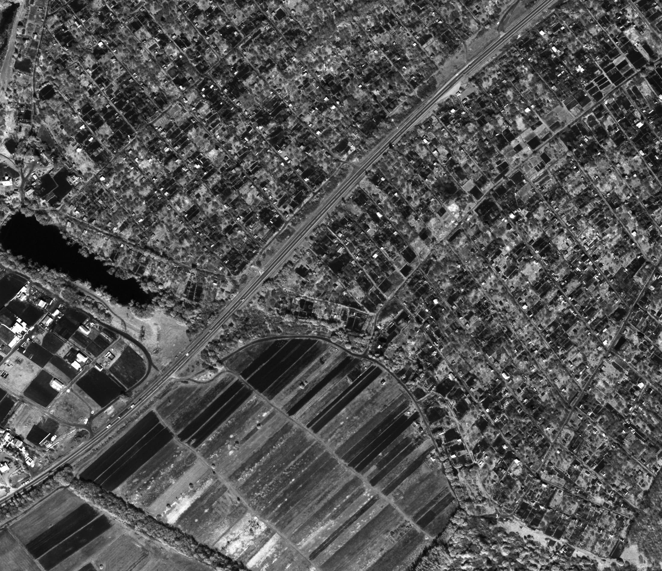
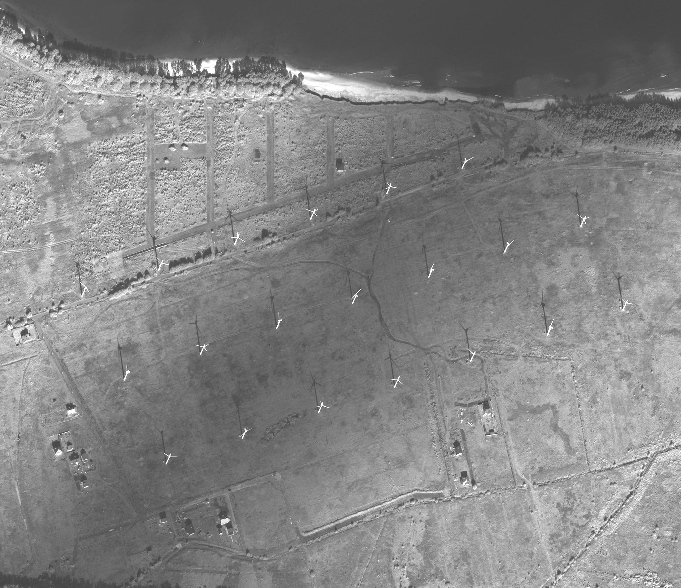
Worldview satellite imagery
Spacecraft design and mission details
|
Name |
WorldView-1 |
|---|---|
|
Country |
USA |
|
Developer |
Ball Aerospace, ITT Industries, Eastman Kodak, BAE systems, DigitalGlobe |
|
Operator |
DigitalGlobe |
|
Launch vehicle |
Delta II |
|
Launch date |
18 September 2007 |
|
Launch site |
Vandenberg Air Force Base, California |
|
Date of deactivation |
- |
|
Orbit: Type |
Sun-synchronous |
|
Mission duration, years |
Planned: 7,25 years |
|
Revisit frequency, days |
1 – 3 |
|
Spacecraft dimensions, m |
3,6 × 2,5 |
|
Power, W |
3200 |
|
Mass, kg |
2500 |
Specifications
| Sensor bands | Panchromatic: 400–900 nm |
|---|---|
| Dynamic range, bits per pixel |
11 |
| Sensor resolution, m |
50 cm Ground Sample Distance (GSD) at nadir 55 cm GSD at 20° off-nadir |
| Swath width, km | 17,7 |
| Attitude determination and control |
Type: 3-axis Stabilized Actuators: Control Moment Gyros (CMGs) Sensors: Star trackers, precision IRU, GPS |
| Horizontal accuracy (CE90%) | Demonstrated <4,0 m (without ground control) |
| Retargeting agility | Time to Slew 200 km: 10 sec |
| Onboard storage | 2199 Gb solid state with EDAC |
Collection scenarios:
- Long strip: 360 × 17,7 km
- Large Area Collect: 112 × 111 km
- Multiple Point Targets: 17,7 × 17,7 km
- Stereo Area Collect: 112 × 51 km
Products
Basic – Basic products are designed for customers with advanced image processing capabilities. These imagery products, when combined with supplied attitude, ephemeris, and camera model information, are suitable for advanced photogrammetric processing (for example, orthorectification). Each unique image in a Basic Product is processed individually; seamlines will be visible in products requiring multiple images to cover the area of interest.Standard – Standard Imagery products are suitable for users requiring modest absolute accuracy and/or large area coverage. Users of Standard Imagery products usually possess enough image processing tools and knowledge to manipulate and exploit the imagery for a wide variety of applications.
Orthorectified – Ortho Ready Standard Stereo Imagery products are suitable for customers with a high level of image expertise and software that is capable of ingesting, processing and/or displaying stereo imagery. They are typically used to create Digital Elevation Models (DEMs) or for 3D feature extraction. Customers ordering stereo products who require a small area of interest (AOI) should order the Ortho Ready Standard Stereo Product while customers requiring large area coverage should opt for the Basic Stereo Product.
Basic Stereo Pair – Basic Stereo Pair Imagery products are suitable for customers with a high level of image expertise and who have software that is capable of ingesting, processing, and/or displaying stereo imagery. Basic Stereo Pair Imagery products are typically used to create Digital Elevation Models (DEMs) or for three-dimensional feature extraction. Basic Stereo Pair Imagery products are comprised of one or more pairs of Basic Images with 100% overlap over the customer’s Area of Interest (AOI). Stereo mates are collected on the same satellite orbit and with specific look angles in order to attain imagery appropriate for stereo viewing.
| Product | Basic | Standard | Orthorectified | Basic Stereo |
|---|---|---|---|---|
| Radiometric correction | Yes | Yes | Yes | Yes |
| Geometric correction | Yes | Yes | Yes | Yes |
| Georeferencing | Yes | Yes | - | - |
| Orthorectification | - | - | Yes | - |
|
Horizontal accuracy (CE90%), m |
6,5 | 6,5 |
1:50000-25,4 |
6,5 |
|
Vertical accuracy (LE90%), m |
- | - | - |
6,5 |
| Spectral bands | Panchromatic | |||
| Minimum order size, km2 | 230 |
Archive data – 25 New survey – 64 |
100 |
210 |
| Maximum order size, km2 | 10000 | |||
| Delivery formats | GeoTIFF 1.0, NITF 2.1 or NITF2.0 | |||
Applications:
- Creation and update of maps and plans;
- Creation of DTMs;
- Engineering survey for construction works of oil and gas facilities;
- Inventory of forests and forest management;
- Monitoring of the crops’ state, yield forecasting;
- Creation of maps for urban planning purposes;
- Emergency monitoring;
- Researches.