BS (“Belorussian Spacecraft”, a.k.a BKA) constructively and with technical characteristics almost completely repeats the Russian Kanopus-V satellite. The Kanopus-V and BS satellites form a single grouping and operate under a coordinated program. The BS is intended primarily for the provision of real-time remote sensing data for the state order of Belarus. Archive images are available for a commercial order, as well as a new survey, since the life of the spacecraft was extended until the end of 2020.
The BS was developed at VNIIEM Corporation by an agreement between the National Academy of Sciences of Belarus and the Federal Space Agency of the Russian Federation. The satellite was launched on July 22, 2012 from the Baikonur cosmodrome using a Soyuz-FG rocket simultaneously with the Russian satellite Kanopus-V. The satellites are in the same orbit at opposite points (at an angular distance of 180 ° from the arc).
Types of commercial products: radiometric, sensory and geometric correction. Reduction to the map projection.
Spacecraft design and mission details
| Name | BS |
|---|---|
| Country | Belarus |
| Developer | VNIIEM Corporation (Russia) |
| Operator | Unitary Enterprise "Geoinformation Systems" |
| Launch vehicle | Soyuz-FG |
| Launch date | 22 July 2012 |
| Launch site | Baikonur Cosmodrome |
| Date of deactivation | - |
|
Orbit:Type Altitude, km Inclination, deg. |
Sun-synchronous 510 97,4 |
| Mission duration, years | 8 |
| Revisit frequency, days | 5 |
| Mass, kg | 465 |
Specifications
| Sensor bands |
PAN: 0,53 – 0,93 µm Blue: 0,45 – 0,52 µm Green: 0,51 – 0,60 µm Red: 0,63 – 0,70 µm Near-IR: 0,76 – 0,85 µm |
|---|---|
| Dynamic range, bits per pixel | 10 |
| Sensor resolution (at nadir), m |
PAN: 2,1 MS: 10,5 |
| Swath width, km | 23 (PAN), 40 (MS) |
Types of commercial products: radiometric, sensory and geometric correction. Reduction to the map projection.
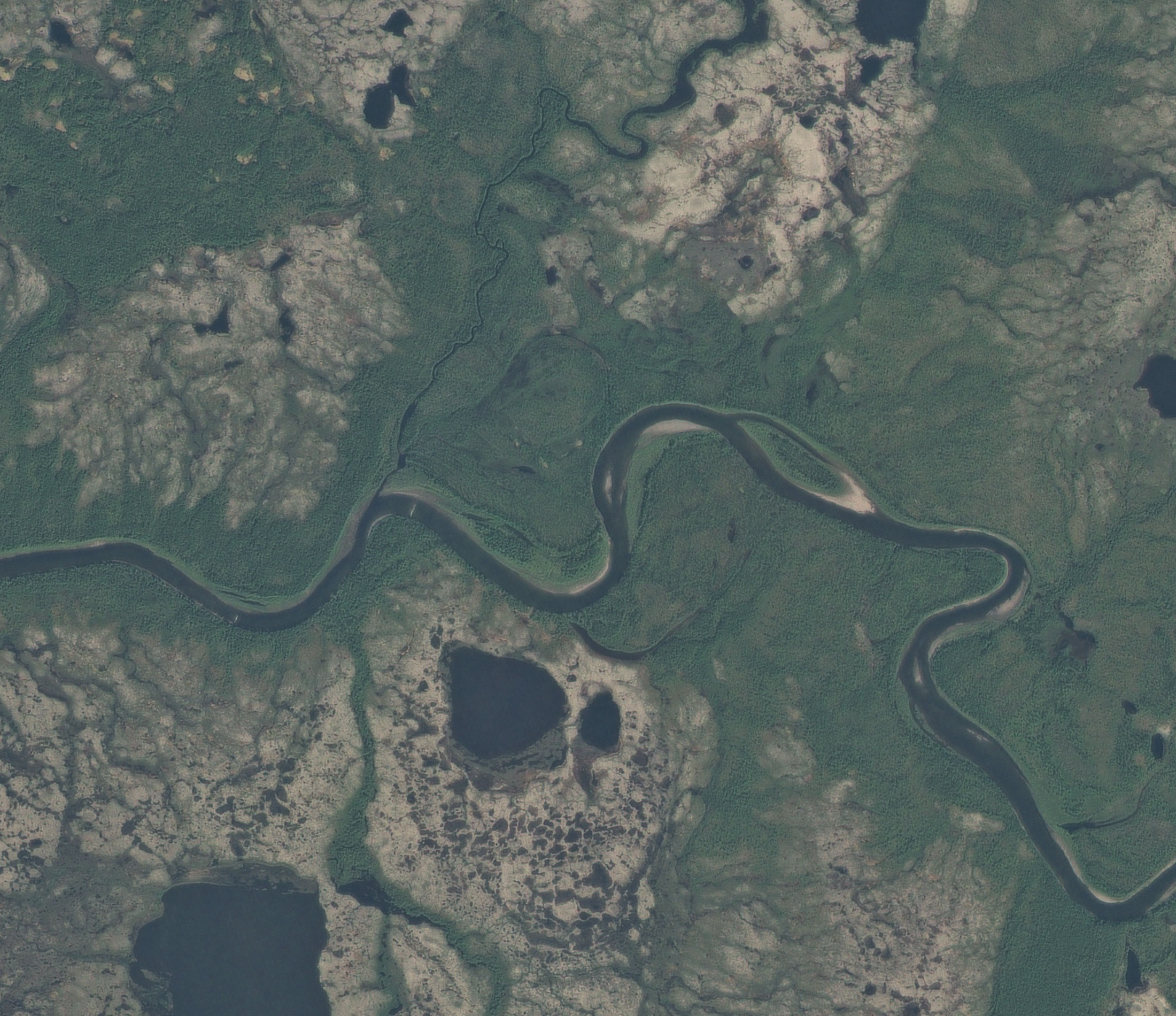
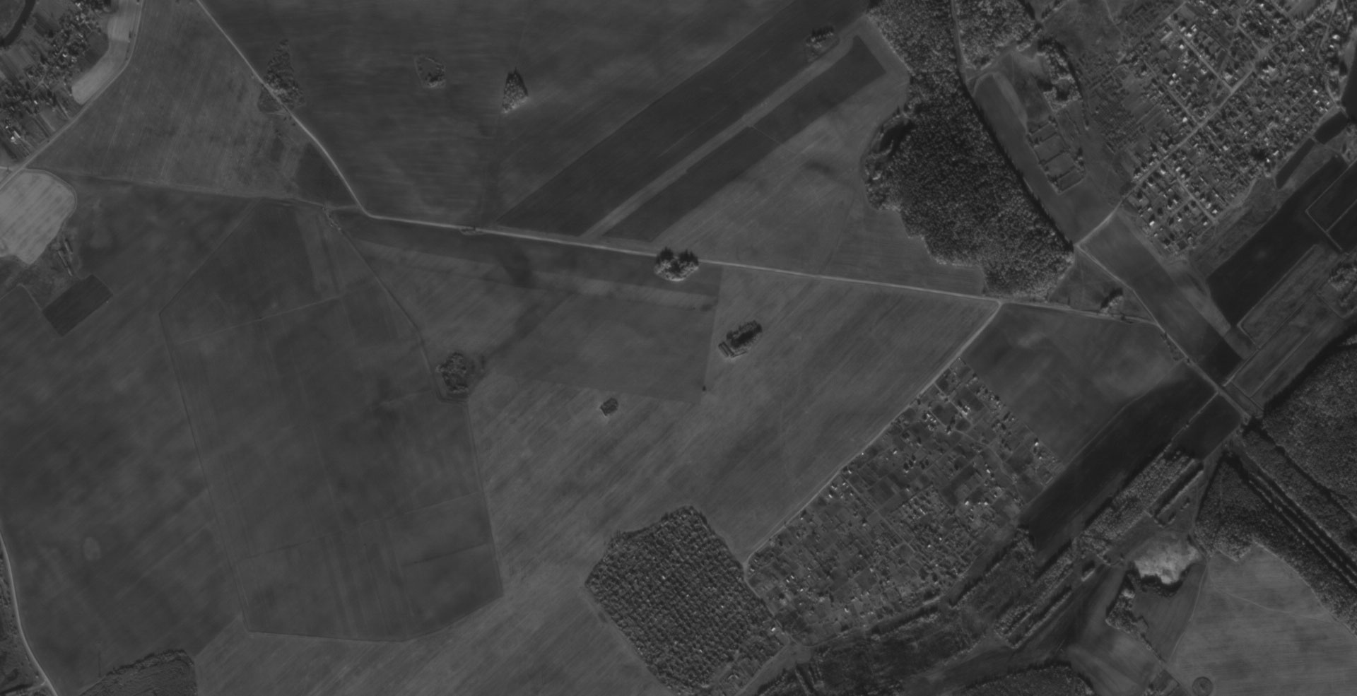
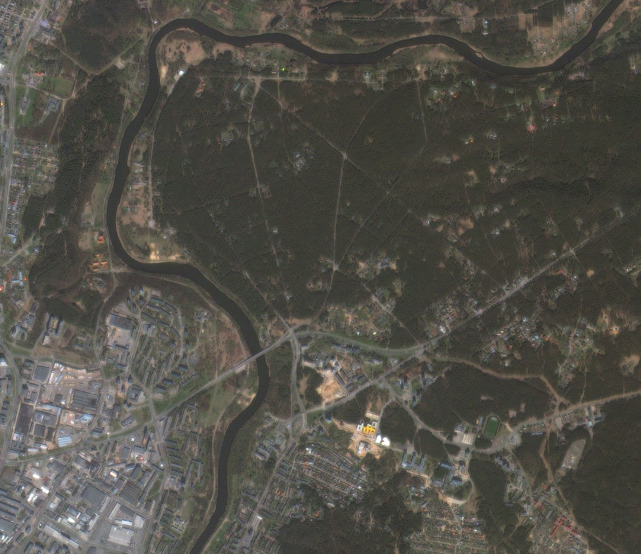
Applications:
-
creating and updating topographic and navigation maps of 1:25 000 - 1: 100 000 scale;
-
control over land use and agricultural production;
-
monitoring of land reclamation facilities;
-
monitoring changes in the forest fund, performing forest management works, automated inventory, control of reforestation works;
-
inventory and control of the construction of infrastructure, mining;
-
environmental control of the environment.
For cost calculation of the BS imagery for your area of interest, send technical description of your proposal to: innoter@innoter.com. For consultations contact by the phone: +7 495 245-04-24