
Spacecraft design and mission details
|
Name |
Gaofen-3 |
|---|---|
|
Country |
China |
|
Developer |
CAST/BISSE (China’s Academy of Space Technology/Beijing Institute of Spacecraft System Engineering) |
|
Operator |
China Center For Resources Satellite Data and Application |
|
Launch vehicle |
CZ-4C |
|
Launch date |
19 August 2014 |
|
Launch site |
Jiuquan Satellite Launch Center, China |
|
Date of deactivation |
- |
|
Orbit: Type |
Sun-synchronous |
|
Mission duration, years |
8 |
|
Revisit frequency, days |
1,5 – 3 |
|
Mass, kg |
2950 |
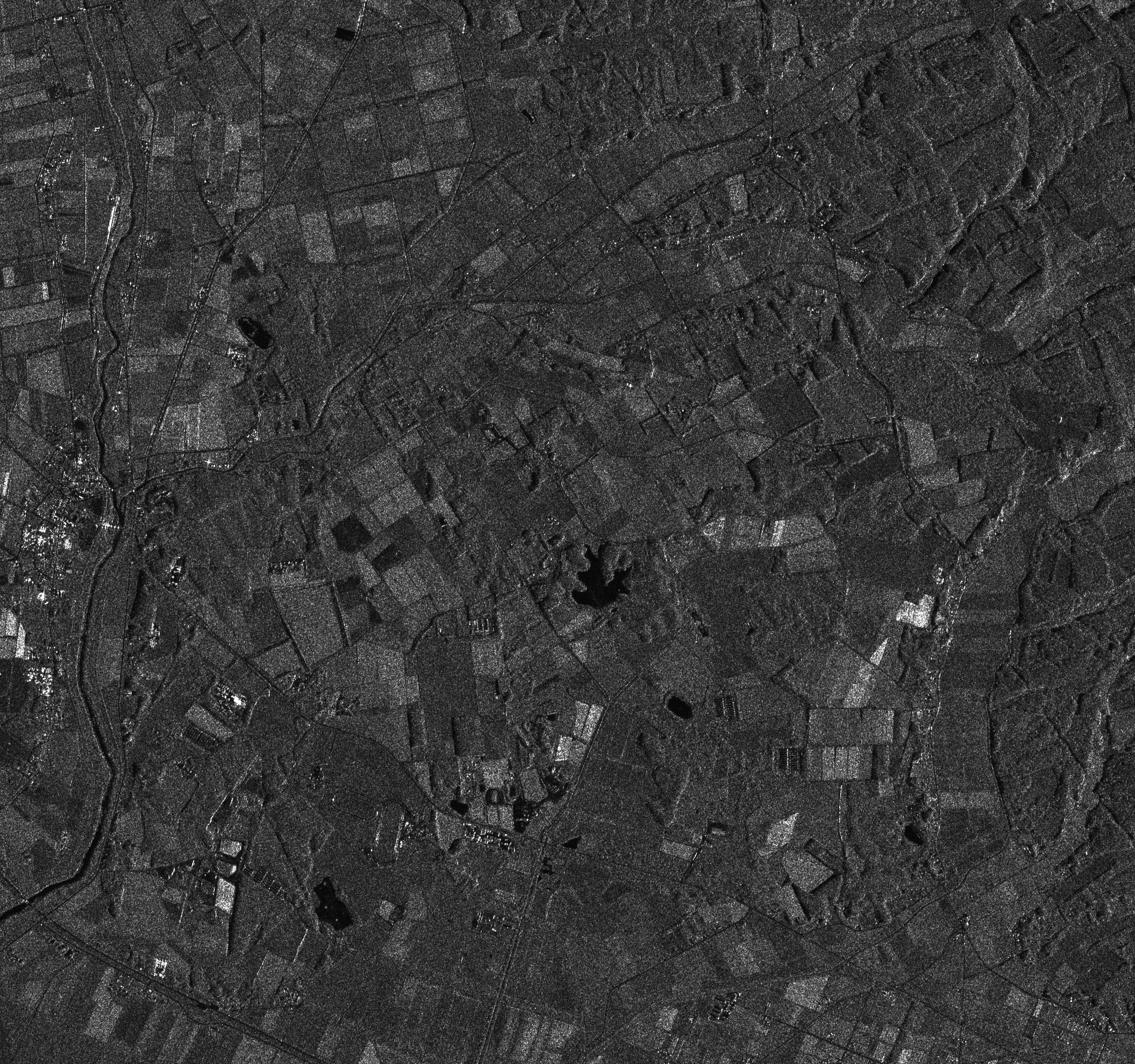
Gaofen-3 is the first Chinese high-resolution SAR satellite to acquire multi-polarized SAR image with resolution of 1-500 meters and cover a total swath of 10-650 kilometers. The satellite provides imaging in 12 different modes. The maximum working duration is 50 minutes.
Applications:
- Emergency management and emergency preventing;
- Climate change monitoring;
- Environmental monitoring;
- Mapping;
- Mining exploration;
- Agricultural management.