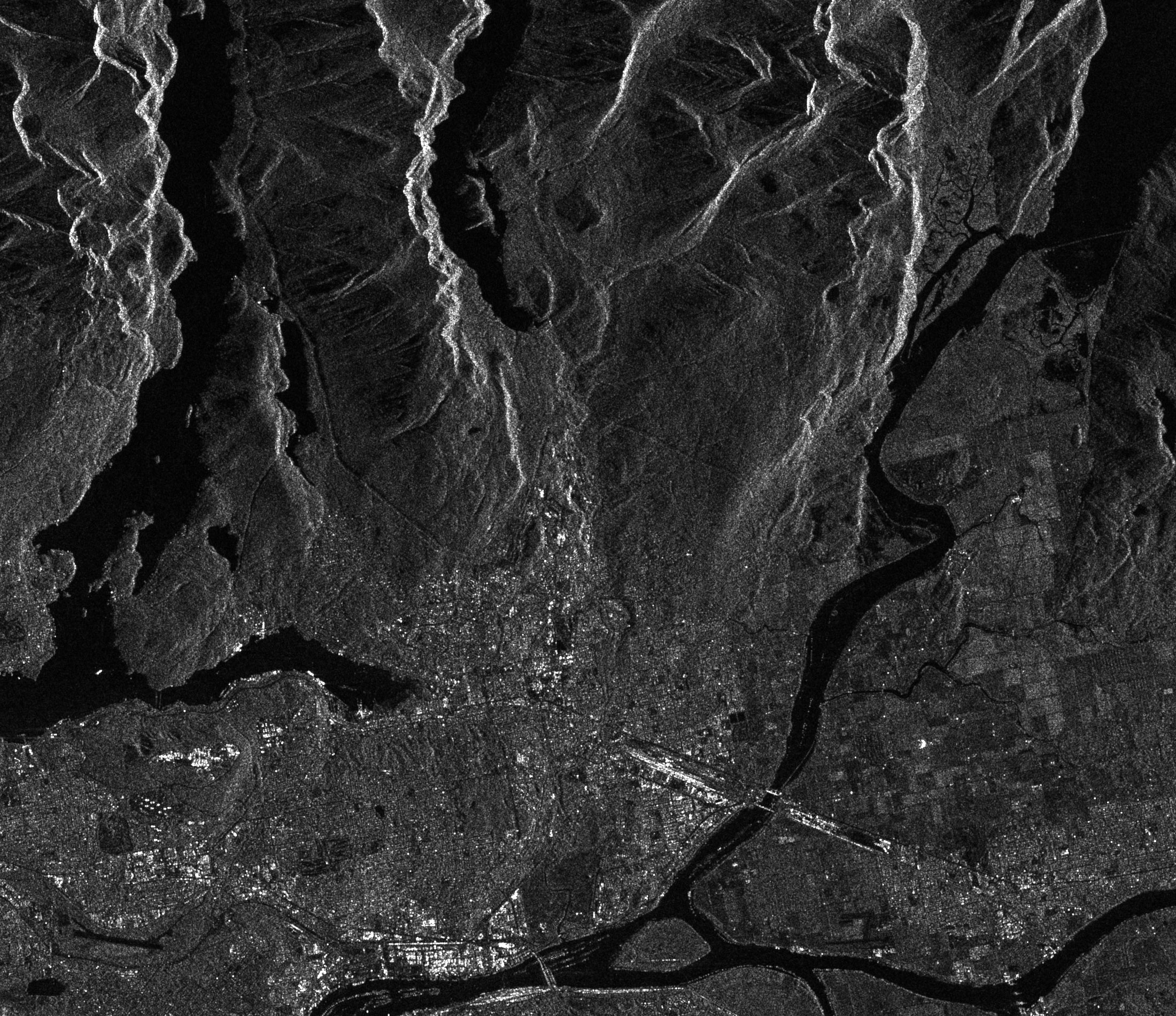
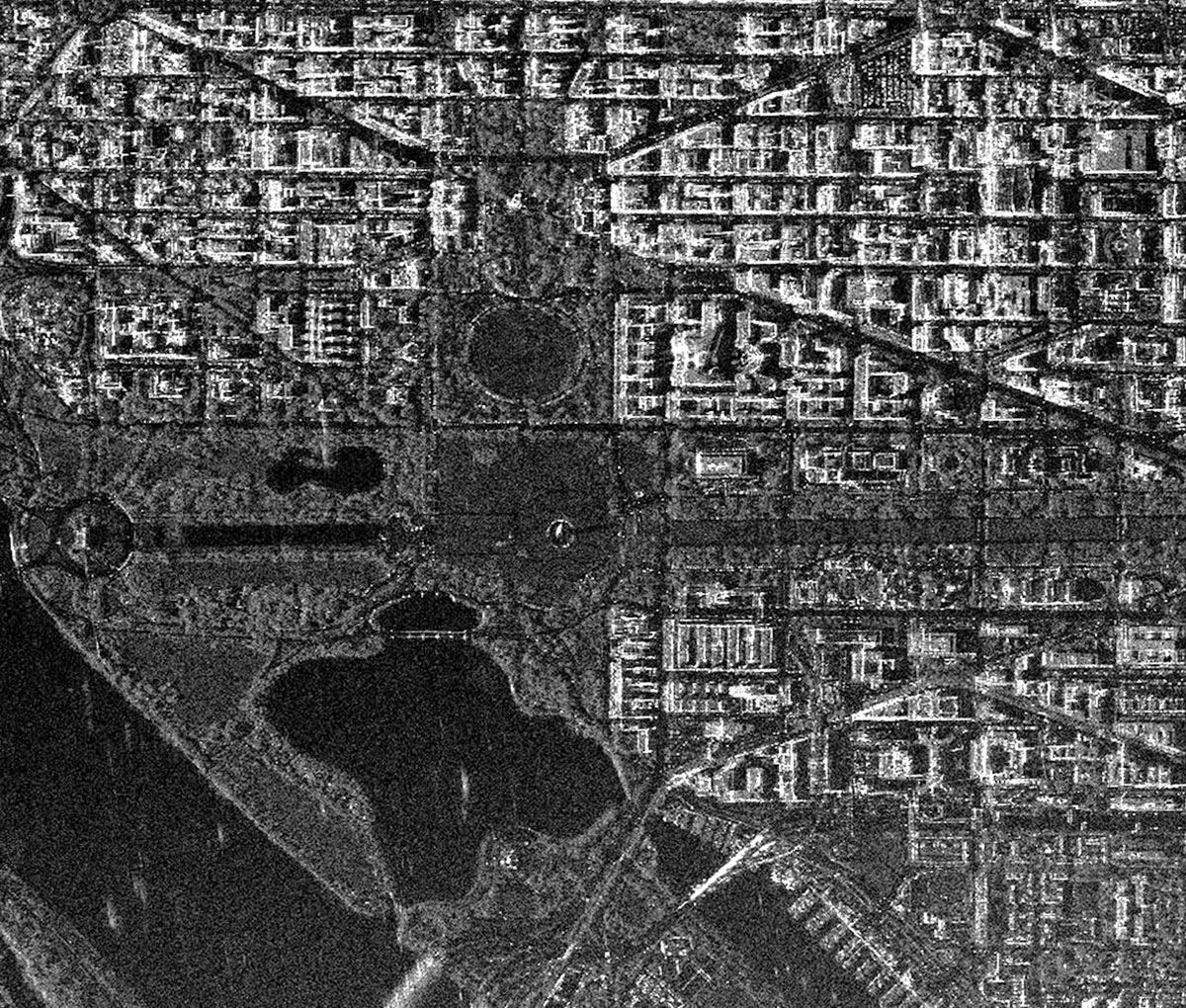
The Radarsat-2 spacecraft has significant technical advantages over the Radarsat-1 spacecraft, including three-meter resolution, flexibility in the choice of polarization, the ability to take left and right side shots, and more accurate measurement of the satellite's position in orbit.
Technical characteristics of the Radarsat-2 spacecraft
|
Name of the spacecraft |
Radarsat-2 |
|---|---|
|
Country |
Canada |
|
Developer |
MacDonald |
|
Operator |
MDA’s Geospatial Services International |
|
Launch date |
14.12.2007 |
|
Orbit: height, km inclination, deg circulation period, min number of turns per day orbit repetition cycle, days |
Sun-synchronous daytime 79898.6 100,7 14 24 |
| Active life, years | 7 |
|
Equipment |
SAR |
|
Power, W |
2400 |
SAR equipment provides the following polarization options:
-
selective (HH и HV) or (VH и VV);
-
single (HH);
-
the quadruple (HH, VV, HV, VH);
-
selective unit (HH) or (HV) or (VH) or (VV).
Technical characteristics of SAR equipment
| Spatial resolution, m | 3 |
|---|---|
|
Wavelength, cm |
5,6 (c-band) |
|
Frequency, GHz |
5,405 |
| Channel bandwidth, MHz | 11.6, 17.3, 30, 50, 100 |
|
Polarization |
HH, HV, VH, VV |
| The dimensions of the SAR antenna, m×m | 15 ×1.5 |
|
File format |
CEOS |
|
Processing |
Радиометрическая, сенсорная и геометрическая коррекция, картографическая |
|
Product delivery |
Прямая передача; On-Line FTP; Курьером на DVD |
Main directions of using data obtained by Radarsat-2 spacecraft:
- Global all-weather, regardless of the time of day monitoring of the state of the ice cover;
- degree of destruction in areas of natural disasters;
- monitoring of vegetation;
- forest monitoring;
- monitoring of flood areas;
- studies of the coastal zone and oceanography;
- monitoring of oil spills;
- geological exploration.