
Spacecraft design and mission details
|
Name |
Resurs-P |
|
Country |
Russia |
|
Developer |
RSC Progress |
|
Operator |
Nts OMZ |
|
Launch vehicle |
Soyuz-2.1b |
|
Launch date |
25 June 2013 |
|
Launch site |
Baikonur Cosmodrome |
|
Date of deactivation |
- |
|
Orbit: Type Altitude, km Inclination, deg.
|
Sun-synchronous 475 97,3 |
|
Mission duration, years |
5 |
|
Revisit frequency, days |
3 |
|
Mass, kg |
6275 (total mass of all Resurs-P satellites) |
Onboard equipment:
- Optical electronic system “GEOTON-L1”;
- Hyperspectral apparatus (HSA);
- Wide-capture multispectral imaging equipment: WCMI-HR and WCMI-MR.
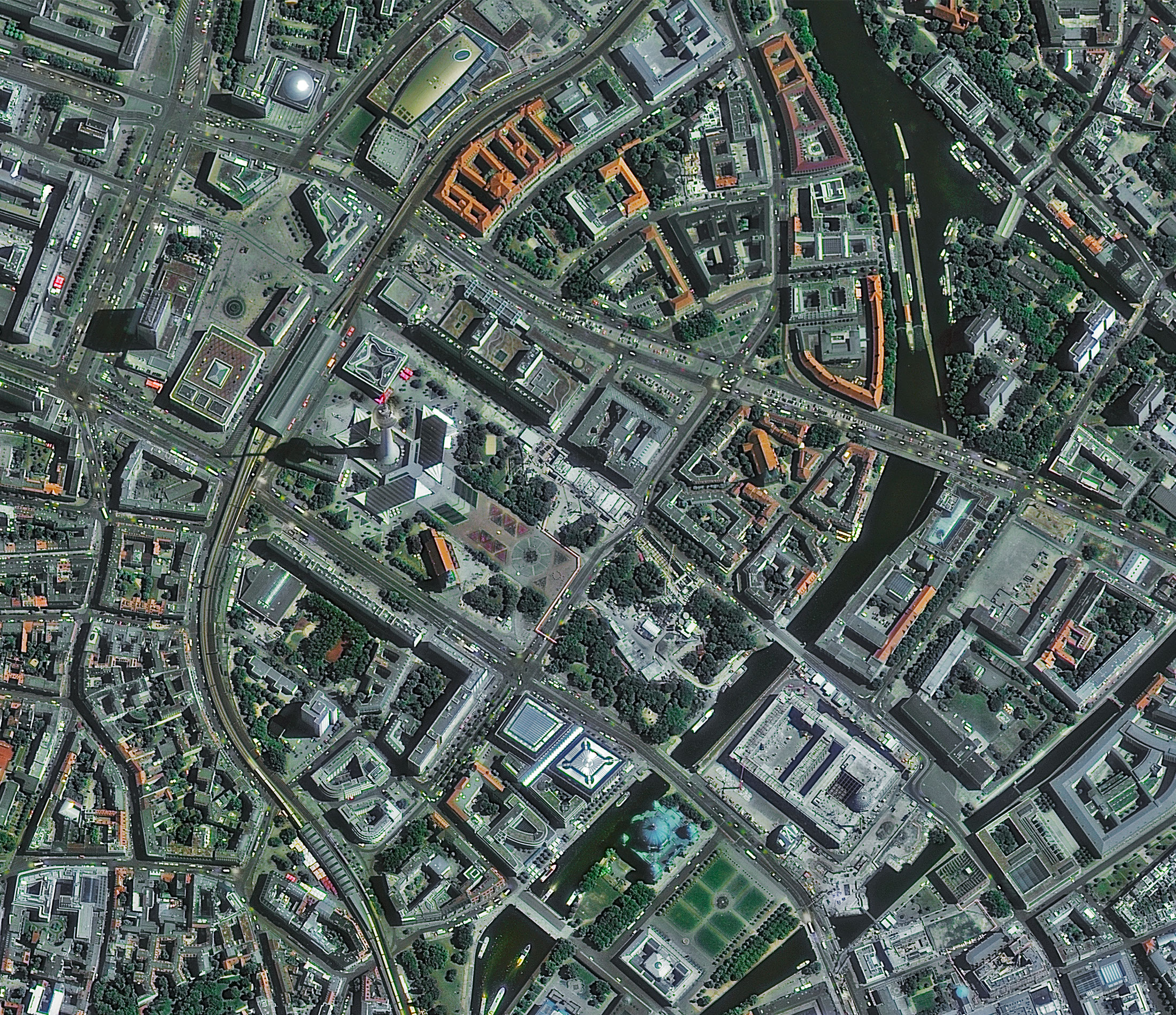
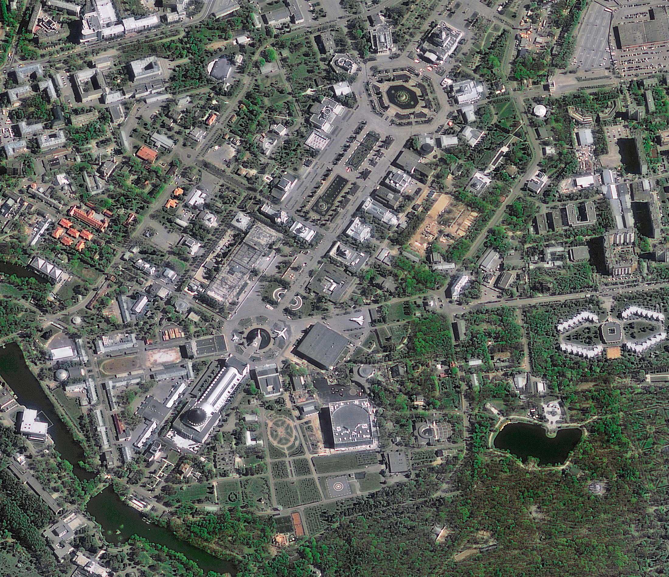
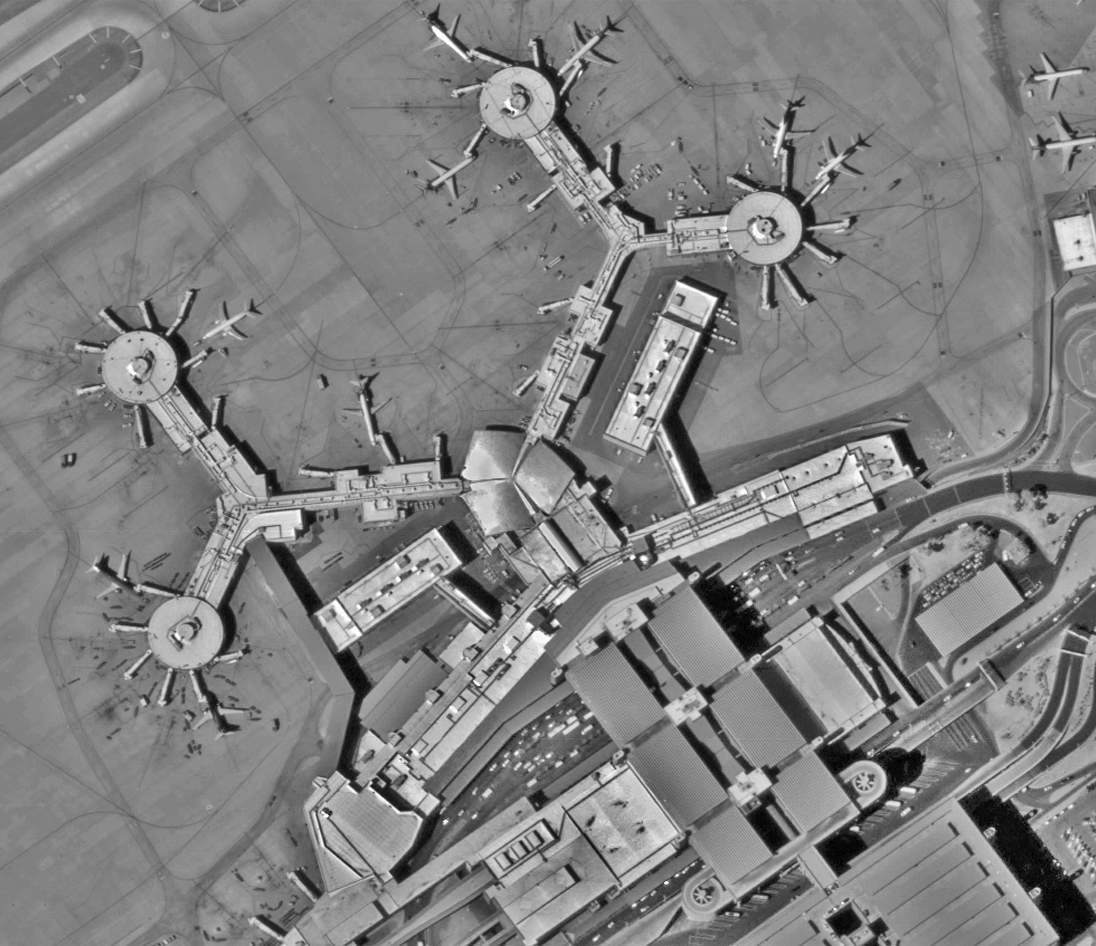
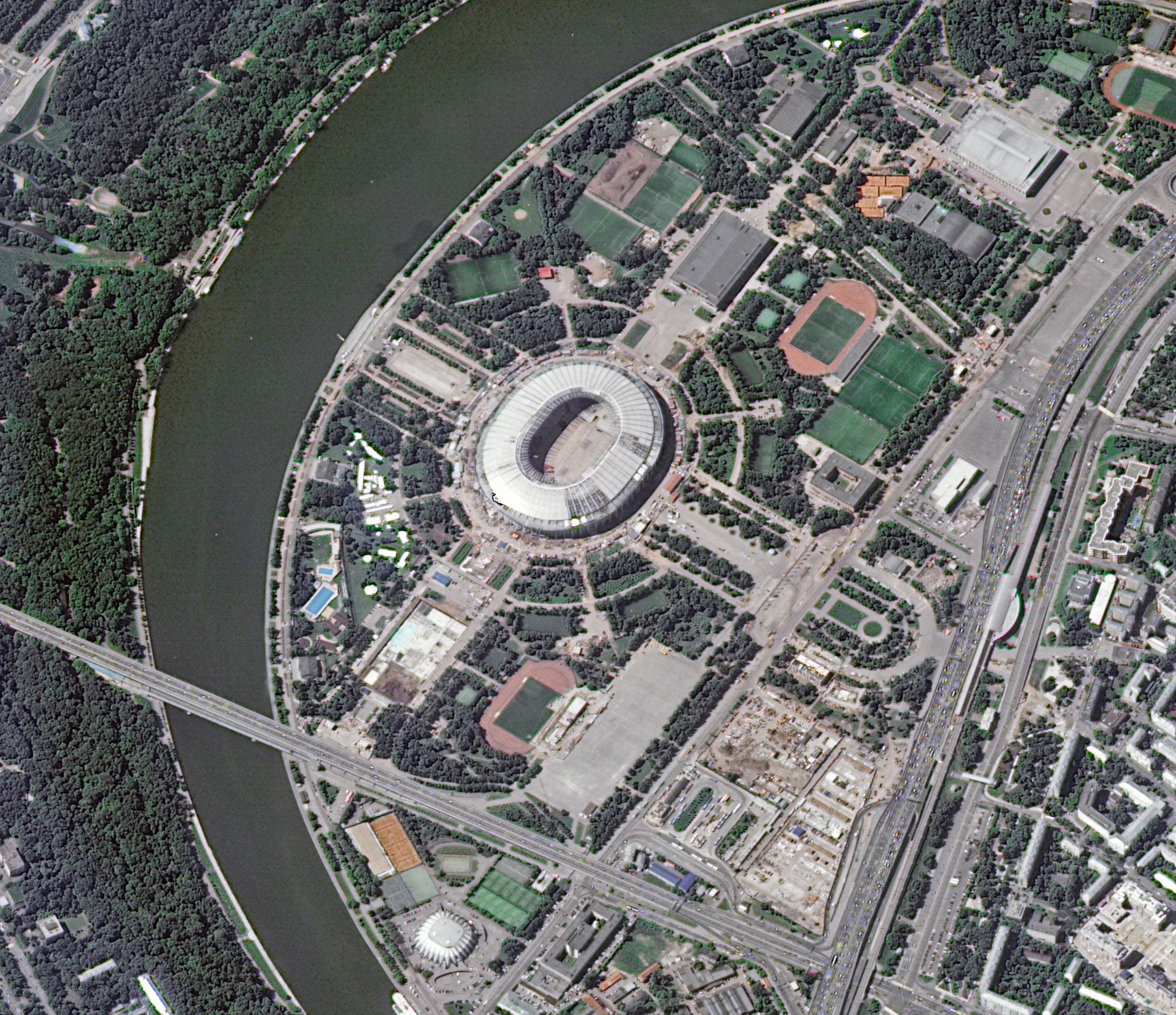
The satellite provides with the help of the instrument GEOTON-L1 a highly detailed scanning of the earth's surface with a resolution of 70 centimeters in monochromatic mode and no worse than 3-4 meters in 5-spectral bands. The width of the strip of the earth's surface taken in one span is 38 km.
There is also a complex of hyperspectral observations (HSA) in 96–255 intervals (wavelength 0.4–1.1 μm) with a resolution of 25–30 m in a 25 km strip.
The device has two sets of wide-capture multispectral imaging equipment: high resolution (WCMI-HR) and medium resolution (WCMI-MR). When using them, the following characteristics are provided (WCMI-HR and WCMI-MR respectively): resolution in monochromatic mode: 12 m, 60 m; resolution in 5 spectral ranges: 23.8 m, 120 m; capture width 97 km, 441 km.
Specifications
|
Equipment |
GEOTON-L1 PAN |
GEOTON-L1 MS |
WCMI-HR |
WCMI-MR |
HSA |
|
Sensor bands |
0,53 – 0,80 µm |
Blue: 0,45 – 0,52 µm |
PAN: 0,43 – 0,70 µm |
|
Not less than 96 spectral bands in the range of 0,4 – 1,1 µm |
|
Sensor resolution, m |
1 |
3 – 4 |
PAN: 12 |
PAN: 60 |
25 – 30 |
|
Swath width (at nadir), km |
38 |
|
96 |
480 |
25 |
|
Swath width, km |
950 |
|
1300 |
|
950 |
For cost calculation of the Resurs-P № 1,2,3 imagery for your area of interest, send technical description of your proposal to: innoter@innoter.com. For consultations contact by the phone: +7 495 245-04-24