What is Hyperspectral Imaging?
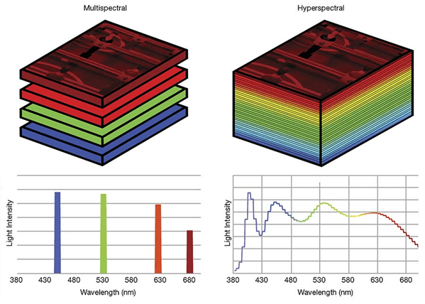
Hyperspectral imaging is a technology for collecting and analyzing data based on measuring electromagnetic radiation in numerous narrow spectral bands spanning the entire visible and infrared spectrum (sometimes including the ultraviolet spectrum). In contrast to conventional imaging, which records information in only a few broad bands (e.g., red, green, and blue channels), hyperspectral imaging separates electromagnetic radiation into hundreds or even thousands of narrow spectral bands.
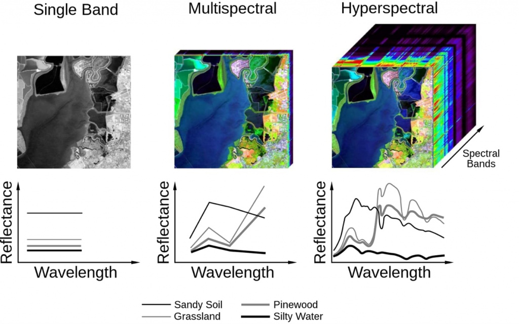
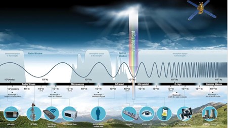
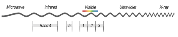
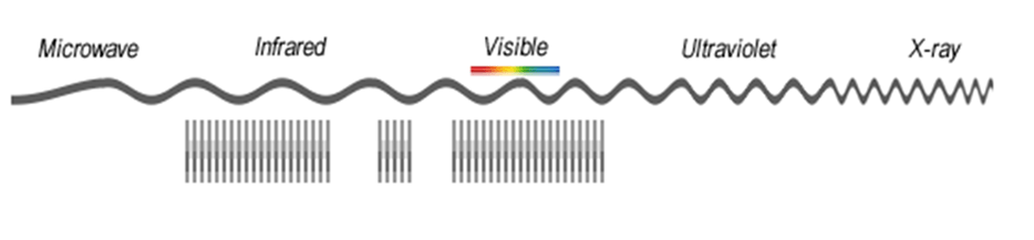
The electromagnetic spectrum describes all types of light: from very long radio waves, microwaves, infrared radiation, visible light, ultraviolet rays, and X-rays to very short gamma rays, most of which the human eye cannot see (Figure 1).
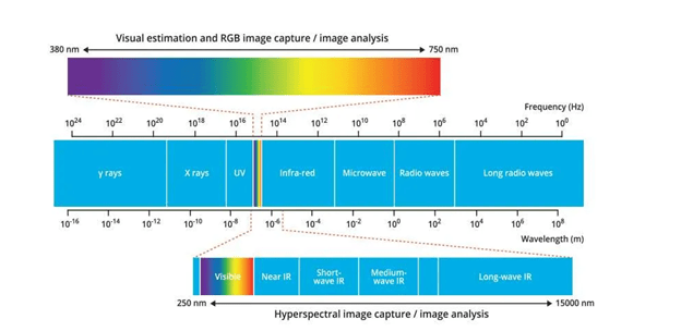
Hyperspectral images have high spectral but low spatial resolution, whereas multispectral images have high spatial but low spectral resolution. Research on combining data has shown that merging multi- and hyperspectral data allows more accurate classification of objects.
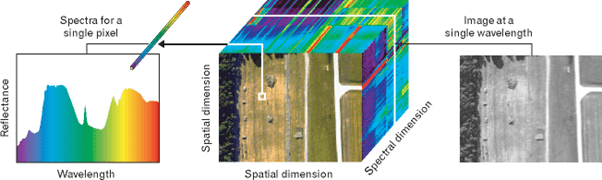
Hyperspectral sensors collect data as a set of images, each image in the set representing a narrow range of wavelengths of the electromagnetic spectrum, also known as the spectral range. These images are combined to form a three-dimensional hyperspectral data cube for processing and analysis. The hyperspectral cube contains spectral data along one dimension and spatial data along the other two, which can be used to create a detailed pixel-wise chemical and spatial map.
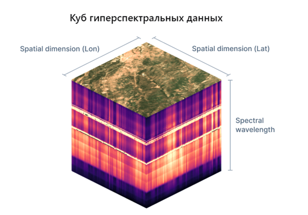
The spatial and spectral characteristics of the obtained hyperspectral data are characterized by information embedded in its pixels. Each pixel is a vector of values that determine intensities at a specific location (x, y spatial coordinates) in z different ranges. This vector is known as the pixel spectrum, and it defines the spectral signature of the pixel at (x, y), i.e., the data stored in the pixel provides information about its spectrum across the entire range of the sensor used. Pixel spectra are important features when analyzing hyperspectral data. However, these pixel spectra are distorted due to various factors (sensor noise, atmospheric effects, low resolution, etc.).
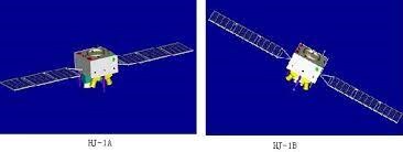
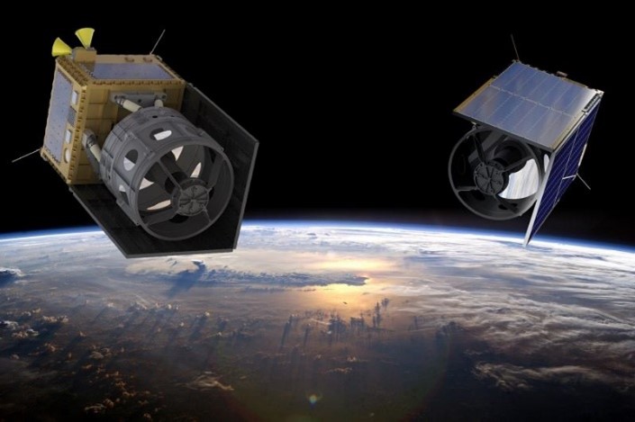
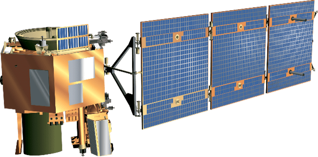
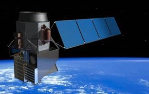
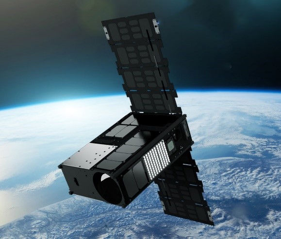
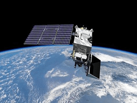
Satellite images obtained using hyperspectral sensors are not as widely available as multispectral ones, due to the limited number of spacecraft equipped with corresponding sensors and the cost of the acquired images. As of December 2023, there is a significant increase in announced projects for launching spacecraft with hyperspectral imaging capabilities.
Advantages of hyperspectral data:
- More spectral bands.
- Better object discrimination ability.
- More accurate analysis of chemical composition.
- Wider range of applications.
Despite its advantages, hyperspectral data also has several drawbacks:
- High computational power requirements.
- Expensive equipment.
- Limited spatial resolution of images.
- Expertise required for data interpretation.
Currently, there are several software suites designed for processing aerospace images, including hyperspectral data, developed by various organizations, the main ones being:
- ENVI (EXELIS);
- ERDAS ErMapper, ERDAS Imaging (Intergraph, ERDAS);
- GEOMATICA (PCI Geomatics);
- Aspect-Stat, Shell, Multiclass, Dinklass (NII "Aerocosmos"),
- and others.