Contact

Polyconic international projection parameters for Iran maps in QGIS

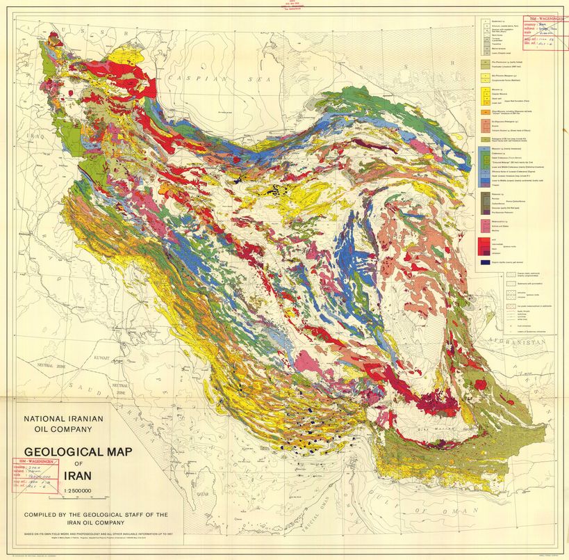
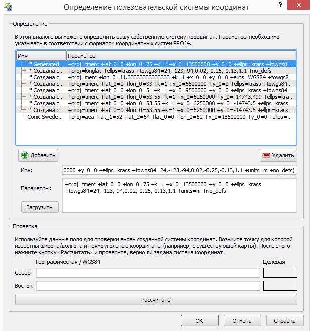
In this projection, maps covering the entire territory of the Islamic Republic of Iran are created (for example, a geological map of Iran). In QGIS, simply copy the projection parameters string to "Settings → Custom Projections..." and save it under any name:

+proj=poly +lat_0=0 +lon_0=54 +x_0=0 +y_0=0 +ellps=WGS84 +datum=WGS84 +units=m +no_defs
image

iranmap.jpg

Fig. Geological map of Iran

clients who trust us
25+ years in the geodata market
clients who trust us
25+ years in the geodata market
Мы используем Яндекс.Метрика и собственные Сookies для обеспечения наилучшего опыта работы на нашем сайте, персонализации сайта для наших пользователей и аналитики. Продолжая использовать сайт вы соглашаетесь с условиями Пользовательского соглашения.