At the event, partners and major clients of Maxar Technologies (formerly DigitalGlobe), who actively use spatial data in their work, participated. New technologies and opportunities for effective application of satellite imagery to solve governmental and commercial tasks across various industries were presented.
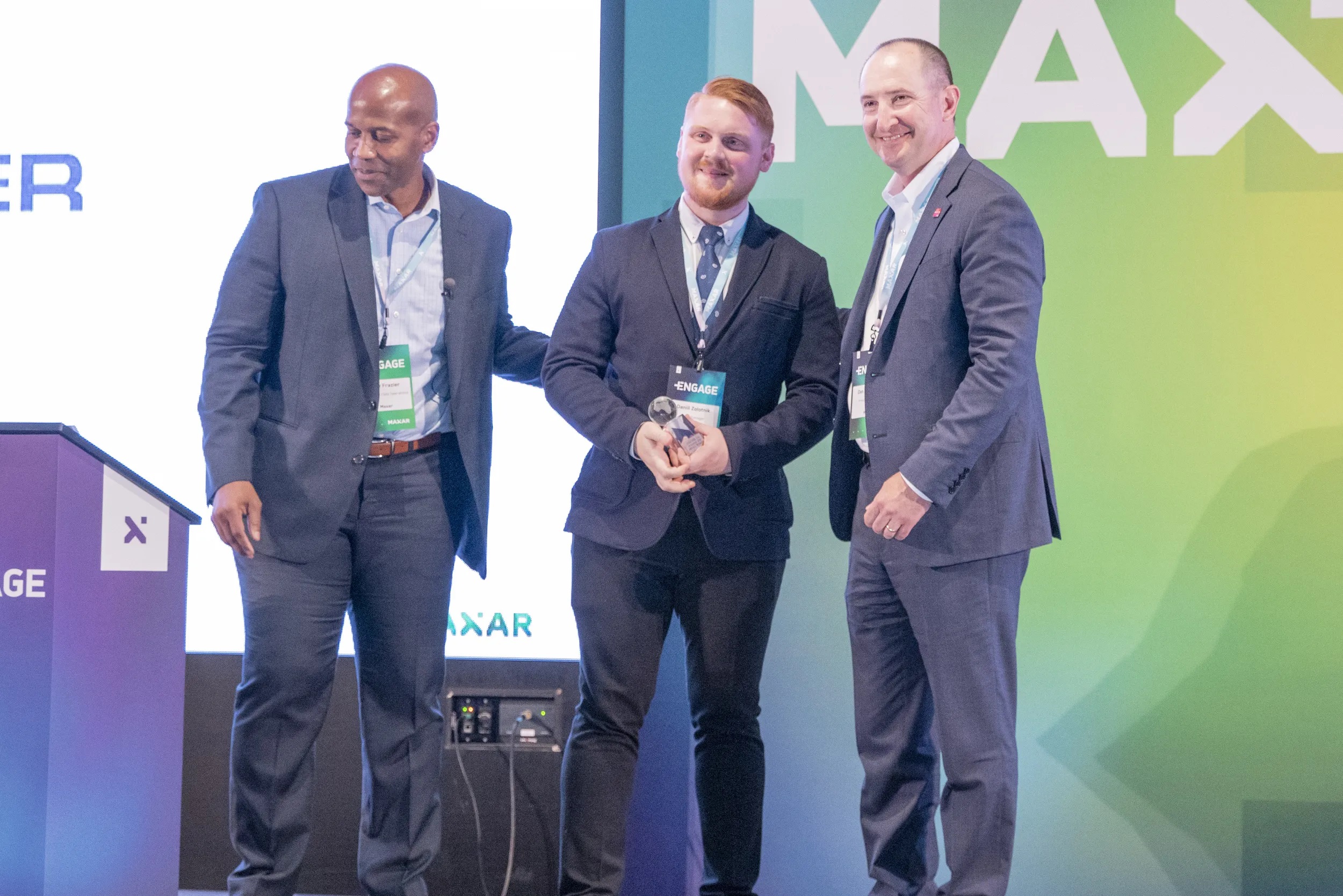
The project "Comparison of capabilities for search and analysis of medicinal plants in Russia and Vietnam", executed by our company's specialists, was recognized as one of the best. Additionally, by the end of 2018, LLC "Innoter" supplied over 1 million square kilometers of high-resolution satellite imagery from DigitalGlobe's satellites — WorldView-1, WorldView-2, WorldView-3, WorldView-4 — and was recognized as the sales leader of 2018. We express our gratitude to DigitalGlobe on behalf of our entire team for the awards and for organizing this global event!
Innoter has been a partner of Maxar Technologies (formerly DigitalGlobe) for many years. In the spatial data market, Innoter provides all types of services for the supply of remote sensing data, photogrammetric processing, thematic analysis of satellite imagery, creation of cartographic products and much more. The company's specialists have high competence and 20 years of experience in the implementation of thematic projects at various territorial levels and the creation of corporate geographic information systems (GIS).
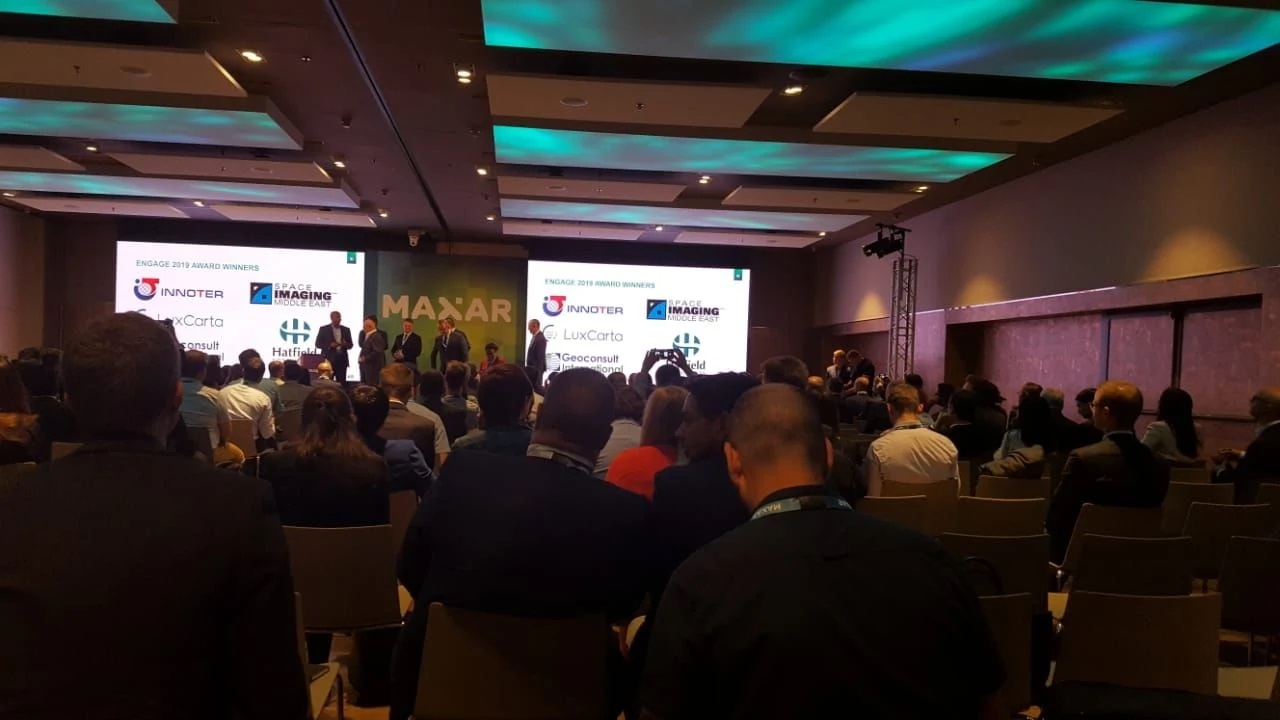
On June 18-19, the international conference ENGAGE 2019 was held in Barcelona. The ENGAGE 2019 conference is one of the main world events in the field of Earth remote sensing (ERS).