Imagery
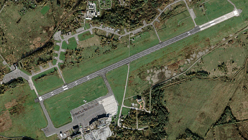
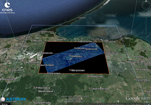
In this work, we used a satellite image of the territory of the Khrabrovo airport and its environs (Kaliningrad region, Russian Federation), obtained by the Pleiades satellite on October 28, 2012.
Parameters of the satellite image:
- Source of snapshot used: “Pleiades”
- Spatial resolution: 0.5 meters
- Coverage area: 40 km2
- Snapshot processing level: Primary
- Data Format: GeoTIFF
- Tilt angle of a picture: 7°
- Product option: natural color
- Radiometric resolution: 12 bits
- Relief: flat
- Coordinate system: WGS-84 UTM34N
Horizontal and vertical tie-in
The customer transferred the vector data of the Khrabrovo airport's topographic survey in the form of a digital file in the .dwg format, containing spatial information about the objects located at the airport, and information about the relief. Planned and altitude coordinates of reference and control points are removed from the contours of the vector file.
Photogrammetric works
The whole complex of photogrammetric works on the creation of an orthophoto-transformed image was carried out by using the PHOTOMOD software system version 5.24 and included:
- Creating a project;
-
Creating a digital matrix of relief for a given territory;
-
Removal of reference and control points;
-
Determining the position of reference and control points in the image;
-
Adjusting the position of the picture;
-
Control of the accuracy of products;
-
Creating an orthorectified image (orthophotomap);
-
Control of the accuracy of the output;
-
Shooting work;
-
Altitude plan;
-
Photogrammetric work.