Contact

Monitoring of new constructions and surrounding buildings

01

About the project

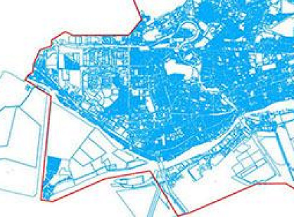
Obtaining qualitative remote sensing data for monitoring construction sites of residential and commercial buildings in Saint-Petersburg.

Industry Land use and territory management
Customer

Construction company

End date 08/31/2015
02

Project goal

Obtaining qualitative remote sensing data for monitoring construction sites of residential and commercial buildings in Saint-Petersburg.

03

Completed works

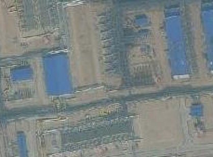
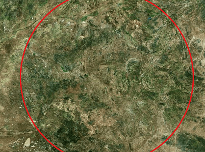
On two construction sites, the boundaries of which were designated in the customer’s specifications, the satellite images that met the criteria and tasks of the user were selected. The selected data from the Pleiades satellite with a spatial resolution of 0.5 m. In accordance with the terms of reference, two pictures for 2013 and 2014 were supplied as the final product, which could be used to analyze the dynamics of construction. Four images with the WorldView-1 and WorldView-2 satellites with a resolution of 0.5 m were also selected. The time intervals corresponded to the construction stages: February 2012, November 2012, January 2014, January 2015.

04

Result

The data of remote sensing of the Earth with a spatial resolution of 0.5 m allowed the customer to make high-quality monitoring of the site at various stages of construction.

Need satellite imagery or help choosing the right data?

Describe your task, area of interest, and desired outcome. We will check data availability, assess new acquisition options, and propose the optimal solution in terms of timelines, cost, and quality.
clients who trust us
25+ years in the geodata market
Request a call back
Back to page top
Мы используем Яндекс.Метрика и собственные Сookies для обеспечения наилучшего опыта работы на нашем сайте, персонализации сайта для наших пользователей и аналитики. Продолжая использовать сайт вы соглашаетесь с условиями Пользовательского соглашения.