Contact

Supply of satellite imagery for ecological monitoring

01

About the project

Ecological monitoring of the territory with a total area 400 km2 situated in the Nenets Autonomous Okrug and the Republic of Komi.

Industry Ecology and conservation
Customer

Ecological organization

End date 11/30/2016
02

Project goal

Ecological monitoring of the territory with a total area 400 km2 situated in the Nenets Autonomous Okrug and the Republic of Komi.

03

Completed works

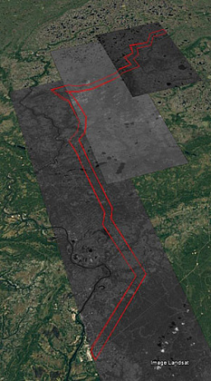
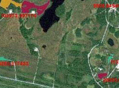
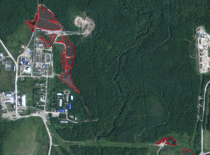
According to the technical assignment, the viewing, selection and processing of digital information were performed with the SCA BCA, the spatial resolution of 2.1 m in a pixel when shooting at nadir, the color version (pan-sharpened).


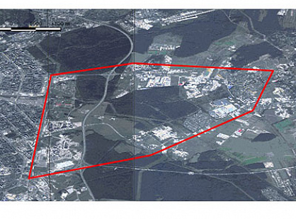
Customer’s AOI: 400 sq. km.

Площадь-400-кв.jpg
04

Result

The customer received high-quality space imagery to perform work on the environmental monitoring of the object.

Need satellite imagery or help choosing the right data?

Describe your task, area of interest, and desired outcome. We will check data availability, assess new acquisition options, and propose the optimal solution in terms of timelines, cost, and quality.
clients who trust us
25+ years in the geodata market
Request a call back
Back to page top
Мы используем Яндекс.Метрика и собственные Сookies для обеспечения наилучшего опыта работы на нашем сайте, персонализации сайта для наших пользователей и аналитики. Продолжая использовать сайт вы соглашаетесь с условиями Пользовательского соглашения.