Contact

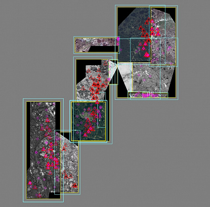
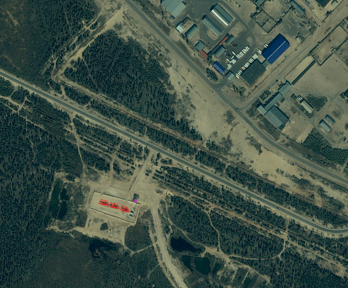
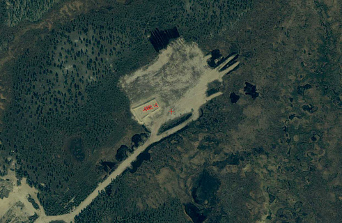
Orthophotomap of the East-Pyakutinsky, Zapadno-Sutorminsky, Muravlenkovsky and Krayneye Fields

01

About the project

Creation of an orthophotomap on the territory of the Yamalo-Nenets Autonomous District in the areas of interest, provided with the planning-altitude information with a standard error of less than 1.5 meters.

Industry Oil and gas
Customer

Oil and gas company

End date 08/31/2012
02

Project goal

Creation of an orthophotomap on the territory of the Yamalo-Nenets Autonomous District in the areas of interest, provided with the planning-altitude information with a standard error of less than 1.5 meters

03

Completed works

We used materials from space imagery on the territory of the East-Pyakutinsky, Zapadno-Sutorminsky, Muravlenkovsky and Extreme fields, performed by satellites – WorldView-1, WorldView-2, QuickBird, IKONOS-2 in the period from 28.05.2010 to 11.07.2012.

According to the condition of the technical specification, the customer provided the catalogs of coordinates and vector data on the reference points with an accuracy of coordinates of up to 1 cm.

Using satellite images with the Geo processing level and the coordinates of the reference points, photogrammetric work was carried out in office conditions to build orthophotomaps to the territory provided with the planning-altitude information.

The whole range of photogrammetric works was carried out by using the PHOTOMOD software system.

Photogrammetric work on the creation of an orthophotomap included:

  • Concentration of the plan-height justification by a set of tie points;

  • Determining the position of ground control points on satellite images from the vector data provided by the customer;

  • External orientation of satellite images with the use of RPC and refined reference points;

  • Construction of a digital elevation model (DEM) using vector data provided by the customer with its subsequent quality assessment and filtering;

  • Creating orthorectified images using the results of exterior orientation and DTM;

  • Building mosaic orthophotomaps on areas of interest.

04

Result

As a result of the work, the task was accomplished: an orthorectified mosaic image of the areas of interest of the East-Pyakutinsky, Zapadno-Sutorminsky, Muravlenkovsky and Extreme deposits with a root-mean-square error of less than 1.5 meters was created.

Need satellite imagery or help choosing the right data?

Describe your task, area of interest, and desired outcome. We will check data availability, assess new acquisition options, and propose the optimal solution in terms of timelines, cost, and quality.
clients who trust us
25+ years in the geodata market
Request a call back
Back to page top
Мы используем Яндекс.Метрика и собственные Сookies для обеспечения наилучшего опыта работы на нашем сайте, персонализации сайта для наших пользователей и аналитики. Продолжая использовать сайт вы соглашаетесь с условиями Пользовательского соглашения.