Completed works
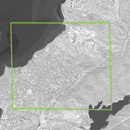
First, at the request of the customer, a survey was taken from the WorldView-1 and Ikonos satellites to the territory of interest.
To perform the work on decoding with the accuracy specified by the customer, archived space images for the autumn period of 2010, 2011 and 2012 were selected with the following characteristics:
For WorldView-1, the black and white version, spatial resolution 0.5 m. Processing level: OrthoReady Standard. UTM projection, ellipsoid, and WGS-84 coordinate system.
For "IKONOS" – color version (natural colors), the spatial resolution of 1m. Processing Level: Geo. UTM projection, ellipsoid, and WGS-84 coordinate system.
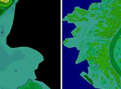
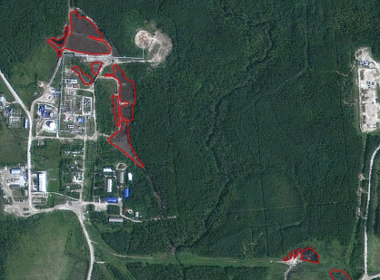
The second stage of the contract execution was the execution of works on the visual interpretation of space images within the site at the address of the property to determine the presence of objects and their parts, characteristics.
Based on the work done, an official report was drawn up on the state of the area within the area of interest.
Covering scheme, Vladivostok, area: 25 km2