Acquisition of archive data from the Pleiades satellite, as well as the creation of an orthophotomap on their basis to the sc. Tarasovskoye, Moscow region, Pushkin district.
| Industry | Land use and territory management |
|---|---|
| End date | 05/29/2015 |
Acquisition of archive data from the Pleiades satellite, as well as the creation of an orthophotomap on their basis to the sc. Tarasovskoye, Moscow region, Pushkin district.
| Industry | Land use and territory management |
|---|---|
| End date | 05/29/2015 |
As part of the project, work was done on the analysis of existing archival images on the territory specified by the customer. For the final delivery, images from the Pleiades satellite (“Primary” processing level, color version, spatial resolution 0.5m) were selected
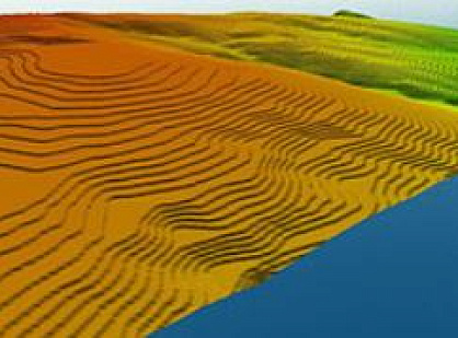
Orthorectification of the space imagery was carried out in the Gauss-Kruger and SK-42 projection (Pulkovo datum) using space-based RPC-coefficients and the SRTM-90 public digital elevation model.
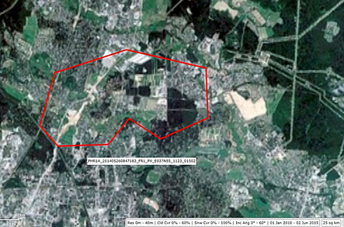
Tarasovskoye settlement, Pleiades imagery, are – 25 sq. km.
The result of this work was the delivery to the customer of archived images from the Pleiades spacecraft and the orthophotomap made on their basis.