Supply of orthophotomaps for the territory of the Kemerovo oblast, Krasnodar Krai, Republic of Khakassia
Supply of orthophotomaps for the territory of the Kemerovo oblast, Krasnodar Krai, Republic of Khakassia
01
About the project
Supply of orthophotomaps for the territory of the Kemerovo oblast, Krasnodar Krai, Republic of Khakassia with a total area of 5348 sq. km.
Industry
Mapping
Customer
Large cartographic company
02
Project goal
Supply of actual space imagery for mapping areas of interest located in the Kemerovo oblast, Krasnodar Krai and the Republic of Khakassia.
03
Completed works
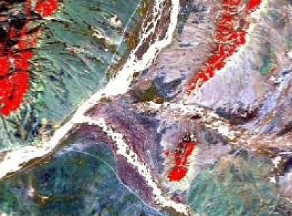
The order and delivery of archival shooting in accordance with the requirements of the customer was carried out mainly with the SPOT-6/7, WorldView-1/2/3, GeoEye-1 spacecraft. Digital orthophotomaps were created basing on the obtained shooting in accordance with the technical specifications.
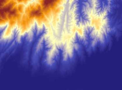
The orthorectification of space imagery materials was performed with the transition from the UTM WGS84 coordinate system to SK-1942, while the average errors in the planned position in the images of objects and clear terrain contours relative to the nearest points and points of the geodetic base did not exceed 5.0 m. Orthorectification was performed on the transmitted by the customer on a plan-and-height basis and a DTM, satisfying the accuracy stipulated in the photogrammetric work instruction for 1: 25000 scale. Ready orthophotomaps were created in panchromatic colors (shades of gray) with cutting into fragments specified by the customer. The format of output orthophotomaps is GeoTIFF.
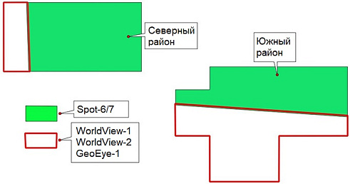
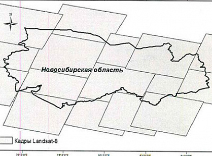
The layout of the area of the data order and delivery in the Kemerovo oblast: 2304 sq. km
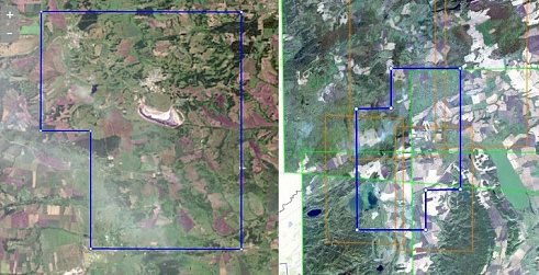
The total area of the transmitted space imagery and the created digital orthophotomaps on the territory of the Kemerovo oblast amounted to 2189 sq. km.
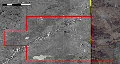
The total area of the transmitted space imagery and the created digital orthophotomaps on the territory of the Kemerovo oblast amounted to 855 sq. km.
Схема расположения района заказа и поставки данных на территории Кемеровской области: 2304 км2
Общая площадь передаваемой съёмки и создаванных цифровых ортофотопланов на территории Кемеровской области составила - 855 кв.км
04
Result
The customer within a reasonable time for him received a large amount of data necessary for the further technological stages of creating cartographic products for these territories.
Need satellite imagery or help choosing the right data?
Describe your task, area of interest, and desired outcome. We will check data
availability, assess new acquisition options, and propose the optimal solution in terms of timelines, cost,
and quality.
Fast feedback during business hours
We will select the best data for your task
Confidentiality guaranteed
Discuss the project
clients who trust us
25+ years in the geodata market
Мы используем Яндекс.Метрика и собственные Сookies для обеспечения наилучшего
опыта работы на нашем сайте, персонализации сайта для наших пользователей и аналитики.
Продолжая использовать сайт вы соглашаетесь с условиями
Пользовательского соглашения.
Request a call
Leave your contact details — we will get back to you during business hours, clarify the task and suggest suitable data or services.
Write to e-mail
Send a message, technical specification or task description. We will review your request and reply to the specified e-mail.
Fill in the order form
Describe the area, object and imagery requirements. We will check archive availability, the possibility of a new acquisition and offer a suitable option.
Order software
Order TK
Your application is accepted
We will contact you during working hours.
Выбрать город
Россия
Другие страны
Белоруссия
Contact via WeChat
Feliks Fokin
Open WeChat and scan the QR code to add the contact. On a phone, save the code and select it in the WeChat scanner.