3D models allow to visualize a certain object, city or landscape. 3D models of cities are especially popular for urban planning. The Innoter company uses orthorectified satellite images with high resolution to create 3D models of different urban areas.The absolute accuracy of the model is +/- 3 m.
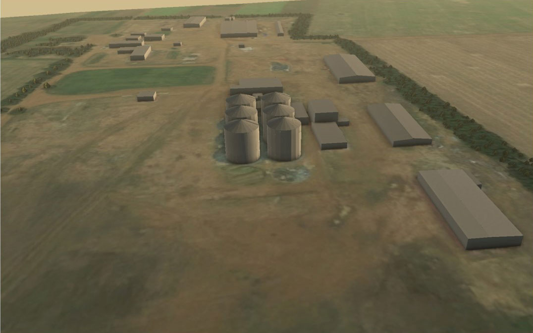
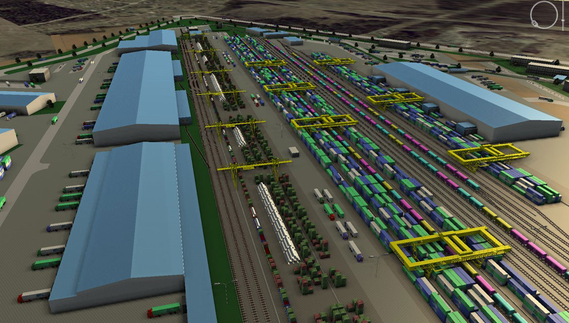

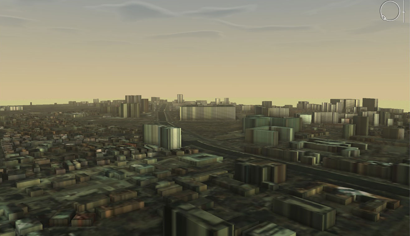
Special software is needed to create the 3D model, because the process of creating includes vectorization in stereo mode. Initial data for 3D modelling:
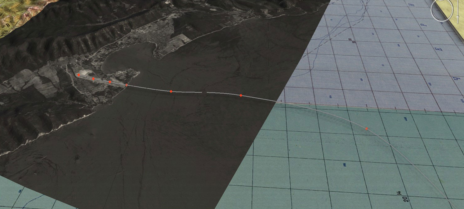
In a 4D model one more coordinate – time – is added. The 4D model allows to monitor changes and dynamics of an object or a phenomena. It also can be used for technological processes monitoring or for consequences of disasters predicting.
If you would like to order a 3D/4D model, contact us by the phone: +7 495 245-04-24 or send us an e-mail to: innoter@innoter.com
- city plans;
- maps;
- space monitoring data;
- satellite images;
- digital terrain models (DTMs).
- informational support of a project;
- virtual prototypes;
- choice of an optimal location for an object;
- construction works monitoring;
- evacuation modelling in case of an emergency situation or a natural disaster.
In a 4D model one more coordinate – time – is added. The 4D model allows to monitor changes and dynamics of an object or a phenomena. It also can be used for technological processes monitoring or for consequences of disasters predicting.
If you would like to order a 3D/4D model, contact us by the phone: +7 495 245-04-24 or send us an e-mail to: innoter@innoter.com