of geospatial solutions
Sat-Sun: Non-working days
What is the Benefit of This Article?
By reading this article, the user will gain information about the types of digital elevation and terrain models that exist. They will learn about the extent covered by each of them, which DEMs are available in open access, and which ones are available for commercial ordering.
Introduction
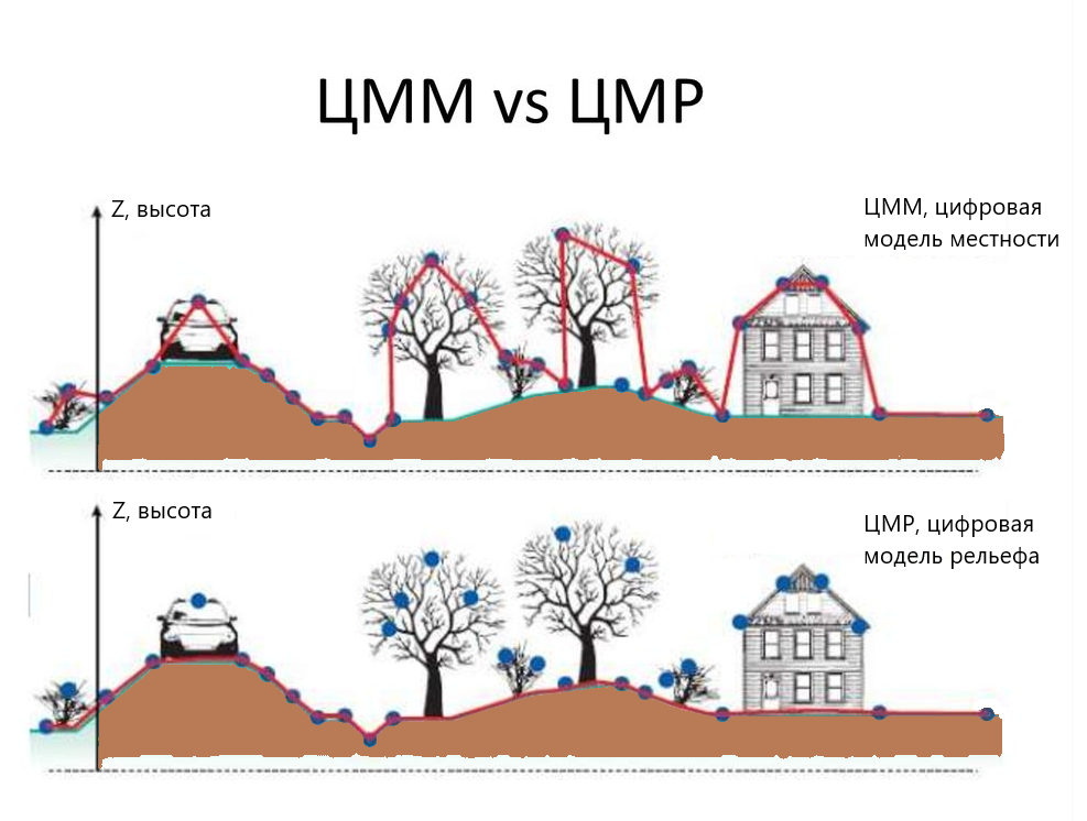
Digital Elevation Models (DEMs) are a type of three-dimensional mathematical models that contain information about elevation points on the Earth's surface.
It is important to distinguish between concepts such as DTM - a terrain model that describes both anthropogenic and elevation features along with the terrain, and DEM - an elevation model that describes only the Earth's underlying surface.
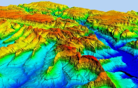
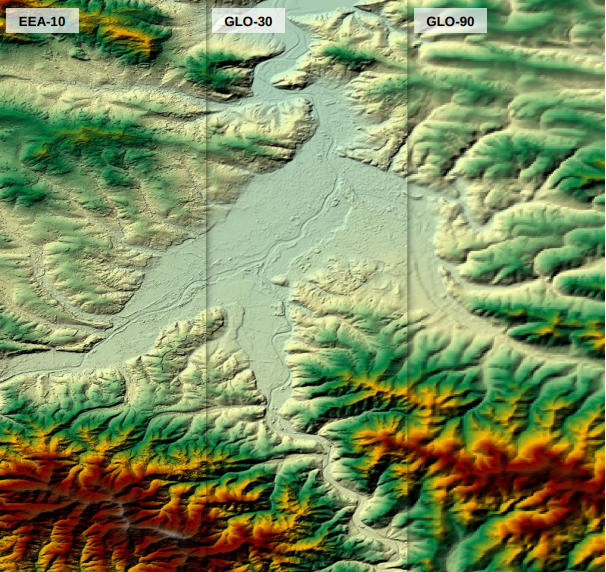
Global DEMs
Data Type: DTM
Satellite used for imaging: ASTER
Creation Method: Photogrammetry
Matrix Resolution: 30 meters
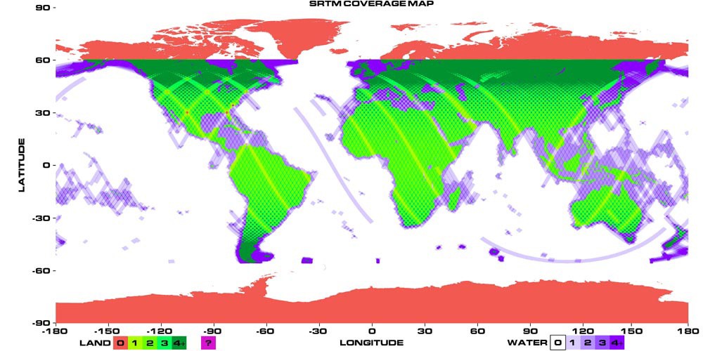
Coverage Area: Coverage from 83° North Latitude to 83° South Latitude
Imaging Date: 2000–2011
Data Type: DTM
Satellite used for imaging: ALOS
Creation Method: Photogrammetry
Matrix Resolution: 30 meters
Coverage Area: Global coverage
Imaging Date: 2006–2011
- MERIT DEM was created based on SRTM and AW3D30 V1 data by reducing their errors.
Data Type: DTM
Satellites used for imaging: SRTM, ALOS
Creation Method: Photogrammetry
Matrix Resolution: 90 meters
Coverage Area: From 90° North Latitude to 60° South Latitude in WGS84 coordinate system.
Imaging Date: 2000, 2006–2011
- TanDEM-X DEM – download DEM data with a matrix step accuracy of 90 meters on the portal.
Data Type: DTM
Satellites used for imaging: TerraSAR-X and TanDEM-X
Creation Method: Radar Interferometry
Matrix Resolution: 12 meters, 30 meters, 90 meters (available in open access)
Imaging Date: 2010–2015
Data Type: DTM
Satellite used for imaging: Space Shuttle Endeavour
Creation Method: Radar Interferometry
Matrix Resolution: 30 meters, 90 meters
Coverage Area: From 60° North Latitude to 56° South Latitude
Imaging Date: 2000
You can order from us

Data Type: DTM
Satellite used for imaging: Space Shuttle Endeavour
Creation Method: Radar Interferometry
Matrix Resolution: 30 meters
Coverage Area: From 60° North Latitude to 56° South Latitude
Imaging Date: 2000
Data Type: DTM
Satellite used for imaging: TerraSAR-X and TanDEM-X
Creation Method: Radar Interferometry
Matrix Resolution: 30 meters (with limitations), 90 meters
Coverage Area: From 50° North Latitude to 50° South Latitude
Imaging Date: 2011–2015
Data Type: DTM
Satellite used for imaging: TerraSAR-X and TanDEM-X
Creation Method: Radar Interferometry
Matrix Resolution: 30 meters (worldwide, except for Azerbaijan and Armenia), 90 meters
Coverage Area: From 50° North Latitude to 50° South Latitude
Imaging Date: 2011–2015
Local DTM.
In addition to global DTMs, local DTMs are constantly being created, which typically have higher accuracy. Let's consider some of them.
Data Type: DTM
Satellite used for imaging: Fusion of SRTM and ASTER data
Creation Method: Combined
Matrix Resolution: 30 meters
Vertical Accuracy: 7 meters
Coverage Area: Europe and Turkey
Imaging Date: 2000–2011
Data Type: DTM
Used DTMs: MERITDEM, AW3D30, GLO-30, EU DEM
Creation Method: Height object removal using machine learning with DTMs
Matrix Resolution: 30 meters
Coverage Area: Europe and Turkey
Imaging Date: 2000–2011
- 3DEP (USGS 3D Elevation Program)
Data Type: DTM
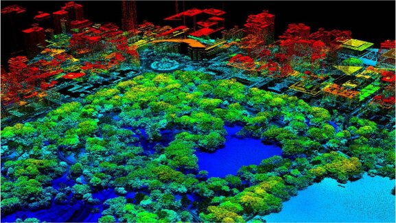
Creation Method: Lidar
Matrix Resolution: 2–5 meters
Coverage Area: United States (not the entire territory)
Imaging Date: 2012–2022
Data Type: DTM
Satellite used for imaging: WorldView-1, WorldView-2, WorldView-3, GeoEye-1
Matrix Resolution: 2 meters
Coverage Area: From 60° North Latitude
Imaging Date: 2016
Data Type: DTM
Satellite used for imaging: WorldView-1, WorldView-2, WorldView-3, GeoEye-1
Matrix Resolution: 8 meters
Coverage Area: From 60° South Latitude
Imaging Date: 2009–2017
- High Mountain Asia DEM
Data Type: DTM
Creation Method: Photogrammetric
Matrix Resolution: 8 meters
Coverage Area: From the Tian Shan Mountains to the eastern Himalayas
Imaging Date: 2002–2016
Data Type: DTM
Satellite used for imaging: WorldView-1, WorldView-2, WorldView-3, GeoEye-1
Matrix Resolution: 8 meters
Coverage Area: From 60° South Latitude
Imaging Date: 2009–2017
- High Mountain Asia DEM
Data Type: DTM
Creation Method: Photogrammetric
Matrix Resolution: 8 meters
Coverage Area: From the Tian Shan Mountains to the eastern Himalayas
Imaging Date: 2002–2016
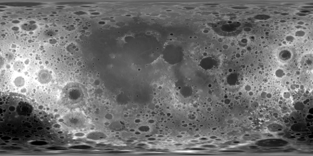
Data Type: DTM
Satellite used for imaging: New Horizons
Matrix Resolution: 300 meters
Imaging Date: 2015
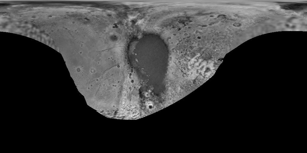
MOLA (Mars Orbiter Laser Altimeter)
Data Type: DTM
Satellite used for imaging: Mars Global Surveyor
Matrix Resolution: 463 meters
Horizontal Accuracy: Approximately 100 meters
Imaging Date: 1999–2001
Data Type: DTM
Satellite used for imaging: Messenger
Matrix Resolution: 665 meters
Horizontal Accuracy: Approximately 100 meters
Imaging Date: 2011–2015
Conclusion.
In this article, we have presented some of the existing digital elevation models (DEMs) available today. New DEMs are constantly being developed, and updates to existing data are being made using cutting-edge technologies, such as machine learning, to transition from digital terrain models (DTMs) to digital elevation models (DEMs).
At "Geospatial Agency INNOTER," we are ready to provide services for creating digital elevation models (DEMs) from start to finish, and we can also supply commercial DEMs for any location worldwide.


Sat-Sun: Non-working days