



Search the site
DigitalGlobe, the world's leading provider of high-resolution Earth imagery, and Innoter, the official distributor of DG imagery, are happy to announce their clients the special offer. All recent archive imagery from DG's satellites constellation is available at the price of the standard archive!
List of satellites available:
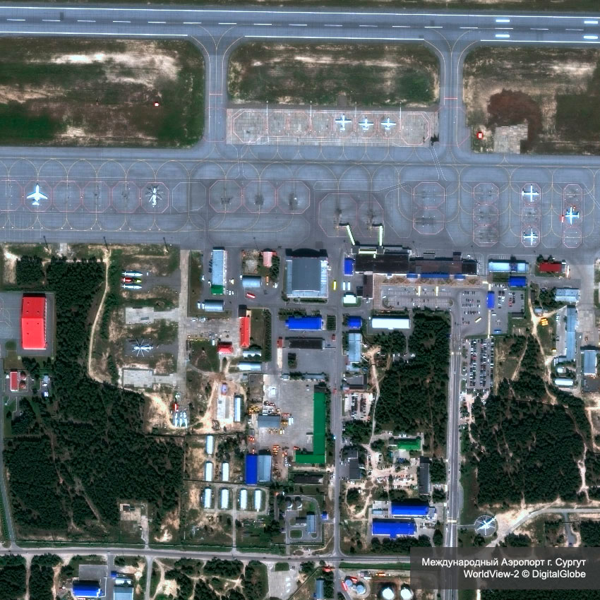
List of satellites available:
- WorldView-1 (50 cm);
- WorldView-2 (46 cm);
- WorldView-3 (31 cm);
- WorldView-4 (31 cm);
- GeoEye-1 (41 cm).
- Mapping;
- Land classifications;
- Vegetative analysis;
- Mining;
- Environmental monitoring;
- Forensic analysis;
- Urban planning.
Need satellite imagery or help choosing the right data?
Describe your task, area of interest, and desired outcome. We will check data
availability, assess new acquisition options, and propose the optimal solution in terms of timelines, cost,
and quality.
Discuss the project
clients who trust us
25+ years in the geodata market






