01
About the project
Providing with space surveying at once three linearly extended objects of the Bovanenkovsky field.
| Industry | Oil and gas |
|---|---|
| End date | 05/07/2010 |
Providing with space surveying at once three linearly extended objects of the Bovanenkovsky field.
| Industry | Oil and gas |
|---|---|
| End date | 05/07/2010 |
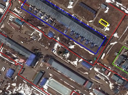
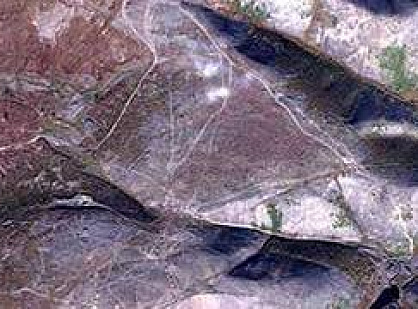
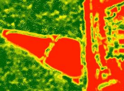
The use of satellite images in the design of linearly extended objects (oil and gas pipelines, condensate lines and related structures) in the Far North and Siberia can significantly reduce the cash and labor costs for the preparation and execution of geodetic works.
Bovanenkovskoye oil and gas condensate field – The largest field in the Yamal Peninsula in Russia. Bovanenkovo is located on the Yamal Peninsula, 40 kilometers from the coast of the Kara Sea, the lower course of the Syo-Yakha, Morda-Yakha and Naduy-Yakha rivers. The reserves of the field are estimated at 4.9 trillion cubic meters. m of gas; design capacity – 115 billion cubic meters. m of gas per year.
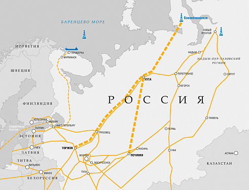
To transport gas from the Bovanenkovskoye field, it is planned to construct a multi-line gas transmission system connecting the Yamal Peninsula and the central regions of Russia. The length of the gas pipeline will be over 2,400 km, including the new Bovanenkovo – Ukhta gas transmission corridor with a length of about 1,100 km and the Ukhta – Torzhok gas pipeline with a length of 1,300 km.
Innoter carried out space imagery of three objects at once at the Bovanenkovskoye field in 2010:
section of the railway line Obskaya – Bovanenkovo;
main gas pipeline Bovanekovo – Ukhta;
fast ice in the area of the gas pipeline outlet on the eastern and western shore of the Baydaratskaya Bay.
Fig.1 – Gas pipelines “Bovanenkovo – Ukhta” and “Ukhta – Torzhok”
Highly detailed satellite imagery makes it possible to plan the points of geodetic networks, the location of bases, the amount of fuel, supplies and other production resources. Partially geodetic works can be replaced by the office interpretation of images, eliminating the need for a set of pickets when surveying the area.








Feliks Fokin

Open WeChat and scan the QR code to add the contact. On a phone, save the code and select it in the WeChat scanner.