01
About the project
Creation of orthophotomaps for urban planning activities
| Industry | Land use and territory management |
|---|---|
| End date | 05/19/2020 |
Creation of orthophotomaps for urban planning activities
| Industry | Land use and territory management |
|---|---|
| End date | 05/19/2020 |
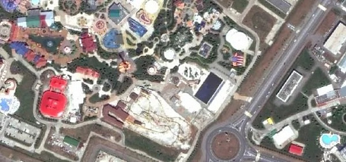
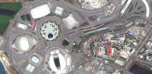
Creation of orthophotomaps for urban planning activities.
Ordering and delivery of ultra-high spatial resolution 30 cm satellite imagery from the WorldView-3 satellite.
Color correction, light correction, geometric correction using RPC, ortho-correction of satellite images using AlosWorld DEM 3D-30 m.
Production of orthophoto maps in the local coordinate system (LCS).
The created orthophotomaps meet the requirements for urban planning activities of Sochi.








Feliks Fokin

Open WeChat and scan the QR code to add the contact. On a phone, save the code and select it in the WeChat scanner.