Contact

Creation of a digital topographic plan of open use at a scale of 1:5000

01

About the project

Implementation of work on the creation of a digital topographic plan for open use on a scale of 1: 5000 for the development of a planning project and a project for land surveying of the territory of the gas pipeline compressor

Industry Oil and gas
Customer

Transnational energetic company

End date 06/30/2020
02

Project goal

Implementation of work on the creation of a digital topographic plan of open use on a scale of 1: 5000 for the development of a planning project and a project for land surveying of the gas pipeline workshop

03

Completed works

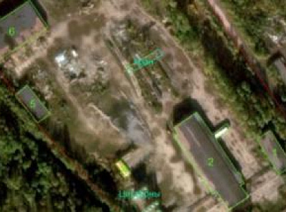
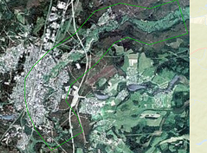
  1. Selection and purchase of materials for Earth remote sensing (ERS)
  2. Creation of orthophotomaps and presentation of a single array and nomenclatures of trapeziums at a scale of 1: 5,000 in MSK-29, in the Baltic system of heights of 1977. in * .TIF (GeoTIF) format.
  3. Creation of a digital topographic plan (CTP) in a scale of 1: 5000, within the established boundaries in AutoCAD format (*. Dwg). Formation of the topographic plan should be carried out by functional layers. Layers must be agreed with the Customer. The created TSC should be combined into a single array of cartographic information within the boundaries of the work.
  4. Technical report (explanatory note) in electronic form (MS-Word format, * .pdf in a scan with the artist's signature).
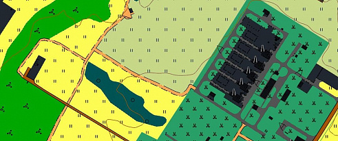
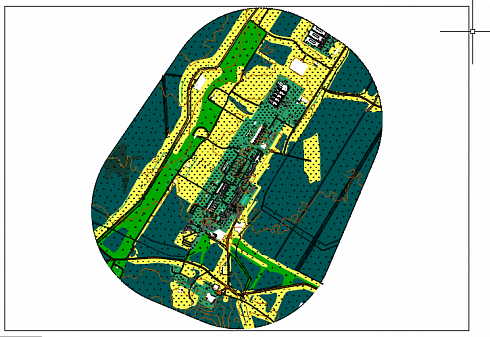
Fragment of a digital topographic plan of open use at a scale of 1: 5000 with RPP (left) without RPP (right)
04

Result

Electronic materials transmitted to the customer via FTP are structured and accompanied by a description:

  • text materials in the ODF / DOC / DOCX / RTF / PDF / XLS / XLSX format;
  • topographic plans in vector form in the GIS AutoCAD (dwg) format.
  • demos in JPEG / JPG / TIFF / PDF and PPT / PPS format.

Creation of a digital topographic plan of open use at a scale of 1:5000
Digital topographic plan of open use, scale 1:5000 for the development of a planning project and a land survey project

Need satellite imagery or help choosing the right data?

Describe your task, area of interest, and desired outcome. We will check data availability, assess new acquisition options, and propose the optimal solution in terms of timelines, cost, and quality.
clients who trust us
25+ years in the geodata market
Request a call back
Back to page top
Мы используем Яндекс.Метрика и собственные Сookies для обеспечения наилучшего опыта работы на нашем сайте, персонализации сайта для наших пользователей и аналитики. Продолжая использовать сайт вы соглашаетесь с условиями Пользовательского соглашения.