GEO Innoter offers a special price on both radar and spectral images from Chinese satellites!
|
Satellites (European, USA) |
Ground sample distance |
Satellites (China) |
Ground sample distance |
|
|
Optical data |
||||
|
Worldview-3, Legion |
0,3 m |
|
0,3 - 0,4 m |
|
|
Satellites constellation (USA) |
0,5 m |
0,5 m |
||
|
0,7 – 1,5 m |
⇒ |
Gaofen-2 , |
0,75 -1,0 m |
|
|
5 m |
GaoFen-1/6 |
2 m |
||
|
SAR data |
||||
|
TerraSAR-X (X-Band) |
0,25 - 40 m |
SuperView NEO-2 (X-Band) Taijing-4 (X-Band) |
0,5 – 6 m 1- 3 m |
|
|
ALOS-2 (L-Band) |
3 – 100 m |
|
LuTan-1 (L-Band) |
3 м – 30m |
|
Radarsat-2 (C-Band) |
1 – 100m |
|
HiSea-1 (C-Band) ChaoHu-1 (C-Band) |
1 – 20 m 1 – 20 m |
Chinese Earth Observation constellation consists of 150+ satellites in total and this amount contributes to the active updating of archival materials over the entire globe territory.
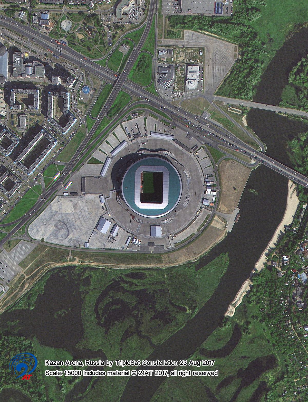
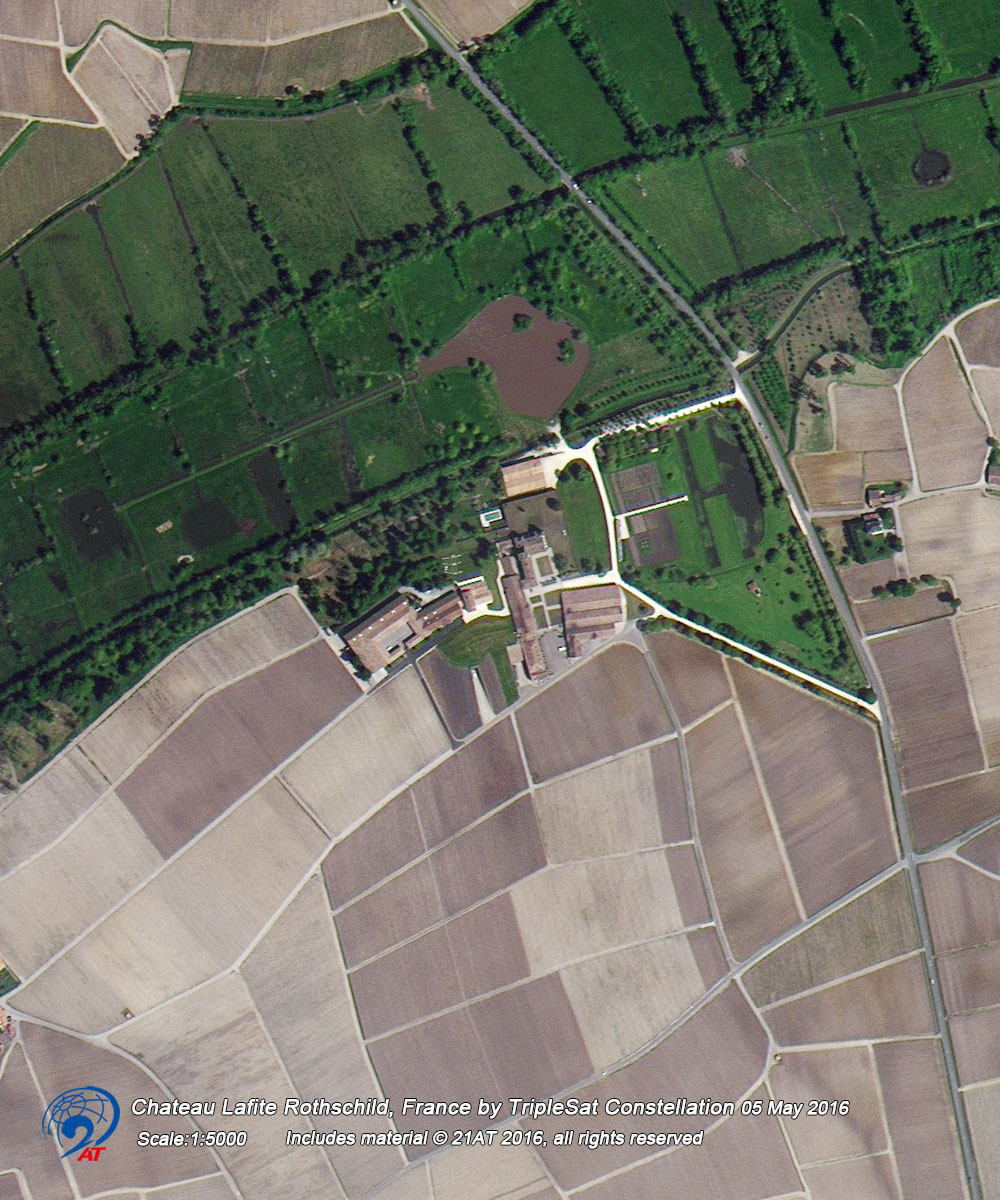
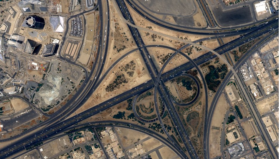
GEO Innote offers a full range of optical and radar data (SAR) obtained from Chinese civil satellites with a resolution of up to 0.3 m. The proposed data are not inferior in quality to American and European analogues.
During the 2019-2024 Chinese satellites have collected a big archive of imagery that covers Russia and CIS!
The size of the discount depends on the AOI’s square and is calculated individually for each customer.
To make an order contact us by phone: +7 (495) 245-04-24 or via e-mail: innoter@innoter.com or fill in the form on our website.