



Search the site
We select data, process it and deliver results tailored to your task
Innoter covers the full workflow: from selecting satellite, aerial and LIDAR data to analytics, maps, terrain models, reports and GIS systems.
01
Geospatial Data and Surveying
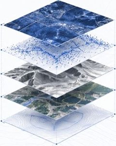
We select archive satellite imagery and arrange new surveys to match your area of interest, schedule and required level of detail.
We provide
Result
Imagery and point clouds with the coverage and specifications needed for further processing, analysis or design.
02
Photogrammetry and Terrain Models
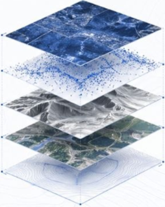
We process survey data to create orthophotos, digital terrain and surface models, and 3D models for design and spatial analysis.
What we do
Orthophotos
Seamless orthomosaics
Digital terrain models
Digital surface models
3D models of sites and structures
Photogrammetric image processing
Result
Orthophotos and digital models in the agreed formats and coordinate system, meeting the accuracy requirements of the project specification.
03
Mapping and Geospatial Products
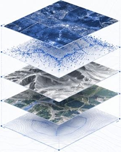
We create and update maps, plans and diagrams using survey data and spatial analysis. We tailor their content and scale to your project.
What we do
Topographic maps
Thematic maps
Topographic plans
Map updates
Map and plan digitisation
Spatial diagrams
Result
Maps, plans and digital layers containing the features you need for GIS workflows, project documentation and presentations.
04
Territory and Object Monitoring
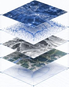
We compare imagery from different dates to identify changes and assess the condition of sites and assets, helping you track progress and manage risks.
What we do
Construction monitoring
Deformation and displacement monitoring
Protected corridor monitoring
Land-use change detection
Vegetation monitoring
Monitoring the impacts of emergencies
Result
Change maps and a report showing identified deviations, their locations and how they have evolved over the selected period.
05
Thematic Analysis and Sector Studies
We analyse satellite imagery and geospatial data to address sector-specific questions. We identify relevant features, assess indicators and prepare findings.
What we do
Satellite image interpretation
Land-cover classification
Geological analysis
Vegetation condition assessment
Environmental site assessment
Natural hazard analysis
Result
Thematic maps, calculated indicators and an analytical report with findings specific to your area and objectives.
06
Satellite Imagery as evidence in legal proceedings
We examine satellite imagery and geospatial data to establish the condition of sites and structures at a specific date in land and property disputes.
What we do
Retrospective site analysis
Establishing the presence of structures on the image date
Analysis of changes in feature boundaries and areas
Examination of actual land use
Analysis of construction stages
Preparation of expert reports
Result
An expert report with research findings, maps, imagery and substantiated answers to the questions posed.
We provide
Result
Imagery and point clouds with the coverage and specifications needed for further processing, analysis or design.
What we do
Orthophotos
Seamless orthomosaics
Digital terrain models
Digital surface models
3D models of sites and structures
Photogrammetric image processing
Result
Orthophotos and digital models in the agreed formats and coordinate system, meeting the accuracy requirements of the project specification.
What we do
Topographic maps
Thematic maps
Topographic plans
Map updates
Map and plan digitisation
Spatial diagrams
Result
Maps, plans and digital layers containing the features you need for GIS workflows, project documentation and presentations.
What we do
Construction monitoring
Deformation and displacement monitoring
Protected corridor monitoring
Land-use change detection
Vegetation monitoring
Monitoring the impacts of emergencies
Result
Change maps and a report showing identified deviations, their locations and how they have evolved over the selected period.
What we do
Satellite image interpretation
Land-cover classification
Geological analysis
Vegetation condition assessment
Environmental site assessment
Natural hazard analysis
Result
Thematic maps, calculated indicators and an analytical report with findings specific to your area and objectives.
What we do
Retrospective site analysis
Establishing the presence of structures on the image date
Analysis of changes in feature boundaries and areas
Examination of actual land use
Analysis of construction stages
Preparation of expert reports
Result
An expert report with research findings, maps, imagery and substantiated answers to the questions posed.
We solve tasks where accurate territory data matters
We help you quickly obtain data ready for practical use
From task to the right data and outcome
The client does not need to know in advance which imagery, models or GIS tools are required. It is enough to describe the object, territory and desired outcome — we will select data sources, processing format and deliverables for the task.
Task

Data selection
Analysis / processing
Map, report, model or GIS
01
Change monitoring
Tracking dynamics of territories, facilities, construction, natural processes and violations over different periods.
02
Cartography and terrain models
Creation of maps, orthophotomaps, DEMs, DSMs, 3D models and other spatial materials.
03
Design and construction
Preparation of geodata for design work, site surveys, construction progress monitoring and infrastructure.
04
Expertise and fact verification
Materials for legal, land, insurance and expert tasks where territorial status on a specific date must be confirmed.
05
Infrastructure management
Monitoring of distributed assets: pipelines, roads, energy facilities, industrial sites and protection zones.
06
Industry analysis
Geoanalytics for agriculture, forestry, ecology, subsoil use, water bodies and natural risks.
Technologies for different industries
Geospatial data and analytics support informed decision-making in key sectors of the economy and public administration.


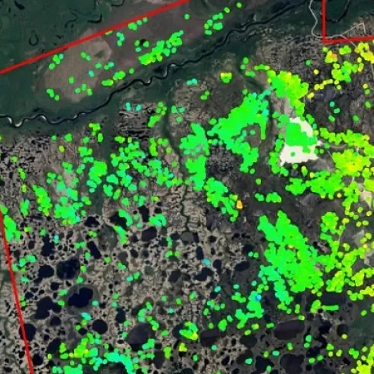
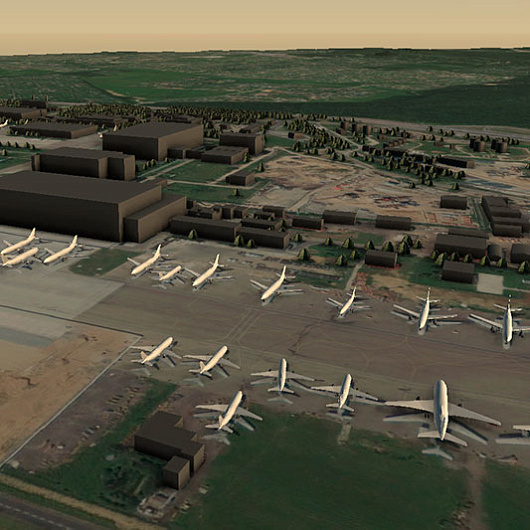
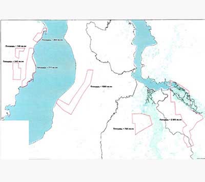
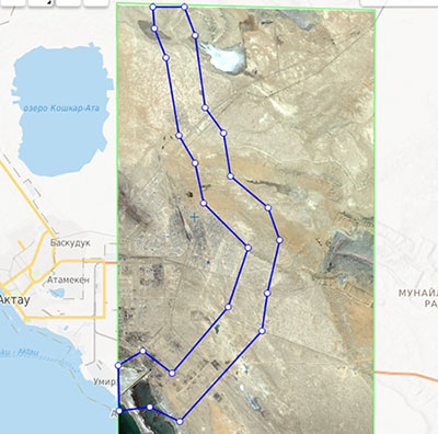
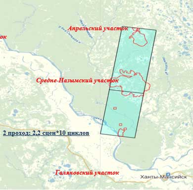
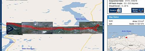
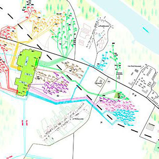
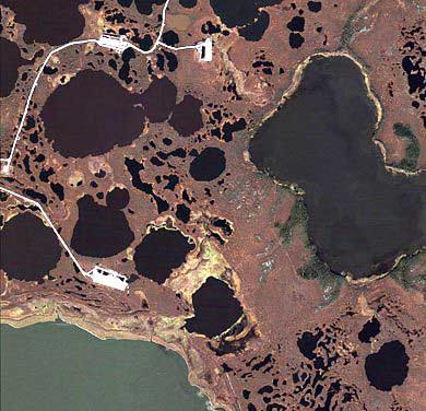
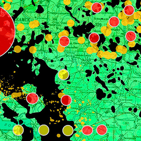
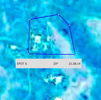
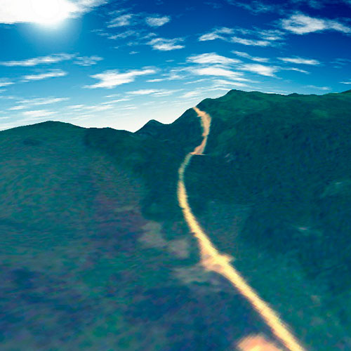
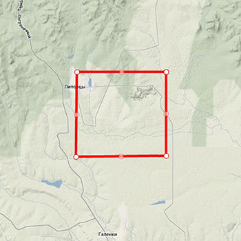
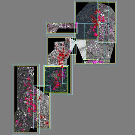
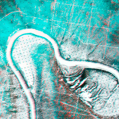
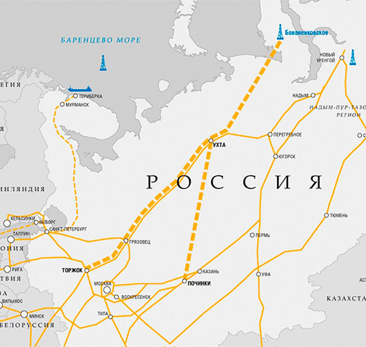
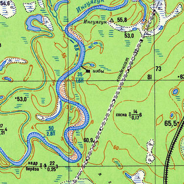
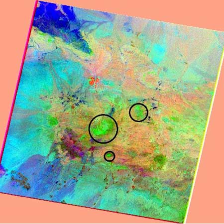
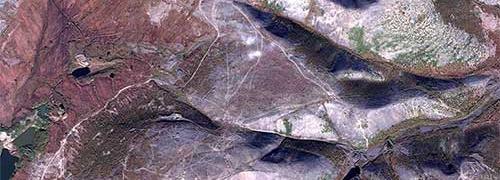
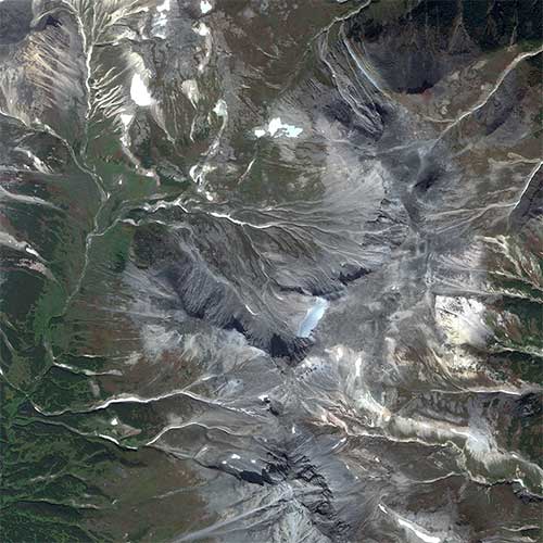
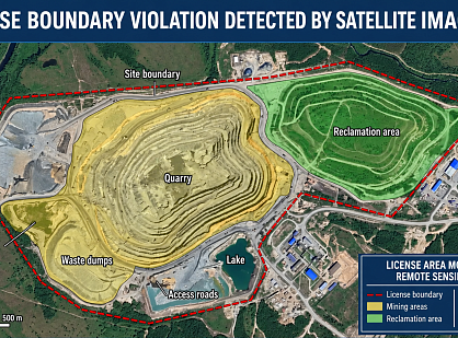
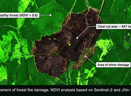
Real projects — real results
We solve complex challenges using advanced technologies and expertise in geospatial data.





Why Innoter
Selecting data for the task
We offer only those photos that are truly suitable for your result.
Archival data and new footage
We check for the availability of archival materials and, if necessary, organize new filming.
Selecting data for the task
We offer only those photos that are truly suitable for your result.
Selecting data for the task
We offer only those photos that are truly suitable for your result.
Selecting data for the task
We offer only those photos that are truly suitable for your result.
Selecting data for the task
We offer only those photos that are truly suitable for your result.
Articles

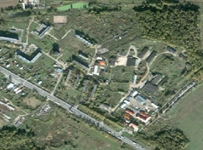
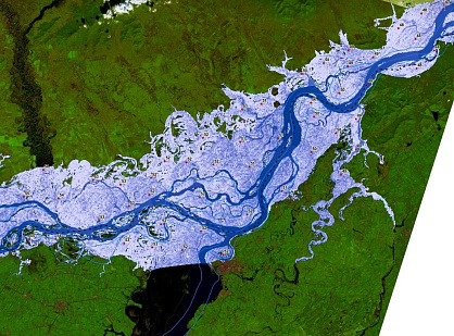
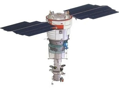
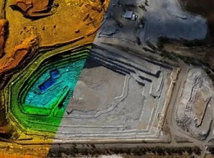
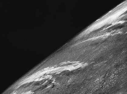
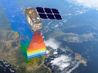
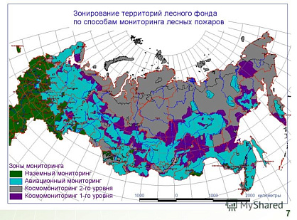
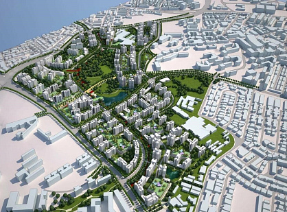
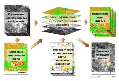
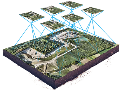
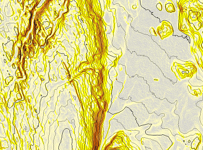
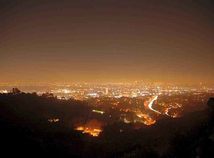
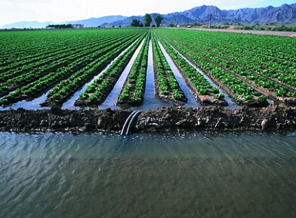
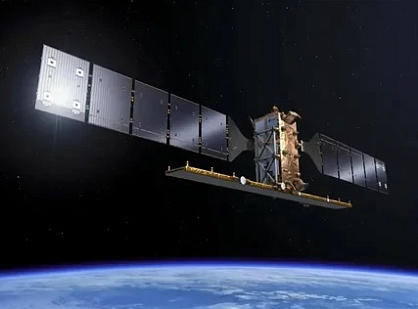
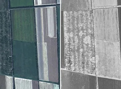
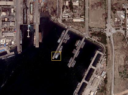
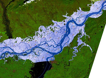
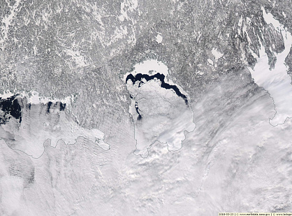
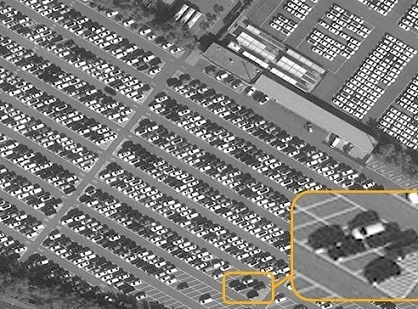
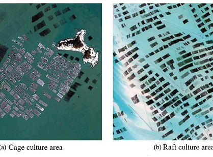
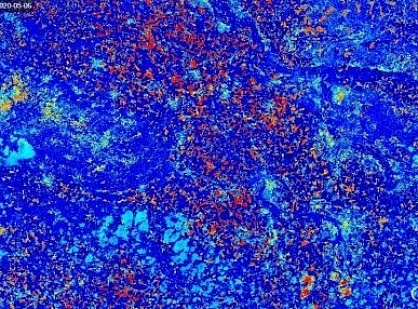
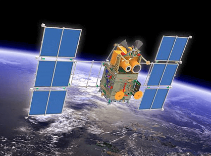
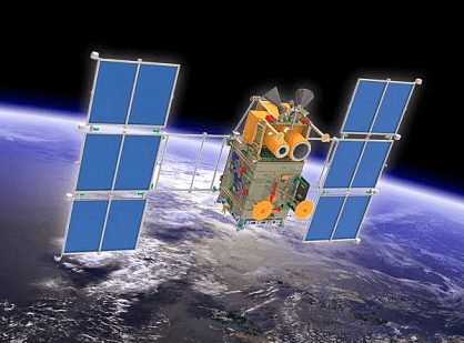
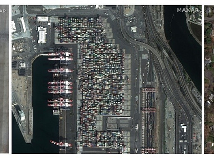
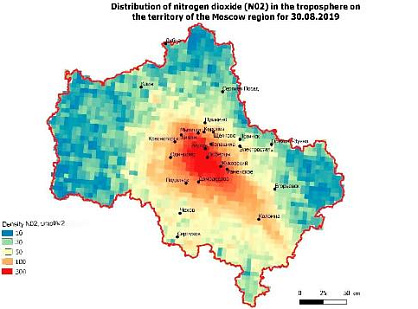
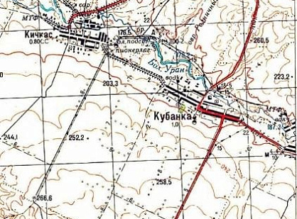
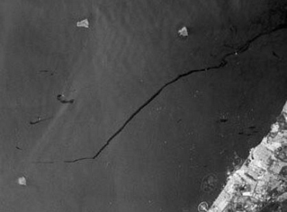
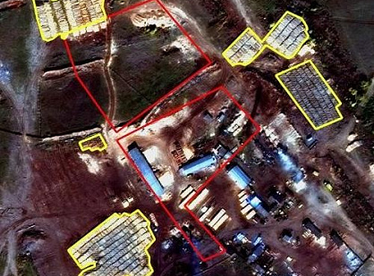
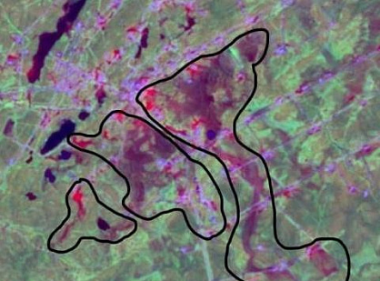

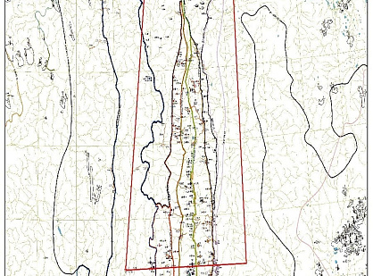
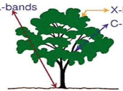
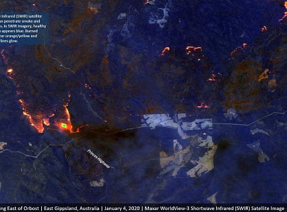
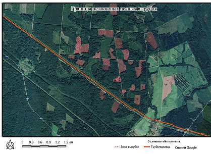
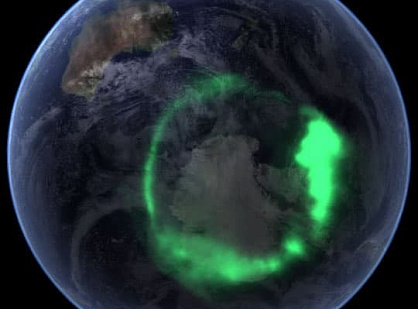
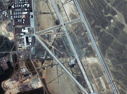
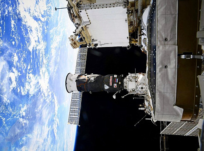
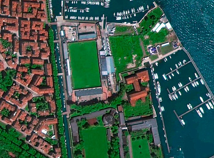
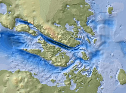
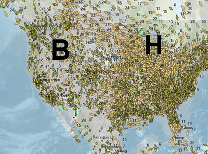
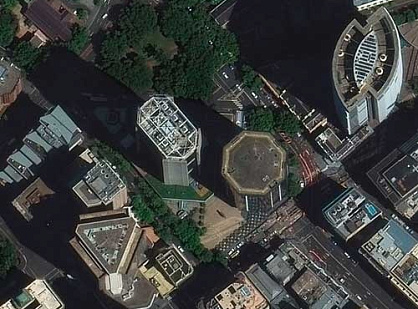
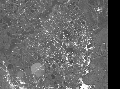
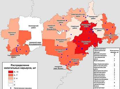
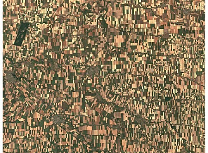
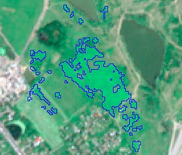
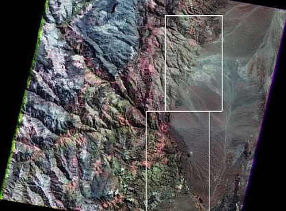
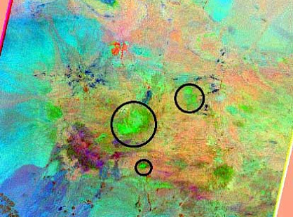
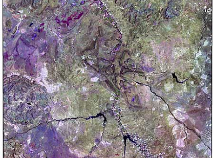
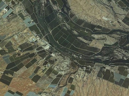


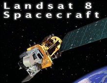
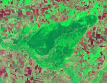
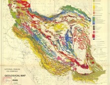

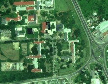
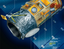
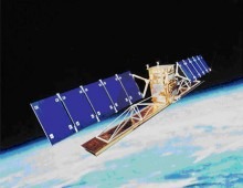
Factors affecting the photographic quality of space images
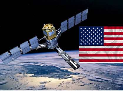
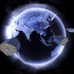
Space imagery capabilities are advancing rapidly, opening new possibilities in both civil and military domains. On August 13, 2014, from Vandenberg Air Force Base (California, USA), the Atlas V 401 rocket successfully launched the WorldView-3 satellite.
With the launch of WorldView-3, the space group...




News and Events
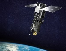
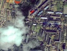
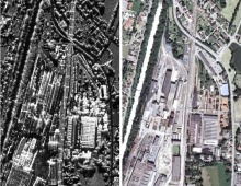
We track the company’s progress, industry events, and new opportunities in geospatial technologies. We publish news, press releases, and important updates from Innoter.



Merry Christmas and Happy New Year!

GEO INNOTER team will participate in the the 3rd Joint International Scientific and Technical Conference “DIGITAL REALITY: Space & Geospatial Data, Processing Technologies
We are pleased to announce that GEO INNOTER team will participate in the the 3rd Joint International Scientific and Technical Conference “DIGITAL REALITY: Space & Geospatial Data...


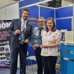

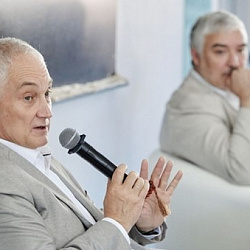
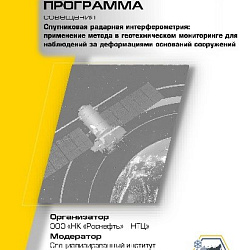

Employees of LTD "GEO INNOTER" from September 6 to 9 in Irkutsk.
Chief Engineer - Evgeny Zazulyak and Director for Corporate and Government Segments - Tatiana Kuleshova will take part in the joint International Conference "DIGITAL REALITY".
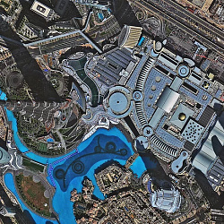
High resolution images at up to 47% off!
For SuperView-1 satellite imagery with spatial resolution of 50 cm there is a special offer till the end of June!

Need satellite imagery or help choosing the right data?
Describe your task, area of interest, and desired outcome. We will check data
availability, assess new acquisition options, and propose the optimal solution in terms of timelines, cost,
and quality.
Discuss the project
clients who trust us
25+ years in the geodata market






