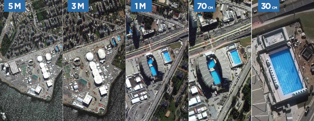
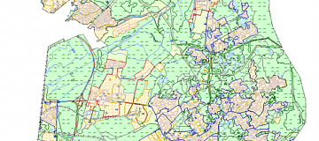
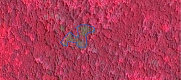
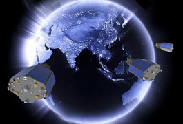
Satellite imagery / Satellite data - one of the methods of remote sensing of the Earth surface by means of spacecraft located in orbit and allowing obtaining images of the terrain in visible, infrared and radio bands of the spectrum with specified parameters and characteristics.
Remote sensing of the Earth - observations and measurements of natural and reflected radiation of land, ocean and atmosphere of the Earth in different ranges of electromagnetic waves by means of specialized equipment installed on spacecraft and other aircrafts for the purpose of detecting changes, location and temporal variability of natural phenomena, Earth objects, the environment and anthropogenic objects.
Remote sensing of the Earth - observations and measurements of natural and reflected radiation of land, ocean and atmosphere of the Earth in different ranges of electromagnetic waves by means of specialized equipment installed on spacecraft and other aircrafts for the purpose of detecting changes, location and temporal variability of natural phenomena, Earth objects, the environment and anthropogenic objects.

You can order from us
Prices for services
| Consultation | free |
|---|---|
| Imagery selection, preliminary analysis | free |
| Ordering space imagery |
Buy space imagery from $0.1 to $200 per 1 km2 depending on the survey (archive-new, mono-stereo, spatial resolution, panchromatic / multispectral / hyperspectral imagery ) * |
| Period of performance | From 5 working days (depends on volume, category of complexity, availability of archived images) |
* - Free of charge, if the customer provides his own materials, or it is possible to use free images.
The cost of execution is calculated on an individual basis, taking into account a specific of task.
After receiving the task description, we calculate the cost and send you a commercial offer.
Period of execution
Duration of work is from 5 (five) working days and is calculated individually for each customer.The term of work performance depends on the total shooting area, the number of images to be processed and their type (mono-stereo) and is calculated individually for each customer.
How to place an order:
Need for consultation?
Fill the form and we will contact you
Stages of service provision
The result of the provision of services
Creation of the final product based on space imagery materials:archived space imagery of different kinds: black and white, color, multispectral, synthesized;
materials of new space imagery of different types;
Space radar imagery materials.
GEO INNOTER delivers the end products to the customer, requesting the space imagery materials, in accordance with the Technical Assignment on electronic media or via the Internet via FTP-server.
Requirements to raw data
Exact coordinates of the area of interest, requirements to the space imagery materials (ground resolution, imagery type, maximum image angle, minimum sun angle, maximum permissible cloud cover percentage, imagery period).
If there is no possibility to provide the above information, provide information for what purposes the remote sensing data is to be used, and the specialists of LLC "GEO INNOTER" will analyze the requirements and offer the best option to solve the problem.
Related services
Digital orthoimagery (Orthorectification)
Find out the price

Satellite Imagery as evidence in legal proceedings
Find out the price

Remote sensing imagery Interpretation & spectral analysis
Find out the price

LIDAR Aerial Survey
Find out the price

Photogrammetric processing (Image Processing)
Find out the price

Nighttime Satellite Imagery
Find out the price
Completed projects

The material was checked by an expert
Zazulyak Evgeny Leonidovich
Engineer, 28 years of experience, Education - Moscow Topographic Polytechnic Technical School, St. Petersburg Higher Military Topographic Command School named after Army General A.I. Antonov, Military Engineering University named after V.V. Kuibyshev. Kuibyshev Military Engineering University.
Customers
FAQ
The problem to be solved using space imagery;
area of interest (location / coordinates of the object in any convenient form, and the area of the object);
date or time interval for which the archived imagery can be picked up or a new imagery can be performed;
imaging requirements (image angle, sun angle, spatial resolution, type of imaging, cloud cover, permissibility of snow cover)
As a rule, the minimum ordering area for archived space imagery is 25 km2, and for new space imagery - 100 km2.
The minimum order strip width (distance between two nearest points) can be from 2 to 5 km depending on the spacecraft operator, imaging mode and product.
The minimum order strip width (distance between two nearest points) can be from 2 to 5 km depending on the spacecraft operator, imaging mode and product.
- For new imagery: if the area of work is known in advance, but there are no images with the required parameters in the archives of spacecraft operators and the allowed time interval for new imagery is long enough to complete it in standard mode (without extra charge for acceleration and priority), there is an option of speculative imagery - that is de facto new imagery, but without obligations to buy out. Since archived remote sensing materials are cheaper than ordering new imagery, as soon as the speculative imagery is archived, it can be purchased at a reduced price. After 60 days the price is usually further reduced.
- For new and archived imagery: If the area of interest is a set of separate unconnected polygons, each smaller than the minimum order area (25 km2 for archival imagery or 100 sq.km. (see point 1)), it is reasonable to combine them into polygons, each larger than the minimum order area to reduce the total cost.
The time of work performance depends on the area of the territory, requirements to the parameters of the survey. Minimal term of work execution is from 4 hours. Standard delivery time - 5 working days
100% prepayment on the bill for remote sensing materials after signing the contract, the rest of the payment after the execution of works.


