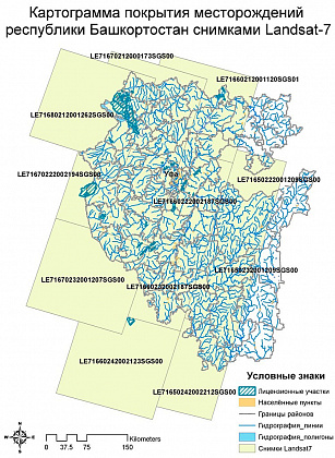
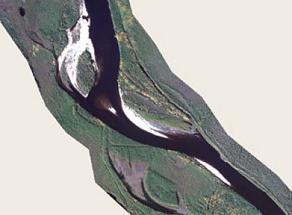
The lineament systems interpretation system was based on three large-scale levels: regional, local, and detailed. At each level, the most informative archival space materials were used for the territory of the Republic of Bashkortostan and parts of the Orenburg region with different resolution from satellites (Fig. 1):
-
Terra ASTER, UK-DMC2, LANDSAT-5/7 – medium resolution, covering about 120,000 sq.km.;
-
RapidEye, ALOS PRISM / AVNIR – high resolution, 2500 sq. km;
-
QuickBird, WorldView-1/2, Ikonos, GeoEye-1 – ultra-high resolution, with an area of 500 sq. km.
When preparing images from spacecraft for the structural interpretation of the lineament systems, a set of digital information processing was performed, which included:
-
radiometric correction;
-
geometric correction;
-
geolocation of images;
-
orthorectification of space images;
-
cutting images along a strip of a site (object);
-
stitching images obtained from different frames and space systems;
-
creation of pseudo-color-coded and synthesized images from various channels of the visible and IR zones of the spectrum, prepared for structural interpretation of lineament systems.
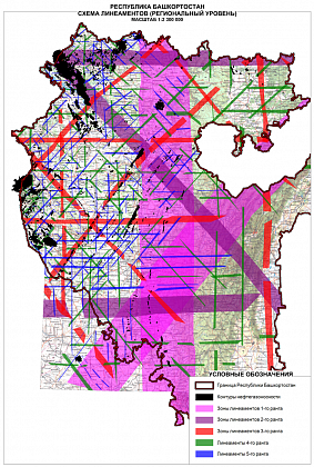
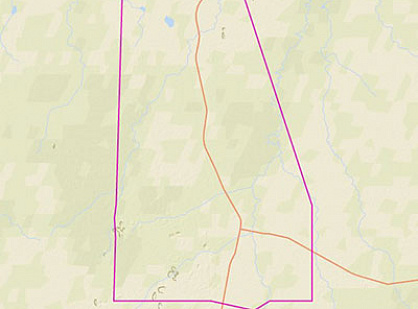
At the regional level, the entire territory of the Republic of Bashkortostan and parts of adjacent territories were studied, a basic lineament-block model was built (models) based on the integration of the results of structural interpretation of orthogonal (latitudinal-meridional orientation) and diagonal (north-west and north-east) lineaments systems ( as the most common systems of planetary fracturing), structural and geomorphological analysis and generalizations of geological and geophysical materials (Fig. 2).
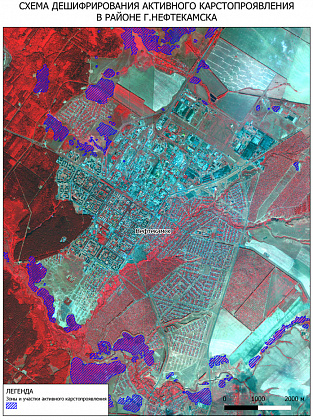
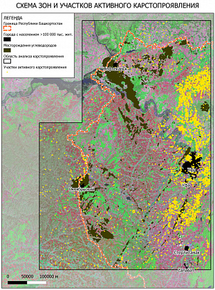
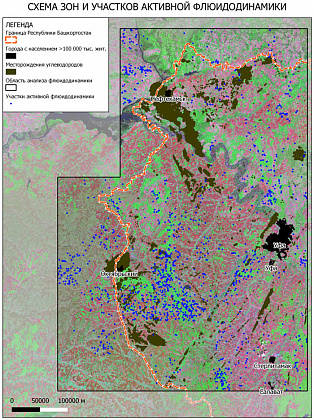
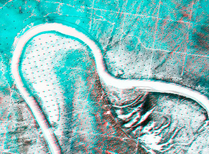
In addition, for expert assessment of the geodynamic conditions of the lithosphere surface (fluid dynamics and hazardous exogenous processes), areal topographic maps and satellite imagery were used for areal interpretation of groundwater exits (springs and keys) and karst manifestations (Figures 3, 4 and 5).
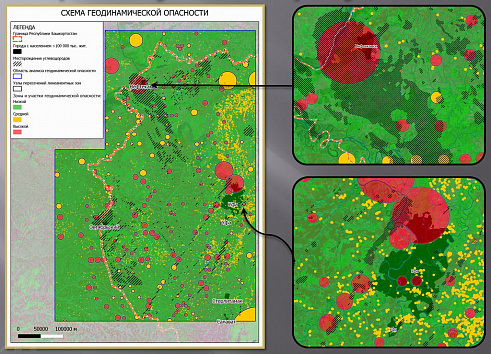
The resulting schemes formed the basis for assessing the degree of geodynamic danger of the territory of developed oil production of the Republic of Bashkortostan, presented in the form of an integrated traffic light circuit (Fig. 6).