



Search the site
Optical imaging
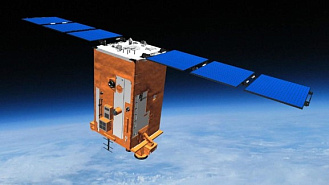
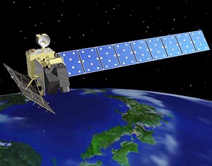
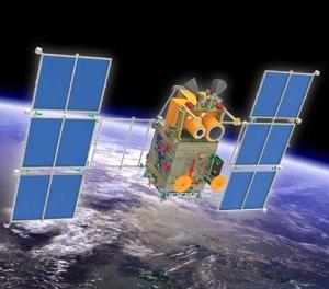
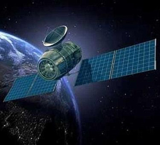
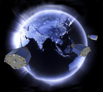
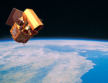
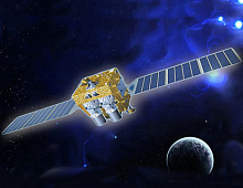
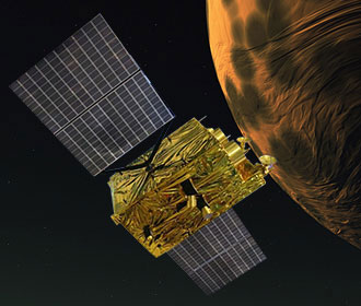
Uses cameras operating in the visible and infrared spectrum. Suitable for detailed monitoring of the Earth's surface in clear weather and during daytime.
- High detail in the visible spectrum
- Wide spectral coverage
- Optimal for mapping and monitoring
- Effective in partly cloudy weather
Radar Imaging (SAR)
Uses radar systems operating independently of lighting or weather conditions. Capable of acquiring data through clouds and at night.
- Works at any time of day and in any weather
- Penetrates clouds and haze
- Applicable for surface observation
- Highly sensitive to changes
Как читать каталог
В карточках спутников указаны ключевые параметры, которые помогут вам сравнить аппараты и выбрать подходящий.
Resolution
The minimum size of an object in the image that can be distinguished (in meters).
Spectral channels
The wavelength ranges in which the image is captured. The more channels, the broader the analysis capabilities.
Stereo photography
Possibility of obtaining stereo pairs for constructing 3D models and digital relief models.
Video shooting
Receiving video data in real time or at high frequency.
Relevance
Satellite status: operational, non-operational, or planned.
Don't know which satellite to choose?
We'll tell you what kind of survey is suitable and check the availability of data for your area.
Need satellite imagery or help choosing the right data?
Describe your task, area of interest, and desired outcome. We will check data
availability, assess new acquisition options, and propose the optimal solution in terms of timelines, cost,
and quality.
Discuss the project
clients who trust us
25+ years in the geodata market






