your companion in the world
of geospatial solutions
of geospatial solutions
Operation mode:
Mon-Fri: 10:00 - 18:00
Sat-Sun: Non-working days
For 20 years Innoter develops, implements and integrates its own and partners' products and solutions in the fields of IT, remote sensing and cartography
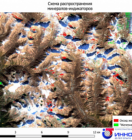
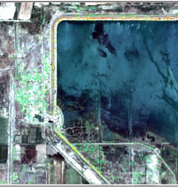

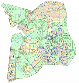

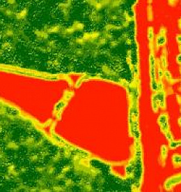
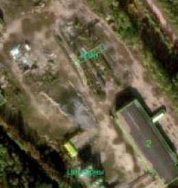

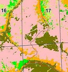
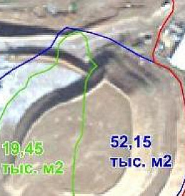
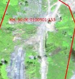

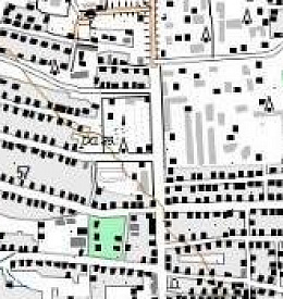
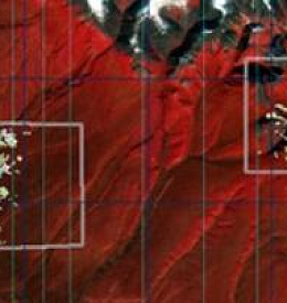
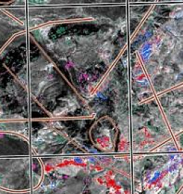
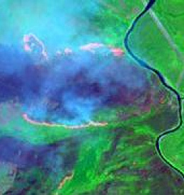
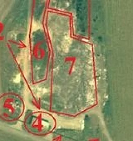
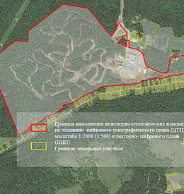
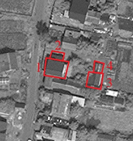
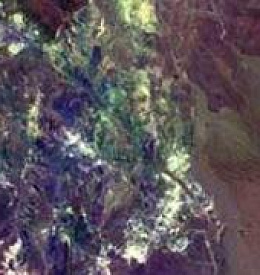
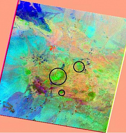
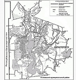
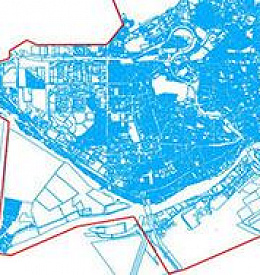
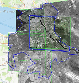
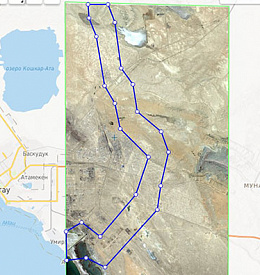
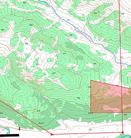
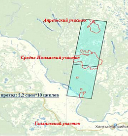
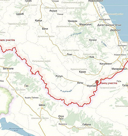
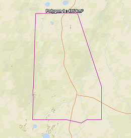
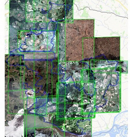
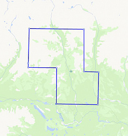
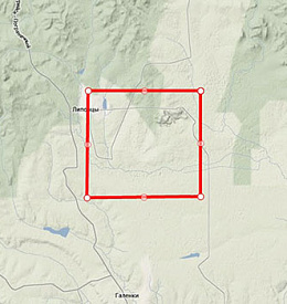
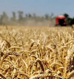
Land use and territory management
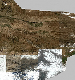
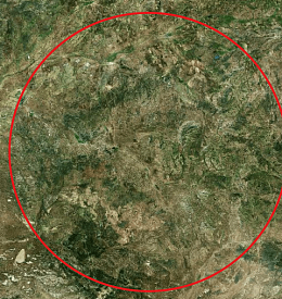
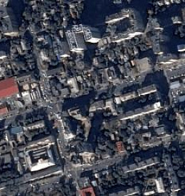
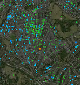
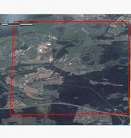
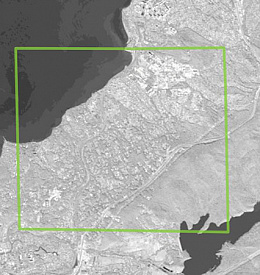
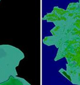
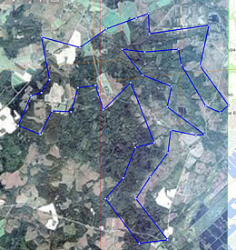
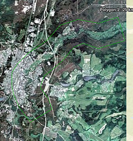
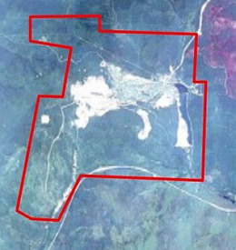
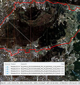
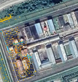
Creation of an orthomosaic for the city of Rostov-na-Don
Read more
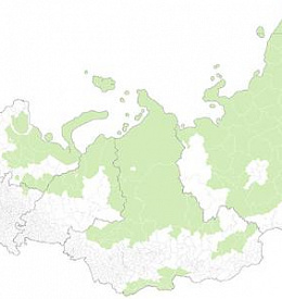
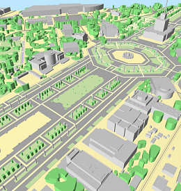
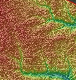
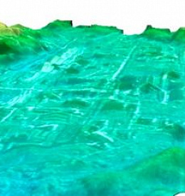
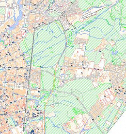
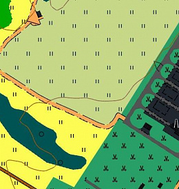
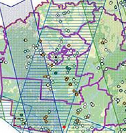
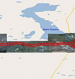
Mapping
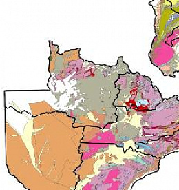
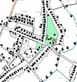
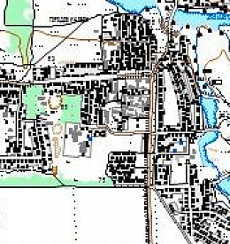
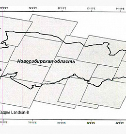
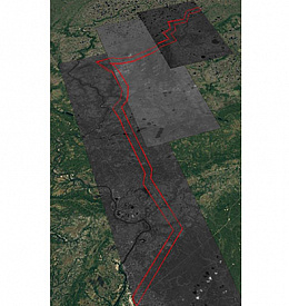
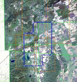
Creating a digital cartographic basemap on the territory of the Russian Federation
Read more


Operation mode:
Mon-Fri: 10:00 - 18:00
Sat-Sun: Non-working days